
Google Earth has expanded its data layer coverage to include Mexico and other global regions, offering users access to historical flood information and additional geospatial datasets. This enhancement allows individuals, researchers, and planners to explore flood patterns from 1999 to 2020 through specialized layers available in the platform.
The flood history layer displays the percentage of time areas were inundated over a 21-year period, categorizing regions into three levels: areas wet 5% of the time, 1% of the time, and 0.5% of the time. This visualization helps identify zones prone to light, moderate, or severe flooding, supporting risk assessment and urban planning efforts.
Access to the flood history layer and other advanced data layers requires a subscription to either Google Earth Professional or Google Earth Professional Advanced plans, priced at $75.00 and $150.00 USD annually, respectively. New Google Cloud users can take advantage of a free 90-day trial or up to $300.00 in credits, which can be shared with up to three additional users.
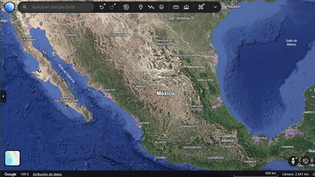
To use the flood history layer, subscribers must open Google Earth, navigate to the data layers menu, and search for “Historial de inundaciones.” After selecting the layer and creating a new map, the flood visualization appears, showing spatial patterns across Mexico and other countries. Users can zoom into specific locations and utilize Google Maps tools such as 3D terrain views and Street View to examine flood-affected areas in detail.
In addition to flood data, the expanded Google Earth layers include information on electric vehicle charging infrastructure and the percentage of trips made by bicycle. These datasets support sustainability planning and transportation analysis, offering insights into emerging mobility trends and energy transition progress.
The integration of these layers into Google Earth reflects a broader effort to democratize access to geospatial intelligence. By combining satellite imagery with temporal datasets, the platform enables users to monitor environmental changes over time, supporting applications in disaster preparedness, climate adaptation, and infrastructure development.
According to Google’s official announcements, the expansion of data layers in Google Earth aims to empower users with actionable insights derived from authoritative sources. Although specific partner organizations were not named in the available materials, the flood history data is described as being derived from long-term remote sensing observations.
Users interested in accessing these features must ensure they have the appropriate subscription level, as the flood history and related advanced layers are not available in the free version of Google Earth. The platform remains accessible via web browsers and desktop applications, with full functionality available after authentication through a Google Cloud or Google Earth account.
As geospatial tools continue to evolve, platforms like Google Earth are playing an increasingly important role in public awareness and decision-making related to natural hazards. The availability of multi-year flood records provides a valuable baseline for understanding exposure risks, particularly in regions vulnerable to seasonal rainfall and river overflow.
For the most current information on data layer availability, pricing, and access procedures, users are encouraged to consult the official Google Earth website or Google Cloud documentation. These sources provide verified details on subscription options, trial eligibility, and step-by-step guidance for enabling advanced features.
Stay informed about updates to Google Earth’s data offerings by following official channels from Google and Google Cloud. Share your experiences with the flood history layer or other geospatial tools in the comments below, and help others discover how technology can support resilience and informed planning.