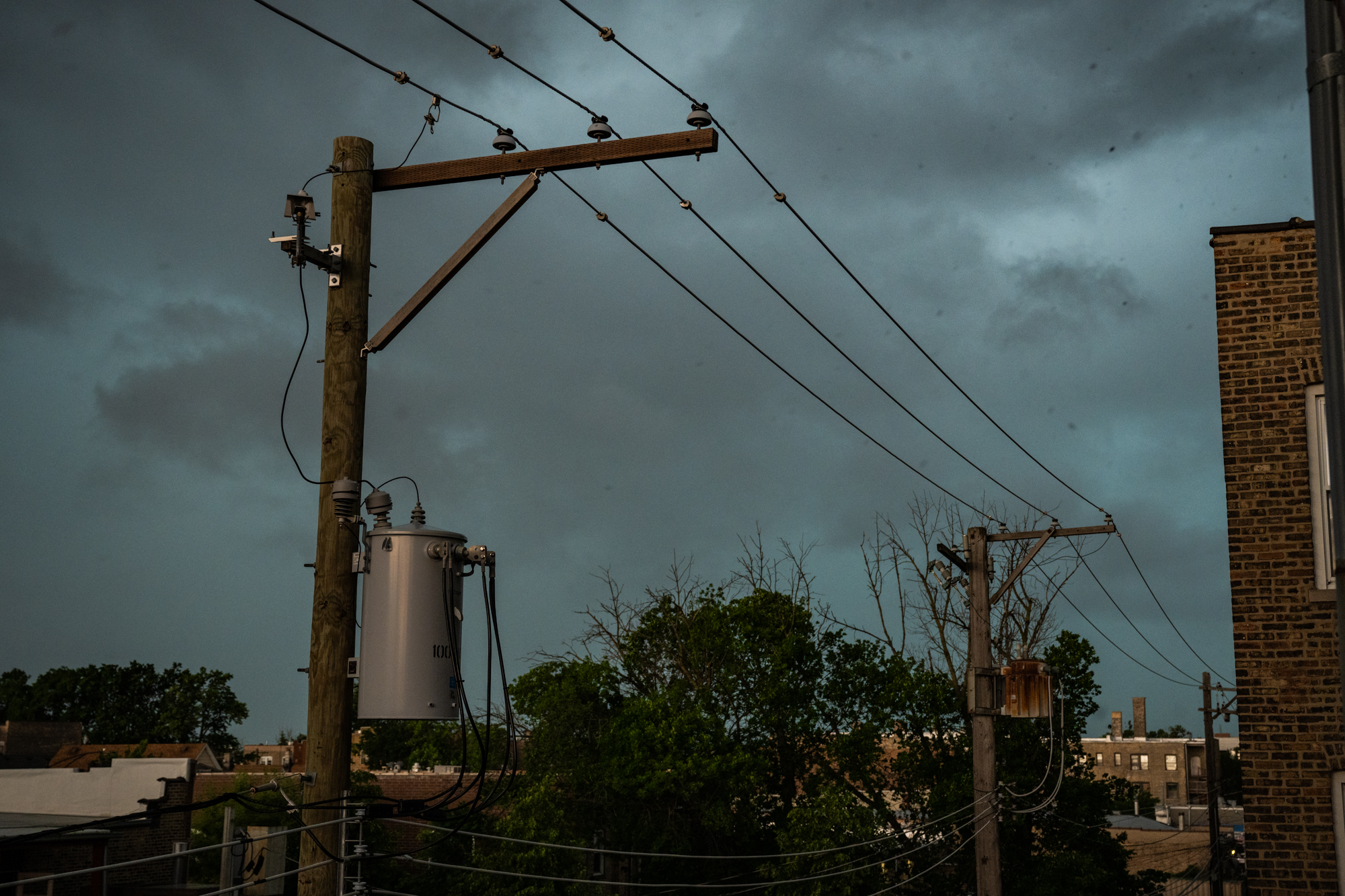
Chicago is under a heightened threat of severe weather as another storm system approaches, just days after a deadly tornado outbreak left widespread destruction across Illinois and Indiana. The National Weather Service (NWS) has issued warnings for potential tornadoes, damaging winds, and heavy rainfall, with meteorologists cautioning that the new system could bring further hazards to areas still recovering from last week’s storms. As of Saturday, December 14, the NWS Chicago office confirmed at least 23 tornadoes in Illinois alone since Thursday, December 12, with additional reports under review.
Last week’s storms—including a powerful derecho that raced across the region—left thousands without power, damaged homes, and disrupted transportation. Mayor Brandon Johnson declared a state of emergency on Friday, December 13, as crews worked to restore utilities and clear debris. “This city is working tirelessly to fix storm damage, but the challenges ahead are immense,” Johnson said in a statement. As of Saturday evening, ComEd reported that over 50,000 customers remained without power across the Chicago metropolitan area, with restoration efforts ongoing.
The latest forecast from the NWS suggests that the new storm system could intensify Sunday, December 15, with the highest risk of tornadoes and severe thunderstorms expected in northern Illinois, including the Chicago area. “This is not just another rainstorm,” said Mark Hoffman, a meteorologist with the NWS Chicago office. “We’re looking at a setup that could produce large, long-track tornadoes, similar to what we saw last week.” The Storm Prediction Center (SPC) has placed parts of northern Illinois under a “Moderate Risk” for severe weather, its second-highest threat level.
What Happened in Last Week’s Storms—and Why the New Threat Is Different
Between December 12 and 14, a series of severe thunderstorms spawned at least 23 confirmed tornadoes in Illinois, according to the NWS. The most destructive outbreak occurred on Thursday, December 12, when a derecho—a widespread, long-lived windstorm—swept through the region, generating winds exceeding 80 mph in some areas. The NWS later classified this event as a “significant severe weather episode,” noting that the derecho’s wind damage extended from Iowa to Indiana.
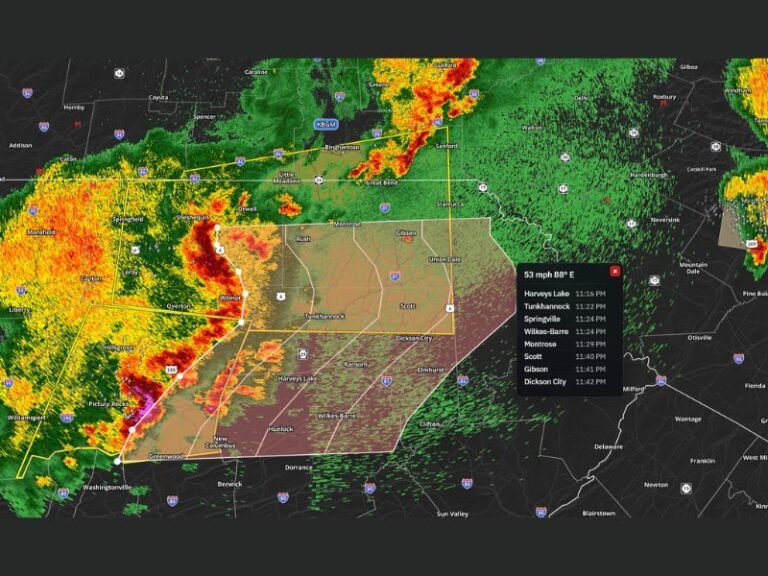
Among the confirmed tornadoes, one near Naperville, Illinois, was rated EF-2 by the NWS, with winds estimated at 110–130 mph. The storm caused significant roof damage to homes and businesses, and local authorities reported injuries but no fatalities. In contrast, last year’s December tornado outbreak in Illinois—though rare for the season—was less severe, with only a handful of weak tornadoes reported. This year’s event stands out for its intensity and the number of tornadoes confirmed in a single week.
Meteorologists attribute the severe weather to a clash of air masses: a cold front moving southward colliding with unusually warm, moist air drawn north from the Gulf of Mexico. “This is a classic setup for tornadoes in December,” explained Hoffman. “While tornadoes are most common in spring, they can—and do—occur in winter when the right conditions align.” The NWS has emphasized that the new storm system may not be as widespread as last week’s outbreak but could still produce isolated, high-impact tornadoes.
How Chicago Is Responding—and What Residents Should Do
City officials are coordinating with state and federal agencies to assess damage and expedite recovery. The Illinois Emergency Management Agency (IEMA) has activated its Incident Management Team to support local efforts, while the Federal Emergency Management Agency (FEMA) has pre-positioned resources in anticipation of additional requests for assistance. “We’re treating this like a multi-phase response,” said IEMA Director James Killefer. “First, we ensure public safety, then we restore critical infrastructure, and finally, we help communities rebuild.”
Residents in high-risk areas are advised to monitor local alerts and have an emergency kit ready. The NWS recommends the following preparedness steps:
- Know your risk: Check the NWS website or download the Weather-Ready Nation app for real-time alerts.
- Have a plan: Identify a safe shelter—basements or interior rooms on the lowest level are ideal during tornadoes.
- Stay informed: Follow updates from local authorities, including the Chicago Office of Emergency Management and the NWS Chicago office.
For those affected by last week’s storms, the City of Chicago has set up a disaster relief hotline at 312-744-3333 for assistance with repairs, temporary housing, and other needs. The American Red Cross has also opened a shelter at the Chicago Cultural Center for displaced residents.
What the Forecast Says—and What Comes Next
The NWS Chicago office has issued a Severe Thunderstorm Watch for parts of northern Illinois, effective Sunday morning, December 15. The watch area includes Cook, DuPage, Kane, and Lake counties, with the highest threat of tornadoes expected between 10 a.m. and 4 p.m. CT. “This is a fluid situation,” warned Hoffman. “We’ll continue to refine our forecasts as the system approaches, but residents should be prepared for rapid changes.”
If severe weather materializes, the NWS will issue Tornado Warnings with lead times of 10–15 minutes, giving people critical time to seek shelter. The SPC’s latest outlook suggests that the greatest risk for tornadoes will shift slightly eastward on Monday, December 16, affecting areas like Gary, Indiana, and Gary, Indiana, but Chicago remains under close monitoring.
Beyond the immediate threat, climate scientists are closely watching these winter storms as part of a broader trend. “While no single event can be attributed to climate change, the increasing frequency of severe winter weather in the Midwest aligns with projections of a warming atmosphere fueling more extreme storms,” said Dr. Jennifer Francis, a climate scientist at the Woodwell Climate Research Center. The NWS has noted that December tornado outbreaks, though rare, are becoming slightly more common due to shifts in jet stream patterns.
Key Takeaways: What Residents Need to Know
- New storm threat: Chicago faces another round of severe weather Sunday, December 15, with potential tornadoes and damaging winds.
- Last week’s damage: At least 23 tornadoes confirmed in Illinois, including an EF-2 near Naperville; over 50,000 still without power.
- Safety actions: Monitor NWS alerts, have an emergency kit, and know your shelter plan.
- Recovery resources: City relief hotline (312-744-3333) and Red Cross shelters available.
- Long-term outlook: Climate trends suggest more extreme winter weather, but each event is assessed independently.
The next NWS forecast update is scheduled for 6 a.m. CT Sunday, December 15. For real-time alerts, residents are encouraged to sign up for Wireless Emergency Alerts (WEA) and follow local emergency management channels. If you’ve been affected by the storms or have safety tips to share, leave a comment below or share this article to help others stay informed.
Worth a look
- UPI Transaction Charges: Government Clarifies No Fees for Users, MDR Possible for High-Value Merchant Payments
- Senate Approves Vote: 50 Senators Greenlight Measure Despite Democratic Opposition
- US Intelligence Warns Putin Could Test NATO With Limited Attack (archyworldys.com)
- Why Solar Storms Can Throw Your GPS Off by Yards (daybreakwire.com)