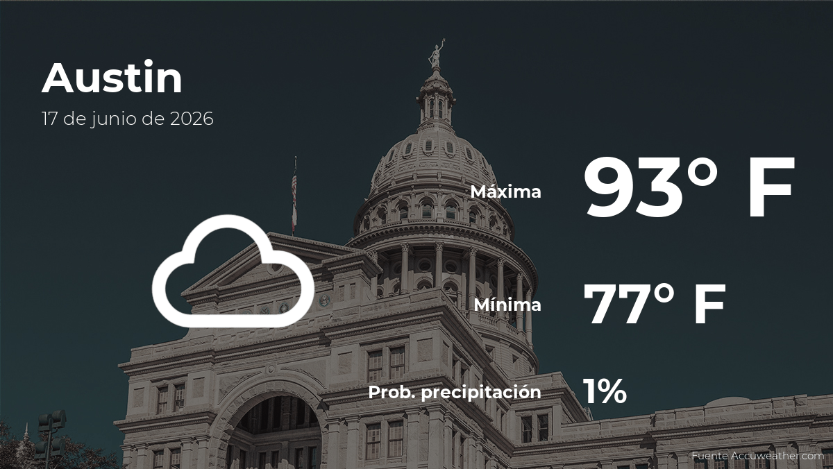
Residents in Austin, Texas, should prepare for a warm mid-week period as meteorologists track a pattern of mostly cloudy skies and high temperatures reaching approximately 93 degrees Fahrenheit (34 degrees Celsius) this Wednesday, June 17. According to the National Weather Service (NWS) office serving the Austin-San Antonio region, the central Texas area is currently under a seasonal weather regime typical for mid-June, characterized by persistent humidity and fluctuating cloud cover that influences daily heat index values.
The forecast for the Austin metropolitan area indicates that while cloud cover will remain prevalent throughout much of the day, the region will still experience significant solar heating. This combination of moisture and temperature is a recurring feature of the Texas summer, with the NWS advising residents to remain aware of heat safety protocols as the mercury climbs toward the low-to-mid 90s. For those working outdoors or planning extended activities, staying hydrated and seeking shaded areas during peak afternoon hours remains the primary recommendation from public health officials.
Understanding the Current Heat Trends in Central Texas
The expected high of 93 degrees Fahrenheit aligns with historical temperature averages for mid-June in Travis County, where daily highs frequently range between 90 and 95 degrees. Meteorological data provided by the National Centers for Environmental Information confirms that June represents the start of the primary heat season for the region, often marked by a transition from spring-time instability to the more settled, high-pressure systems that dominate the summer months.

Cloud cover plays a complex role in the local microclimate. While clouds can temporarily mitigate the intensity of direct solar radiation, they also act to trap surface heat, particularly during the overnight hours. This “blanket effect” often keeps morning low temperatures higher than they would be under clear skies, which in turn allows the daytime high to reach its peak more rapidly. Residents monitoring the weather can access real-time station data through the NWS Austin/San Antonio dashboard, which provides live updates on localized wind speeds, dew points, and humidity levels that contribute to the perceived heat index.
Safety Measures and Heat Mitigation
Exposure to temperatures in the 90s, especially when combined with high humidity, poses a risk of heat-related illnesses if precautions are not taken. The Centers for Disease Control and Prevention (CDC) emphasizes that even in conditions that do not reach record-breaking levels, individuals—particularly those in vulnerable categories such as children, the elderly, and those with pre-existing health conditions—should limit strenuous activity during the late afternoon when temperatures typically peak.
Key safety guidelines for navigating high-heat days include:
- Scheduling outdoor tasks for early morning or late evening hours to avoid the strongest ultraviolet radiation.
- Monitoring for symptoms of heat exhaustion, including dizziness, excessive sweating, and rapid pulse.
- Ensuring that pets and vulnerable individuals are never left in parked vehicles, where temperatures can rise to dangerous levels within minutes.
- Maintaining a consistent intake of water, regardless of the level of thirst, to prevent dehydration.
Regional Outlook and Official Updates
The weather pattern for Austin is expected to remain consistent through the remainder of the week. Forecasters at the NWS continue to monitor the potential for localized atmospheric disturbances that could introduce brief periods of precipitation, though the prevailing trend suggests a continuation of warm, humid conditions. Because weather conditions in central Texas can shift rapidly due to the influence of Gulf of Mexico moisture, local authorities encourage residents to rely on official channels for the most accurate, up-to-the-minute information.

The next scheduled update from the National Weather Service regarding the regional forecast will be issued late Wednesday evening. For those interested in tracking the climate trends for the remainder of the month, the Climate Prediction Center provides long-range outlooks that help in planning for the deeper summer months ahead. We invite our readers to share their local weather observations in the comments section and join the conversation regarding regional climate changes as we progress through the summer season.
Worth a look