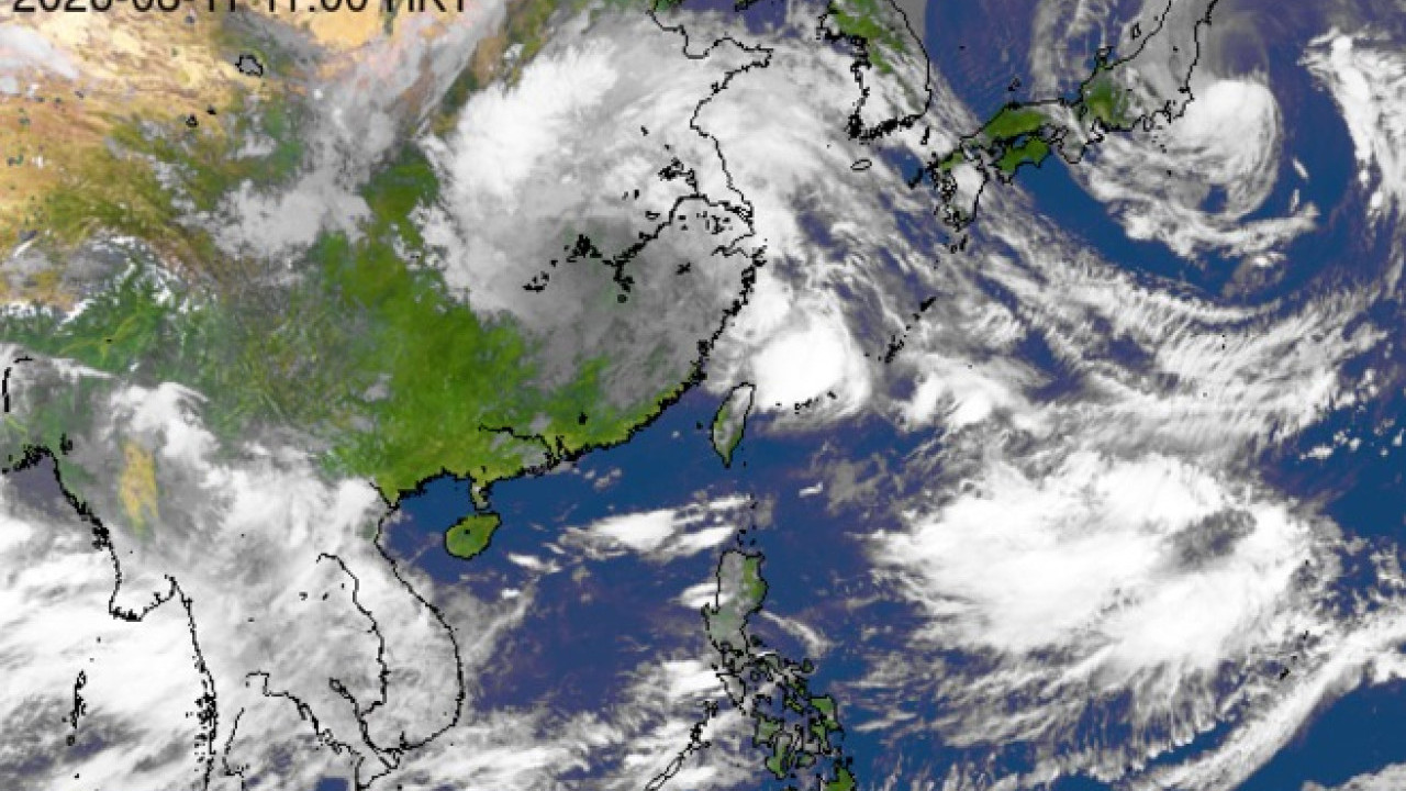
Hong Kong is bracing for a potential tropical cyclone as the Hong Kong Observatory tracks a broad trough of low pressure expected to approach the Guangdong coast by the middle of next week. According to advanced computer forecasting models, including meteorological artificial intelligence systems, a potential storm could form in the South China Sea and approach within 200 kilometers of the city. The region is experiencing severe heat and heightened tropical activity across the Northwest Pacific.
The Observatory noted that an active trough of low pressure will influence the northern part of the South China Sea and the waters east of Taiwan early next week before drifting closer to the coast of Guangdong. Three artificial intelligence weather prediction models—namely Fengwu, Fuxi, and Pangu—have consistently indicated that a tropical system could brew in the South China Sea. If the system intensifies, it may bring stormy weather to the territory, though forecasters emphasize that prediction models still show significant divergence at this stage.
AI Forecasting Models Track Potential South China Sea Storm
According to updated trajectory projections from the Fengwu AI weather model, a tropical system is expected to brew in the South China Sea around August 20. The system could gradually develop between August 21 and August 23, potentially pushing within a 200-kilometer radius of Hong Kong before shifting northwestward toward the Zhanjiang and Yangjiang areas. Simultaneously, the Pangu and Fuxi AI models have also mapped out potential tropical development paths in the region, while the European Centre for Medium-Range Weather Forecasts has not yet picked up the same signals in its current runs.
Meteorologists stress that computer models at this juncture serve strictly as reference tools. The Hong Kong Observatory has advised residents to monitor official bulletins closely as the situation evolves. Meanwhile, the broader Northwest Pacific remains in an active tropical cyclone phase. Weather observers note that multiple systems, including existing typhoons in the wider region and potential low-pressure areas, are currently interacting under the influence of monsoon troughs—a pattern which Taiwan weather expert Lin De-en says is consistent with the characteristics of an “El Niño development year”.
Extreme Heat Persists Across Hong Kong Amid Regional Instability
While forecasters monitor potential storm tracks, local weather conditions remain intensely hot. The Observatory reports that an incoming southwest airstream will continue to affect the Guangdong coast over the coming days, keeping temperatures high alongside occasional squally showers. An upper-air disturbance is expected to bring increased shower activity and atmospheric instability to the wider South China region on Friday and Saturday.
The persistent heatwave has also heightened public focus on urban infrastructure and daily commuting conditions. Public transport passengers across the city have recently taken to social media platforms to voice frustrations regarding cabin temperatures on KMB buses, citing inadequate air conditioning. Transport operators continue to face scrutiny over fleet climate control systems as high ambient temperatures grip the territory.
Next Official Weather Updates and Safety Preparations
The Hong Kong Observatory issues regular regional weather updates and tropical cyclone warning bulletins via its official website and mobile application. Residents and travelers planning outdoor activities or regional transport itineraries over the coming week are encouraged to check the latest forecasts directly through the Observatory’s official channels. Further updates regarding the trough of low pressure and potential South China Sea developments will be published as computer forecast models align closer to the effective dates.