
New Zealand functions as a geological cheat code because of its unique position straddling the boundary of the Indo-Australian and Pacific tectonic plates, creating a diverse landscape that features active volcanic zones, geothermal activity, and dramatic alpine ranges within a compact landmass. According to GNS Science, the nation’s location on the “Ring of Fire” facilitates constant crustal movement, which has shaped the country’s physical geography over millions of years.
This geological activity is not merely a feature of the distant past; it remains a defining characteristic of the country’s modern environment. The interaction between these massive tectonic plates results in the ongoing uplift of the Southern Alps and the widespread volcanic systems found in the North Island, such as the Taupō Volcanic Zone. By understanding these processes, researchers gain insights into global plate tectonics that are rarely as visible or as accessible as they are in the New Zealand archipelago.
The Mechanics of Plate Tectonics in New Zealand
New Zealand’s status as a geological anomaly stems from the specific way the Indo-Australian and Pacific plates collide. In the South Island, these plates push against each other, forcing the earth upward to create the Southern Alps, while in the North Island, one plate slides beneath the other—a process known as subduction—which fuels the country’s extensive volcanic activity. The Ministry for Culture and Heritage notes that this complex boundary is responsible for the rapid rate of geological change observed across the two main islands.
The Southern Alps are rising at a rate of approximately 10 millimeters per year in some areas, though this is heavily offset by erosion caused by high rainfall and glacial movement. This dynamic tension ensures that the landscape remains in a state of constant, measurable evolution. For geologists, this provides a rare, real-time laboratory for observing how mountain ranges are built and subsequently weathered, a process that usually spans tens of millions of years in more stable continental interiors.
Geothermal Energy and Volcanic Systems
The volcanic activity in the North Island provides more than just a striking landscape; it serves as a significant source of sustainable energy. The Taupō Volcanic Zone is one of the most active geothermal areas in the world. According to data from the Ministry of Business, Innovation and Employment, geothermal power plants generate roughly 17% of New Zealand’s total electricity supply. This reliance on natural heat reservoirs highlights how the country’s geological “cheat code” has been harnessed for economic and environmental benefit.
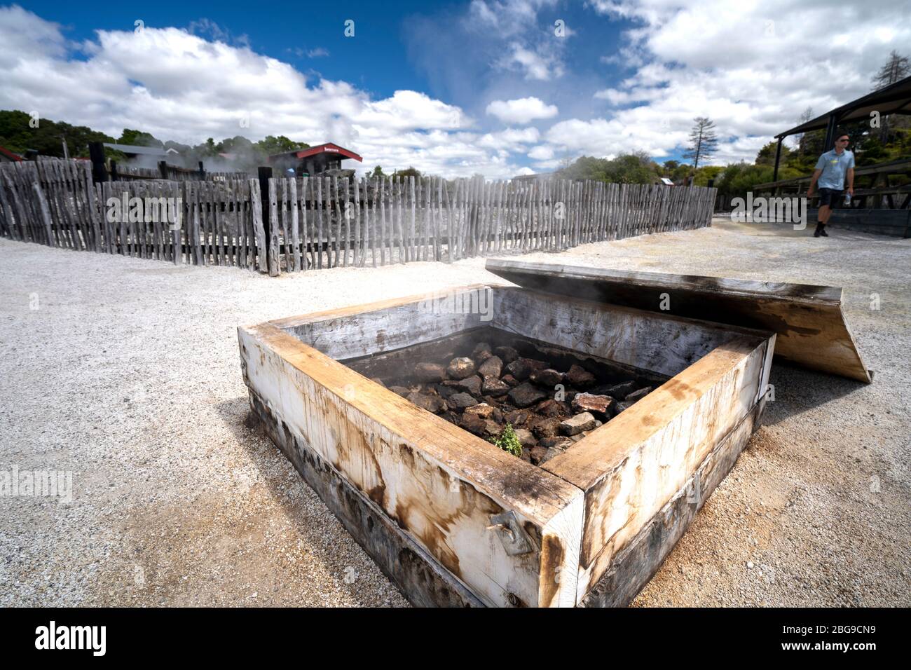
The surface manifestations of this heat—such as geysers, hot springs, and bubbling mud pools—are not only tourist attractions but also critical indicators of the shallow magma chambers located beneath the surface. These systems are monitored closely by agencies like GeoNet, which provides real-time tracking of seismic and volcanic activity to ensure public safety. The integration of high-tech monitoring with a highly active geological environment allows New Zealand to lead in fields like geothermal engineering and disaster resilience research.
Why New Zealand’s Landscape Matters Globally
The study of New Zealand’s geography offers a window into the mechanics of the entire planet. Because the country is essentially a submerged continent—often referred to as Te Riu-a-Māui or Zealandia—it provides a unique perspective on continental breakup and plate motion. A 2017 study published in the journal GSA Today classified Zealandia as a distinct geological continent, arguing that its submerged state does not diminish its status as a coherent, elevated crustal mass.
This recognition has shifted how scientists perceive the distribution of landmasses on Earth. By studying the rocks and fossils found throughout the North and South Islands, researchers have been able to reconstruct the history of the breakup of the supercontinent Gondwana. The geological diversity found within such a relatively small area allows for comparative studies that would require traveling across entire continents elsewhere in the world. This concentration of geological phenomena is why the region remains a primary focus for international earth science research.
The next major update regarding seismic monitoring and volcanic hazard assessments in the Taupō Volcanic Zone will be provided by GeoNet in their routine quarterly reports. Readers interested in the latest geological developments are encouraged to monitor official government releases and share their thoughts on the country’s unique natural history in the comments section below.
Worth a look