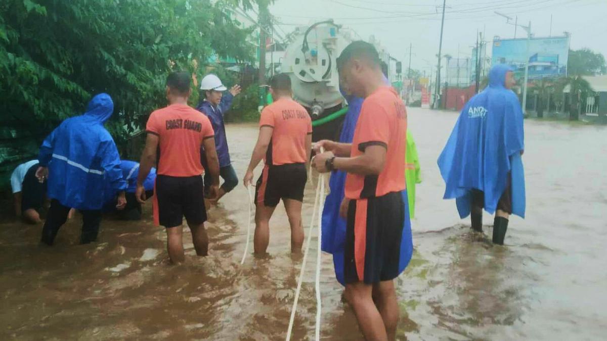
Typhoon Matmo Intensifies, Prompts Mass Evacuations in Southern China
Typhoon Matmo is rapidly gaining strength as it approaches the Chinese coast.authorities are bracing for impact and have initiated widespread evacuations to protect residents. This article provides the latest updates on the storm’s trajectory, intensity, and the measures being taken to ensure public safety.
Current Status & Forecast
Currently, Matmo packs maximum sustained winds of 151 kilometers per hour (94 miles per hour). It’s expected to make landfall around midday today, October 5, 2025, in southern China.China’s National Meteorological Center has issued a red-level typhoon warning – the highest in their alert system – signaling the severity of the threat.
The storm’s path isn’t limited to Guangdong province. It’s forecast to move westward and then northward, impacting northern Vietnam and China’s Yunnan province in the coming days.You can expect continued updates as the situation evolves.
Evacuations and Preparations
Guangdong province is taking the brunt of the preparation efforts. Over 151,000 residents have already been evacuated from vulnerable areas.This proactive measure aims to minimize potential casualties and damage.
Hainan province,also in the storm’s projected path,is not taking any chances. Here’s a breakdown of the preventative actions taken:
* All flights have been cancelled.
* Public transportation services have been suspended.
* Businesses have been temporarily closed.
* Thes measures began on Saturday, October 4, 2025, to allow ample time for preparation.
Even Macau, though not directly in the storm’s path, has suspended classes and tutoring sessions due to the anticipated adverse weather conditions. These decisions prioritize the safety of students and educators.
Rainfall and Potential Impacts
Heavy rainfall is a critically importent concern alongside the strong winds. Authorities are warning that some areas could recieve between 100 to 249 millimeters (3.93 to 9.8 inches) of rain. This level of precipitation raises the risk of:
* Flash flooding: Particularly in low-lying areas and urban centers.
* Landslides: Especially in mountainous regions.
* Disruptions to infrastructure: Including transportation, power, and dialog networks.
It’s crucial for you to stay informed about local weather alerts and heed the advice of emergency officials.
Staying Safe During the typhoon
If you are in an affected area, remember these key safety tips:
* Secure your property: Bring loose objects indoors, reinforce windows and doors.
* Stay indoors: Avoid venturing outside during the storm.
* Monitor updates: Keep track of the latest forecasts and warnings from reliable sources.
* Prepare an emergency kit: Include essentials like food, water, medication, and a flashlight.
* Follow evacuation orders: If authorities instruct you to evacuate, do so immediately.
This is a developing situation,and we will continue to provide updates as they become available. Your safety is paramount, so please prioritize preparedness and follow the guidance of local authorities.


