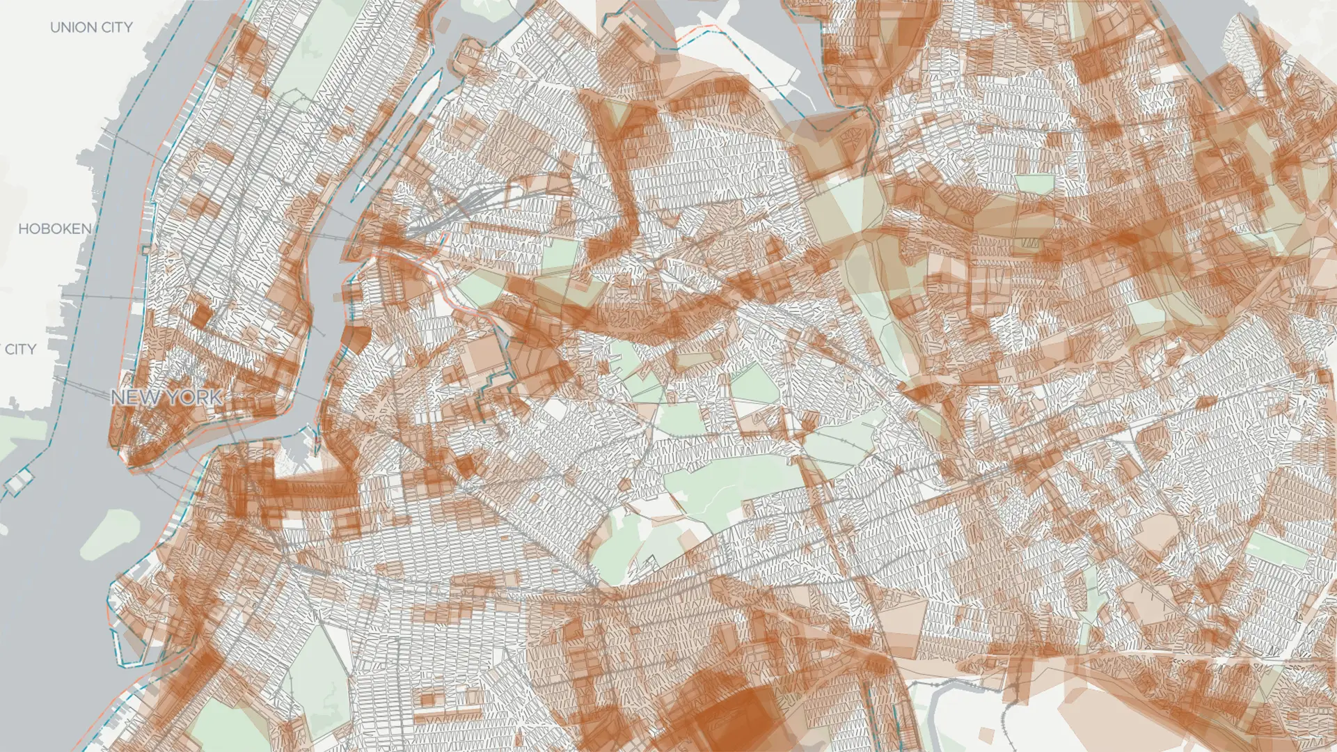
New York City’s Century-Old Map is Getting a Digital Upgrade: What It Means for Growth, Resilience, and the Future of the City
For generations, navigating the complexities of New York City’s built environment has relied on a surprisingly analog system: a patchwork of paper maps, meticulously maintained in five borough offices. These aren’t just historical artifacts; they are the official record of streets, property lines, and zoning regulations – and a significant bottleneck for everything from housing development too critical infrastructure projects. Now, New York City is embarking on a monumental undertaking to unify and digitize these maps, a modernization effort poised to reshape how the city plans, builds, and adapts to the challenges of the 21st century.
This isn’t simply about convenience; it’s about unlocking efficiency, fostering openness, and building a more resilient future. This article delves into the details of this aspiring project, exploring its implications for developers, city planners, and all New Yorkers.
The Problem with Paper: A system Ripe for Disruption
the current system is, frankly, cumbersome.Any change to a street’s designation – its width, its grade, even its very existence – requires a manual process. Imagine needing to confirm a property line or understand historical changes to a street layout. Currently, that means physically visiting a borough map office, sifting through perhaps hundreds of paper maps, and verifying the information.
“Those functions can take months or years because they require going to each individual borough map office, finding the right paper fragment, confirming what it looks like, and changing what it looks like,” explains a city official involved in the project. “There are frequently long queues at those borough offices to do those sorts of things. That adds, again, months or years to the process of building significant infrastructure and housing.”
This inefficiency isn’t just frustrating; it’s a significant drag on the city’s economic development and its ability to respond to urgent needs. A streamlined, digital map promises to dramatically accelerate these processes, freeing up resources and enabling faster progress on vital projects.
A Unified Digital Map: What Will It Look Like?
The vision is a single, authoritative digital map of New York City, accessible to city agencies, developers, and eventually, the public. But creating this map is a complex undertaking. It involves unifying records from five separate borough offices, confirming the accuracy of decades – even centuries - of data, and officially designating the new digital version as the city’s official record. This last step requires a formal zoning action, adding another layer of complexity to the timeline.
While the project is ambitious, the core design principles are clear:
* Clarity of street and Property Lines: The digital map will prioritize precise and unambiguous delineation of streets and property boundaries.
* Accurate Street Widths: Essential for planning and construction,accurate street width data will be a key feature.
* Historical Transparency: The map will incorporate overlays showing changes made over time, allowing users to visualize how the city has evolved. This historical viewpoint is crucial for understanding current conditions and planning for the future.
Beyond Efficiency: Addressing “Paper Streets” and Climate Change
the benefits of a unified digital map extend beyond simply speeding up bureaucratic processes. The project will also address a unique quirk of New York City’s mapping history: “paper streets.” These are streets that appear on the official map but don’t actually exist in the physical world.
“New York City actually has a number of what are called paper streets that are streets that exist on the city map today but are not real streets in real life,” explains a city representative. Resolving these discrepancies – either by officially removing the paper street or bringing it into reality - will unlock land for development and streamline construction projects.
Perhaps even more critically, the digital map will be a vital tool in addressing the challenges of climate change. New York City’s 520 miles of waterfront are constantly evolving due to rising sea levels and changing weather patterns.
“Particularly as the climate has changed, waterfront borders have changed,” notes a city planner. “This proposal might make a big difference… either in development or resiliency efforts, where the paper maps when they were created genuinely do not reflect where the actual waterfront border is today.” An accurate, up-to-date digital map will be essential for informed decision-making regarding coastal development, infrastructure protection, and climate adaptation strategies.
The Challenges Ahead: Balancing Preservation with Progress
The sheer scale of the project presents significant challenges. Unifying and digitizing thousands of paper maps is a monumental task, requiring a dedicated effort from city
- Oura Ring 5 Review: Is the Smaller Design Worth the Higher Price?
- Inflation Fears Surge: Bond Yields Hit Multi-Year Highs as Oil and Geopolitical Risks Pressure Markets
- Xenoblade Chronicles 2 Switch 2 Edition: Enhanced Features and Larger Download (world-today-news.com)
- The Impact of Electric Utility Shut-Offs on Vulnerable Families (newsdirectory3.com)