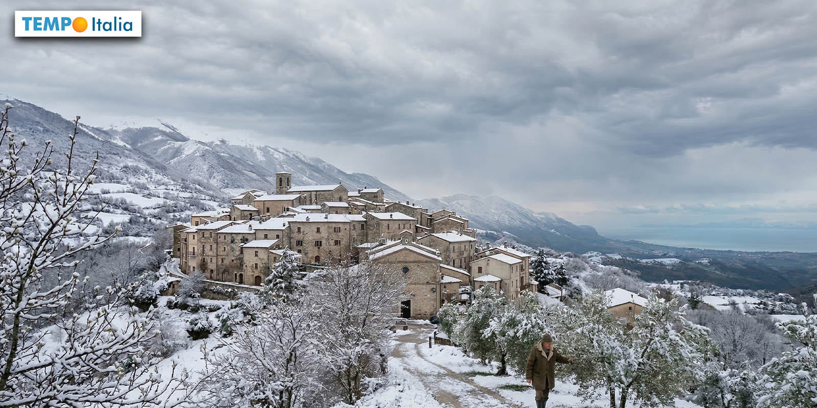
The arrival of spring in Italy is facing an unexpected twist, as a significant shift in weather patterns threatens to bring a return to colder temperatures, potentially extending into the Easter period. A disruption of the polar vortex is cited as the primary driver of this change, promising a stark contrast to the milder conditions previously anticipated. This development has prompted meteorologists to closely monitor the situation, with implications for agriculture, tourism, and daily life across the country.
Although March is known for its unpredictable weather, the speed and intensity of this shift are raising eyebrows. Recent analysis of meteorological models confirms a substantial atmospheric disturbance that is reshaping the month and casting a shadow over the Easter holidays. The breakdown, or “split,” of the polar vortex has led to the consolidation of a high-pressure block, disrupting the usual westerly airflow and paving the way for Arctic air to descend upon Southern Europe. Italy, in particular, appears to be directly in the path of this incoming cold front.
The current situation differs from previous attempts at cold air incursions into the Mediterranean region, which often failed to fully materialize, leaving Italy largely unaffected. This time, still, the high-pressure barrier has positioned itself just north of the Alps, creating a clear pathway for Arctic air to flow directly into the central Mediterranean basin. This positioning makes Italy a primary target for this cold air mass, a change already being felt with a noticeable drop in temperatures over the weekend.
The Dynamics Behind the Polar Vortex Split
The polar vortex is a large area of low pressure and cold air surrounding both of the Earth’s poles. When it weakens or “splits,” it can send frigid air southward. According to the European Centre for Medium-Range Weather Forecasts (ECMWF), the recent split has created a blocking high-pressure system over Northern Europe, diverting the usual westerly winds and allowing Arctic air to plunge south. 3bmeteo.com reports that this is a typical pattern for dynamic springs, with Northern Europe remaining stable and mild while Southern Europe experiences more frequent instability.
The cooling trend is expected to intensify mid-week with the arrival of an Arctic-continental air mass, triggering significantly negative temperature anomalies across the entire nation. The trajectory of this air mass suggests a greater impact on the central and southern regions of Italy, particularly along the Adriatic coast. This is due to the positioning of the high-pressure system, which is channeling the cold air directly into this area. The potential for increased precipitation, including snowfall, is also heightened in these regions.
Impact on Central and Southern Italy: Potential for Snowfall
International weather forecasting centers suggest that this cold surge will contribute to the formation of a secondary cyclonic vortex, fueled by the strong thermal contrast over the Italian seas. This could lead to locally intense weather phenomena, including widespread snowfall along the Apennine mountain range. Il Tempo reports that these snowfalls, sustained by low temperatures, could extend down to lower elevations.
Current projections indicate that snow levels could reach altitudes as low as 800 meters, with some valleys potentially experiencing snowfall at 500 meters. While such snowfall is not entirely unusual for mid-March, it is considered remarkable given the almost complete absence of cold weather during the preceding months. The polar vortex had appeared close to collapse on several occasions, but its eventual breakdown occurred at a seasonally unfavorable time for extreme cold. However, this is the scenario currently unfolding, and authorities are preparing for potential disruptions.
The impact of this cold snap will be felt differently across the country. While the northern regions, shielded by the Alps, may experience less severe conditions, the central and southern areas are bracing for a significant drop in temperatures and the possibility of heavy snowfall. Coastal areas along the Adriatic Sea are particularly vulnerable, with forecasts predicting strong winds and rough seas in addition to the cold temperatures. Agricultural regions are also on alert, as frost could damage early-season crops.
The potential for snowfall at lower altitudes raises concerns about transportation disruptions, particularly in hilly and mountainous areas. Local authorities are preparing to deploy snow removal equipment and issue travel advisories as needed. Residents are advised to grab precautions to protect themselves from the cold, including dressing warmly, securing outdoor objects, and ensuring adequate heating in their homes.
Looking ahead, the situation remains fluid. Weather models are constantly being updated, and the exact timing and intensity of the cold front could change. However, the overall trend suggests that Italy is facing a period of unsettled weather, with the possibility of prolonged cold conditions extending into the Easter period. The coming days will be crucial in determining the full extent of this Arctic outbreak and its impact on the country.
Key Takeaways
- A polar vortex split is driving a significant cold air mass towards Italy.
- The central and southern regions, particularly along the Adriatic coast, are expected to be most affected.
- Snowfall is possible at altitudes as low as 500 meters in some areas.
- The cold weather could persist through the Easter period.
- Residents are advised to take precautions to protect themselves from the cold.
The Italian Civil Protection Department is expected to release updated weather advisories and preparedness guidelines in the coming days. Stay informed about the latest developments by visiting their official website: https://www.protezionecivile.gov.it/. As the situation evolves, continued monitoring of weather forecasts and adherence to local authorities’ recommendations will be crucial for ensuring safety and minimizing disruptions.
We encourage readers to share their experiences and observations in the comments below. Your insights can facilitate others prepare for the changing weather conditions. Please also share this article with your friends and family to help spread awareness about the potential impacts of this unusual March cold snap.
Related reading