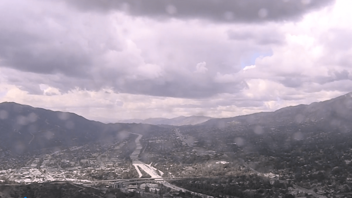
Residents across the region are closely monitoring the Southern California rain timeline as two distinct storm systems move through the area this weekend. While the initial phase of the weather event has begun, meteorologists warn that the more significant impacts are expected to arrive as the weekend progresses.
The first of the two systems arrived late Friday night, bringing initial moisture to various parts of the region. According to Meteorologist Melissa Magee, this early activity served as a precursor to steadier rain, though the National Weather Service (NWS) indicated that this first system would have a relatively limited impact on the broader Southern California area.
As of Saturday, the weather remains transitional. Forecasts call for mostly cloudy skies punctuated by occasional pops of sun, with isolated and stray showers expected to persist into Saturday night and Sunday. Though, this lull is temporary, as a second, more potent storm system is slated to arrive late Saturday into Sunday, bringing the prospect of heavy showers to the region.
The Weekend Storm Sequence and Rain Timeline
The progression of these storm systems indicates a shift from mild moisture to more intense precipitation. While Saturday’s conditions are characterized by instability and intermittent clouds, the arrival of the second system will mark a significant increase in rainfall intensity.
For those tracking the Southern California rain timeline, the transition from the first to the second system is the critical window. The NWS expects the second system to be considerably stronger, increasing the likelihood of widespread heavy showers that could impact travel and outdoor activities through Sunday.
| Timeframe | Expected Conditions | Intensity/Impact |
|---|---|---|
| Friday Night | Initial moisture arrival | Low impact |
| Saturday | Mostly cloudy, pops of sun, stray showers | Isolated/Low |
| Saturday Night – Sunday | Second storm system arrival | High (Heavy showers) |
| Sunday Night – Monday | Thunderstorms and snow (high elevation) | Moderate to High |
Mountain Hazards and Winter Weather Advisories
The most severe conditions are expected in the higher elevations and desert regions. The National Weather Service has issued a Winter Weather Advisory for mountain areas above 5,000 feet. In these zones, snowfall totals could reach up to 6 inches at the highest elevations, with lighter accumulations expected at lower levels.
Specific regions, such as Big Bear, may observe approximately one inch of spring snow. Meteorologist Melissa Magee notes that gusty thunderstorms and snow are likely above 6,000 feet as the weather pattern shifts from Sunday night into Monday.
Wind remains a primary concern for those in the mountains and deserts. The NWS predicts windy conditions throughout the weekend, with gusts ranging between 25 and 45 mph. These winds, combined with heavy precipitation, may create hazardous conditions for motorists and hikers in high-altitude terrain.
Temperature Outlook and Recovery
The arrival of these storm systems is accompanied by a dip in temperatures. Forecasters indicate that temperatures will remain below normal through the beginning of next week, extending the cool period into Monday and Tuesday.
A warming trend is expected to begin by midweek, bringing temperatures back toward seasonal norms. Until then, residents are encouraged to prepare for a damp and chilly weekend, particularly those traveling toward the mountain passes where the Winter Weather Advisory remains in effect.
The next confirmed checkpoint for weather updates will be the National Weather Service’s updated regional forecast issued Sunday morning, which will provide more precise rainfall totals and snow accumulation estimates for the mountain communities.
We invite our readers to share their local weather observations in the comments below and share this update with others in the affected regions.
Related reading
- Les Enfants d’abord! Comedy at Comédie CDN de Reims (March 6, 2027)
- Illegal Immigrant Sentenced to Prison for Deadly Southern California Semitruck Crash
- The Five Star Weekend: How the Peacock Series Fails the Novel’s Themes of Forgiveness (archynewsy.com)
- Explore Southern New Mexico 2025 (news-usa.today)