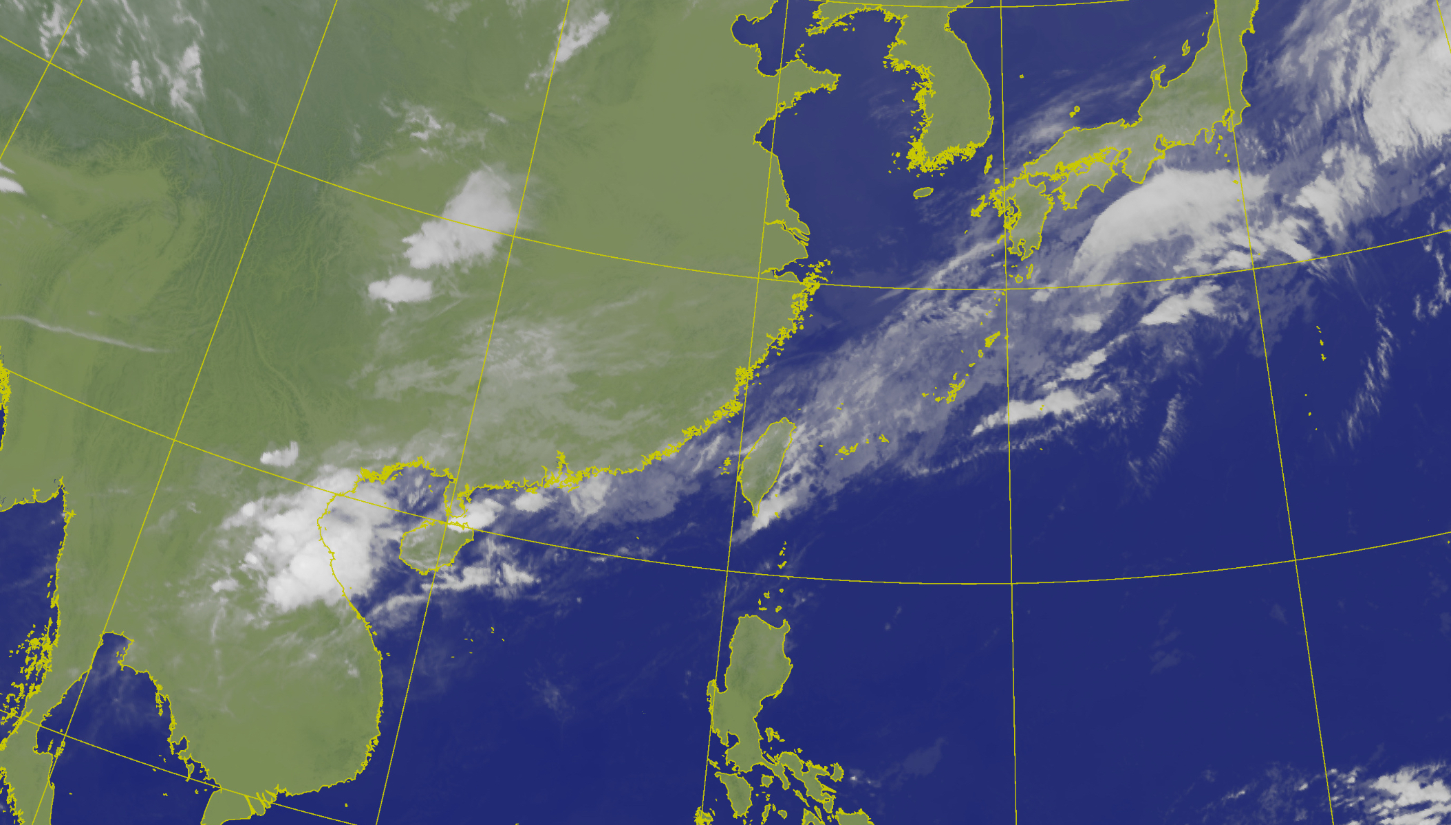
Weather experts in Taiwan are advising the public to prepare for a drop in temperatures and increased chances of thunderstorms, with conditions expected to shift significantly over the coming days. According to meteorological forecasts, a cold front moving southward across the island will bring cooler air, particularly to northern regions, while enhancing the likelihood of localized thunderstorms and heavy rainfall in certain areas.
The Central Weather Administration has issued alerts for potential heavy rain and thunderstorms, urging residents to remain vigilant against sudden downpours and lightning risks. Authorities have emphasized the importance of monitoring official weather updates, especially in mountainous and eastern regions where isolated but intense rainfall could lead to hazards such as localized flooding or reduced visibility.
Despite the current cooling trend and shower activity, forecasts indicate a gradual warming trend early next week, with temperatures expected to rise again by Monday as the influence of the front weakens and more stable air returns. This transition highlights the typical variability of spring weather patterns in Taiwan, where rapid shifts between cool, wet conditions and warmer, drier spells are common during seasonal changes.
Forecast Details and Expert Analysis
Meteorologist Wu Te-rong, a former director of the Central Weather Bureau’s forecast center and current adjunct professor at National Central University, explained that the recent drop in temperatures is due to the southward movement of a continental cold air mass. He noted that while the northern parts of Taiwan will experience more noticeable cooling, southern and eastern areas may notice milder changes, with daytime temperatures remaining relatively warm despite increased cloud cover and shower activity.
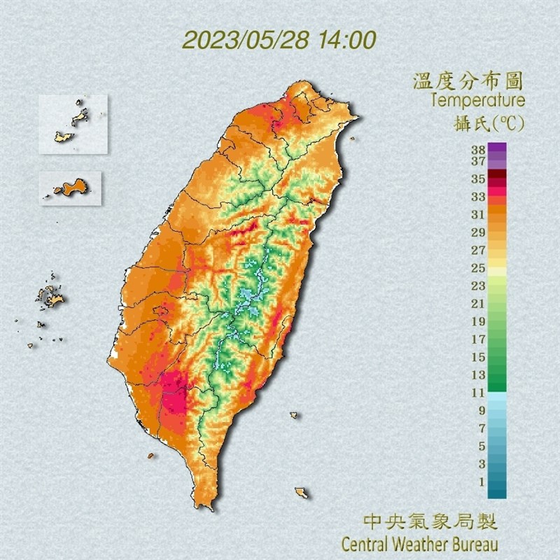
Wu added that the period from April 22 to 23 will see a slight increase in moisture levels, leading to partly cloudy skies across most of the island, with isolated afternoon showers possible in mountainous regions. However, starting April 24, the approaching front is expected to trigger scattered thunderstorms from north to south, with rainfall coverage expanding by April 25 as the system lingers over the island.
He further stated that temperatures will decline noticeably on April 24 and 25, particularly in the north, where the shift to cooler conditions will be more pronounced. By April 26 and 27, the front is expected to move away, allowing weather conditions to stabilize and temperatures to rise again. Another front may approach around April 28, potentially bringing renewed changes in weather patterns.
Public Safety and Preparedness Measures
In response to the forecast, local authorities in several counties and cities have activated precautionary measures, including readiness protocols for drainage systems and emergency response teams. The Central Weather Administration has also issued marine warnings for strong swells along the northeastern coast, eastern Taiwan (including Green Island and Orchid Island) and the Hengchun Peninsula, with wave heights already observed at 1.5 to 2 meters in areas such as Suao in Yilan and Lanyu in Taitung.
Residents are advised to secure loose outdoor objects, avoid unnecessary travel during peak rainfall periods, and stay informed through official channels such as the Central Weather Administration’s website and emergency alert systems. Special attention is being urged for communities in flood-prone zones and areas prone to landslides, where saturated soil could increase risks during prolonged or intense rainfall.
Longer-Term Outlook and Climate Context
While the immediate forecast focuses on short-term fluctuations, experts note that such variability is consistent with Taiwan’s subtropical monsoon climate, where spring months often experience frequent frontal passages and convective activity. The interaction between weakening winter monsoons and the early onset of summer atmospheric patterns contributes to the unpredictable nature of April and May weather.

Officials continue to monitor numerical weather prediction models from international centers, acknowledging that forecast accuracy remains subject to change as recent data emerges. They encourage the public to rely on verified sources for updates and to refrain from acting on unconfirmed reports or social media speculation.
As the weather situation evolves, the next key checkpoint will be the Central Weather Administration’s scheduled update for the weekend period, expected to be released on Friday afternoon. This update will provide refined details on rainfall timing, temperature trends, and any adjustments to active weather warnings.
For ongoing coverage of weather developments and public safety advisories, readers are encouraged to consult official meteorological services and share verified information to help keep communities informed and prepared.
Keep reading
- VfL Wolfsburg vs. 1. FC Köln: TV Channel & Live Stream Guide
- UPI Transaction Charges: Government Clarifies No Fees for Users, MDR Possible for High-Value Merchant Payments
- Climate Change and Heatwaves: Rising Risks of Infectious Diseases and Waterborne Bacteria (newsdirectory3.com)
- iPhone 17 Prices May Increase as Early as Monday, Rumors Suggest (time.news)