The Czech Republic is bracing for a period of tropical heat with temperatures expected to peak at 35°C (95°F) before a transition to severe thunderstorms and heavy hail. According to regional meteorological reports, these extreme conditions will primarily affect Central and Northwest Bohemia through the end of the week.
Meteorologists indicate that the current heatwave is not expected to subside immediately. Instead, the region will face sustained temperatures exceeding 30°C (86°F) daily. This period of intense heat is forecasted to be interrupted by volatile weather systems in the latter half of the week, bringing the risk of flash flooding and damaging wind gusts.
How high will temperatures rise in the Czech Republic?
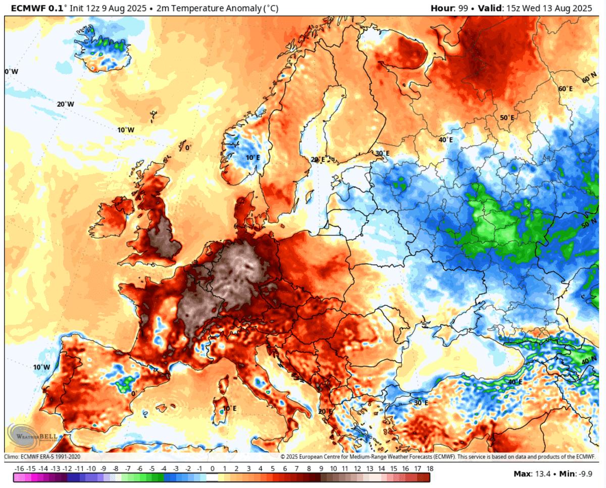
Temperatures across much of the country are projected to climb toward the 35°C mark. This upward trend is particularly concentrated in the central and northwestern regions of Bohemia. Local weather monitoring indicates that these high temperatures will persist through Saturday, creating a prolonged period of thermal stress for both residents and local ecosystems.
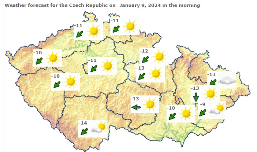
The heat is characterized by “tropical” conditions, where daytime highs remain consistently above 30°C. This pattern is driven by high-pressure systems that have settled over Central Europe, trapping warm air and preventing significant cooling during the night. Residents in the affected areas of Central Bohemia should prepare for sustained heat that may impact daily activities and public health.
For real-time updates on temperature fluctuations and localized heat warnings, the Czech Hydrometeorological Institute (CHMI) provides the most authoritative data and official meteorological alerts for the region.
What kind of storm activity is expected?
As the heatwave reaches its peak, atmospheric instability is expected to trigger severe convective storms. These storms are predicted to bring heavy downpours, significant wind gusts, and hail. Reports from local news outlets have already highlighted the volatility of these weather patterns, noting instances where hail exceeding 2 centimeters in diameter has fallen in various districts.
The transition from extreme heat to severe storms is a common meteorological phenomenon. Intense solar heating of the earth’s surface creates rising columns of warm, moist air. As this air rises and cools, it forms massive cumulonimbus clouds, which can result in sudden, violent thunderstorms. These storms often produce “microbursts” or intense localized rainfall that can overwhelm drainage systems in a matter of minutes.
The risk of hail is a significant concern for both agriculture and property. Hailstones larger than 2 centimeters can cause substantial damage to crops, vehicles, and roofing materials. Local authorities have advised citizens to monitor weather radar closely as these storm fronts approach.
How are current weather events impacting local communities?
Recent reports have documented the immediate physical impact of these weather shifts. In some areas, heavy rainfall and flooding have already caused localized emergencies. Reports from CNN Prima NEWS and local media outlets describe incidents where rising floodwaters trapped individuals in outdoor structures, such as gazebos, necessitating emergency responses.
The combination of high winds and heavy rain has also led to reports of broken trees and debris blocking local roads. In certain regions, the intensity of the downpours has been described as “torrents,” leading to rapid accumulation of water in low-lying areas. These incidents underscore the danger of the current weather transition, where the environment shifts rapidly from extreme dryness and heat to high-moisture, high-wind conditions.
Emergency services remain on alert to handle potential calls related to:
- Flash flooding in urban and rural areas.
- Property damage caused by falling trees or hail.
- Heat-related medical emergencies.
Why does this weather pattern matter for public safety?
The shift from a heatwave to severe storms presents a dual threat to public safety. First, the extreme heat poses a direct risk of heatstroke and dehydration, particularly for vulnerable populations such as the elderly, children, and those with pre-existing health conditions. Second, the subsequent storms introduce risks of physical injury from flying debris, lightning, and sudden flooding.
Meteorologists suggest that the most dangerous period occurs during the “breaking” of the heatwave, when the atmosphere is most unstable. During these windows, storms can develop with very little warning. The ability to react to sudden changes in weather is critical for minimizing risk during these transitions.
To prepare for the upcoming weather, authorities recommend the following:
- During Heat: Maintain hydration, avoid direct sun exposure during peak hours (12:00 PM to 4:00 PM), and ensure adequate ventilation in living spaces.
- During Storms: Seek sturdy indoor shelter immediately when thunder is heard, avoid standing under trees or near power lines, and move vehicles away from areas prone to flooding.
- For Property: Secure loose outdoor items that could become projectiles in high winds.
Comparison of Weather Risks
| Weather Condition | Primary Risk Factor | Affected Regions | Expected Intensity |
|---|---|---|---|
| Tropical Heat | Heatstroke & Dehydration | Central & NW Bohemia | High (Up to 35°C) |
| Heavy Rain | Flash Flooding | Nationwide (localized) | High (Torrential) |
| Hail | Property & Crop Damage | Localized storm paths | Moderate to High (>2cm) |
| Wind/Storms | Structural/Tree Damage | Widespread during fronts | High (Severe gusts) |
The next scheduled meteorological update from the Czech Hydrometeorological Institute will provide specific timing for the arrival of the storm fronts. Residents are encouraged to stay tuned to official government channels for any formal weather warnings or emergency instructions.
What are your experiences with the recent weather in your area? Please share your reports and stay safe by commenting below and sharing this update with your community.
- Cheap Flights from Birmingham to Lodz | Book Now on Traveloka
- Senate Passes Stopgap Funding Bill to Avert Government Shutdown Through December
- Italy Weather Forecast: Extreme Heatwave to Continue Until Mid-August (world-today-news.com)
- Russian Saboteurs Recruit Pro-Russian Telegram Users to Burn Cars in Czechia (newsdirectory3.com)