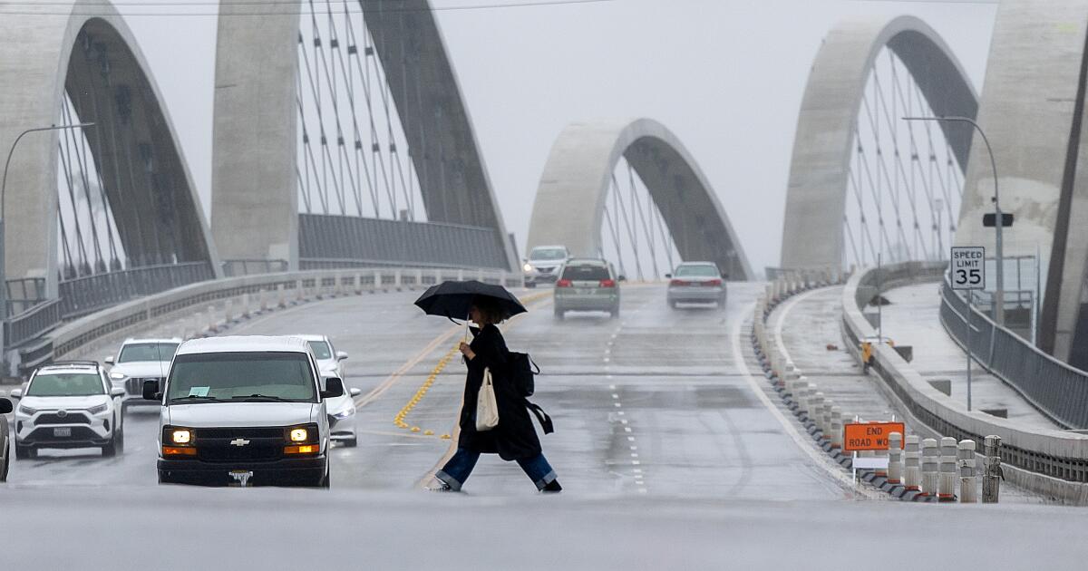
Federal climate scientists have confirmed that a strong El Niño event is currently underway, with high probability that it will persist into the spring. According to the National Oceanic and Atmospheric Administration (NOAA), this periodic warming of ocean surface temperatures in the central and eastern Pacific is exerting a significant influence on global weather patterns, including increased precipitation risks for California.
Understanding the Current El Niño Climate Cycle
El Niño is a naturally occurring climate phenomenon characterized by warmer-than-average sea surface temperatures in the equatorial Pacific Ocean. This shift disrupts traditional atmospheric circulation, often altering the position of the jet stream. Data from the National Weather Service (NWS) indicates that the current event has reached a mature phase, with enough intensity to qualify as a strong-to-significant episode. Unlike weaker events, a strong El Niño frequently forces the subtropical jet stream further south, which often directs moisture-laden storms toward the southern United States and California.

Meteorologists track these conditions by monitoring the Oceanic Niño Index (ONI), which measures deviations from average temperatures in the Niño 3.4 region of the Pacific. When these temperatures remain at least 1.5 degrees Celsius above average for consecutive seasons, the event is categorized as a strong El Niño. The Climate Prediction Center continues to monitor these metrics to assess the duration of the current cycle, noting that the transition back to neutral conditions typically occurs during the Northern Hemisphere spring.
Regional Impact on California Precipitation
For California, the primary concern during a strong El Niño is the potential for increased winter rainfall. Historically, years with significant Pacific warming have correlated with higher-than-average precipitation in Southern California. However, climate researchers emphasize that El Niño is not a guarantee of specific weather outcomes for every part of the state.

The state’s infrastructure, particularly in flood-prone zones and areas recovering from recent wildfire seasons, remains under observation. Increased saturation of soil during a strong El Niño can heighten the risk of debris flows and landslides. Residents in high-risk areas are encouraged to consult local emergency management resources, such as the Ready.gov portal or local county flood control district bulletins, to prepare for potential heavy rainfall events.
Broader Meteorological Context and Future Projections
While the current El Niño is a major driver of seasonal weather, it is occurring against the backdrop of a changing global climate. Scientific organizations, including the World Meteorological Organization (WMO), have noted that the interaction between El Niño and long-term temperature trends can lead to record-breaking heat levels in specific months. The combination of these factors makes seasonal forecasting more complex, as the traditional “typical” El Niño winter is being influenced by broader environmental shifts.

The persistence of the current event through the spring of 2024 remains the focus of ongoing modeling efforts. Forecasters at the National Centers for Environmental Information provide monthly updates on the status of the Pacific oscillation. These updates serve as the primary source for regional water managers and agricultural planners who must adjust their resource allocation based on the anticipated wet or dry cycles associated with the Pacific temperature deviations.
Preparing for Seasonal Variability
Official guidance from state and federal agencies suggests that the most effective preparation for El Niño-driven weather involves monitoring short-term forecasts rather than relying solely on seasonal averages. Because the intensity of the jet stream’s shift can change on a weekly basis, the National Weather Service urges residents to sign up for local wireless emergency alerts and to review flood insurance policies well in advance of the peak storm season.

The next official update regarding the status and projected dissipation of the current El Niño cycle is expected from the Climate Prediction Center in the coming month. Interested readers can track the latest developments through the official Climate.gov dashboard, which publishes real-time data on ocean temperatures and atmospheric indices. Please feel free to share your thoughts on how your local community is preparing for these climate shifts in the comments section below.