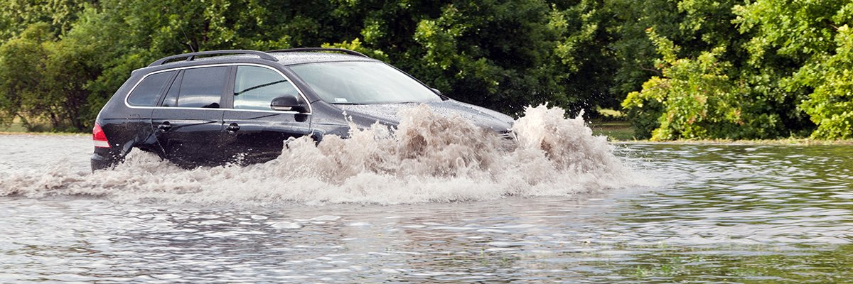
The United Kingdom is facing a critical challenge in environmental resilience as rising water levels threaten a staggering number of properties. In a strategic move to tackle flood risk, Ordnance Survey has partnered with Snowflake to deploy an AI-driven approach to identify and protect vulnerable infrastructure across the country.
At the center of this collaboration is the AI Flood Readiness Model, a sophisticated tool designed to provide policymakers with a granular understanding of which properties are most at risk. The initiative aims to bridge the gap between raw geographic data and actionable policy, ensuring that resources are directed toward the areas of greatest need.
The scale of the vulnerability is significant. According to recent data, the AI Flood Readiness Model has identified approximately 1.2 million undefended buildings that are currently at risk of flooding. These “undefended” properties—those lacking formal flood defenses—represent a primary target for the new AI-based interventions.
Leveraging AI to Map Vulnerability
The partnership between Ordnance Survey and Snowflake represents a shift toward data-driven disaster mitigation. By combining Ordnance Survey’s precise mapping capabilities with Snowflake’s data cloud infrastructure, the teams have developed a model capable of processing vast amounts of environmental and structural data to predict flood impact with higher accuracy.
For policymakers, the ability to isolate “undefended” properties is crucial. Historically, flood management has often relied on broad regional assessments. However, the AI Flood Readiness Model allows for a more surgical approach, identifying specific buildings that are exposed to rising risks despite their location. This level of detail is essential for planning the construction of new defenses and implementing local evacuation or reinforcement strategies.
The integration of artificial intelligence allows the system to analyze complex patterns that traditional mapping might miss, potentially identifying risks associated with changing weather patterns and urban development that increase runoff and water accumulation.
The Impact on UK Infrastructure and Policy
The identification of over a million properties at risk underscores the urgency of the UK’s flood defense strategy. As climate-driven weather events become more frequent, the reliance on AI to protect these properties is increasing. The goal is to move from a reactive stance—responding to floods after they occur—to a proactive model of readiness.
By utilizing the Snowflake platform, Ordnance Survey can share these insights more efficiently with government bodies and urban planners. This ensures that the data does not remain in a silo but is instead used to inform legislation, funding allocations, and emergency response planning. The focus remains on protecting the million-plus properties that currently stand without formal protection against rising waters from rising flood risks.
Key Components of the AI Flood Readiness Initiative
- Data Integration: Combining high-resolution mapping from Ordnance Survey with Snowflake’s scalable cloud computing.
- Risk Identification: Specifically targeting “undefended” buildings to prioritize defense spending, and engineering.
- Policy Support: Providing a visual and data-backed framework for policymakers to understand property-level risk.
- Scale: Addressing the vulnerability of 1.2 million buildings across the UK.
What This Means for the Future of Flood Management
The collaboration between Ordnance Survey and Snowflake serves as a blueprint for how public sector geographic data can be enhanced by private sector AI capabilities. As the model evolves, We see expected to provide even more precise predictions, potentially incorporating real-time weather data to warn residents and authorities before a flood event occurs.
For the millions of residents living in undefended properties, these technological advancements represent a critical step toward long-term security. The transition to an AI-led readiness model suggests that the future of disaster management will be defined by precision, predictability, and the ability to act before the water rises.
While the AI Flood Readiness Model provides the data, the next critical phase will be the physical implementation of defenses for the identified 1.2 million buildings. The effectiveness of this tool will ultimately be measured by the number of properties successfully moved from the “undefended” list to the “protected” list.
Further updates on the deployment of these AI tools and the subsequent policy changes are expected as the UK government integrates these findings into its national infrastructure plan.
Do you believe AI is the most effective way to manage climate-related risks? Share your thoughts in the comments below and share this article with your network.
Related reading