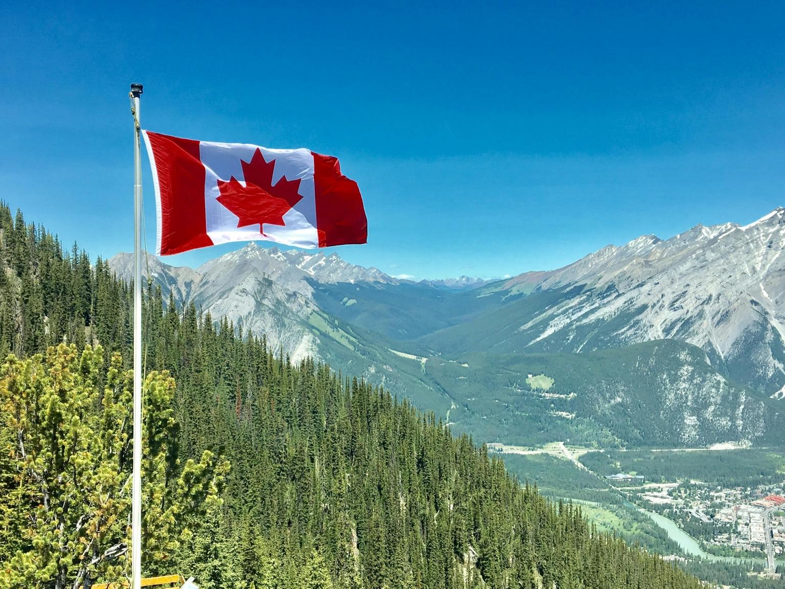
While the nation’s northern territories stay sparsely populated due to harsh climates, major urban centers like Toronto and Montreal continue to anchor a population of approximately 41.6 million people, according to Ontheworldmap data.
Geographic Diversity and the Canadian Landscape
Canada spans 9,984,670 square kilometers, or approximately 3.85 million square miles, according to WorldAtlas. The country’s physical makeup is divided into seven primary geographic regions. To the west, the Western Cordillera is defined by extensive mountain ranges, including the Saint Elias Mountains, which house Mount Logan—Canada’s highest peak at 5,959 meters. In contrast, the Interior Plains offer flatlands stretching from the United States border to the Canadian Shield, providing fertile ground for agriculture near major river systems like the Peace and the Saskatchewan.

The Canadian Shield covers nearly half of the nation, arcing around Hudson Bay. It is a region characterized by ancient crystalline rocks, coniferous forests, and a high concentration of lakes. Adjacent to this is the Hudson Bay Lowlands, recognized as one of the world’s largest wetland areas, known for its muskeg landscape. Meanwhile, the St. Lawrence Lowlands, which include parts of Ontario and Quebec, remain the most densely populated region, benefiting from deep soils and a relatively mild climate.
Economic Structure and Urban Concentration
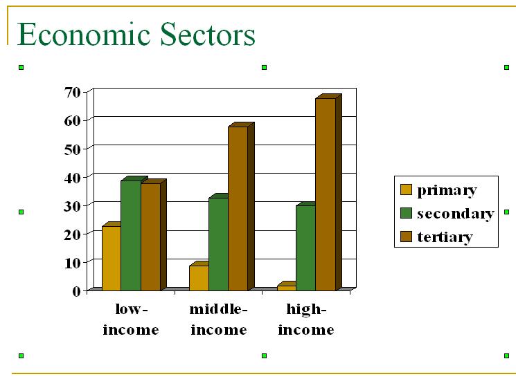
According to Ontheworldmap, Canada operates as a highly developed mixed-market economy, ranking among the world’s top ten economies by nominal GDP. The service sector is the primary economic driver, accounting for nearly 70% of the GDP. Resource extraction—including petroleum, natural gas, minerals, and timber—also plays a significant role in the national economy.
The nation’s population is heavily concentrated in major urban centers. Toronto, the country’s most populous city, holds over 2.9 million residents within its proper boundaries. Other key urban hubs include Montreal, Vancouver, Calgary, and Edmonton. These cities serve as the core of the nation’s trade relationships, particularly with the United States, which remains Canada’s largest trading partner. Beyond urban centers, the tourism industry attracts over 22 million international visitors annually, with destinations like Niagara Falls, the Rocky Mountains in Alberta and British Columbia, and national parks like Banff and Jasper serving as major draws.
Political Framework and Demographic Data
Canada functions as a parliamentary democracy and a constitutional monarchy, recognizing the British monarch as the head of state. Since joining the confederation in 1867, the country has maintained an official policy of bilingualism, with English and French holding federal status. As of the third quarter of 2025, the population is estimated at approximately 41,651,653, according to Ontheworldmap.
| Category | Data Point |
|---|---|
| Total Area | 9,984,670 km2 (3,855,100 mi2) |
| Federal Capital | Ottawa |
| Official Languages | English, French |
| Primary Religion | 53.3% Christian |
Religious demographics in Canada include 53.3% identifying as Christian, 4.9% as Muslim, 2.3% as Hindu, 2.1% as Sikh, and 1.0% as Buddhist, based on data provided by Ontheworldmap. The nation continues to balance its vast, sparsely populated northern territories—where harsh climate conditions limit settlement—with its highly urbanized southern corridors.
Find more reporting in our News section.
Related reading
- Hegseth to Implement Hormone Screening for US Troops to Optimize Performance
- North Korea in Pictures: Musée Confluences Exhibition
- How Nick Marsh and Rotary Drive Global Impact and Community Support (news-usa.today)
- Xi Jinping Visits Shanghai to Promote High-Quality Urban Renewal and People-Centered City Development (world-today-news.com)