
Meteorologists have issued heat advisories across Central Florida as a combination of extreme temperatures and the potential for severe thunderstorms creates hazardous conditions for residents. The National Weather Service (NWS) monitors a persistent high-pressure system that is driving heat indices into the triple digits, while atmospheric instability threatens to trigger sudden, heavy rainfall and gusty winds throughout the region.
According to the National Weather Service, heat indices—the “feels-like” temperature calculated by factoring in humidity—are expected to reach between 105 and 110 degrees Fahrenheit in several counties. These conditions present a significant risk for heat-related illnesses, particularly for those working outdoors, the elderly, and individuals without access to air conditioning. Authorities advise residents to stay hydrated, limit outdoor activities during peak afternoon hours, and check on vulnerable neighbors.
Understanding the Heat Advisory Criteria
A heat advisory is triggered when the combination of heat and humidity reaches levels that may cause illness if precautions are not taken. The National Weather Service defines the heat index as a measure of how hot it really feels when relative humidity is added to the actual air temperature. When these values remain consistently high over several hours, the physiological stress on the human body increases, leading to potential heat exhaustion or heat stroke.

In Central Florida, the current weather pattern is characterized by high humidity levels coming off the Atlantic Ocean and the Gulf of Mexico. This moisture traps heat near the surface, preventing the typical overnight cooling that usually provides relief. Public health officials emphasize that the danger of these conditions is cumulative; after multiple days of extreme heat, the risk of heat-related medical emergencies rises significantly.
Severe Storm Risks and Flash Flooding
While the heat remains a primary concern, the afternoon brings a secondary threat: severe thunderstorms. The same atmospheric conditions fueling the heat—high moisture content and instability—are prime ingredients for rapid storm development. According to the National Oceanic and Atmospheric Administration (NOAA), these storms often develop quickly in the late afternoon and can produce localized flash flooding, frequent lightning, and wind gusts exceeding 50 miles per hour.
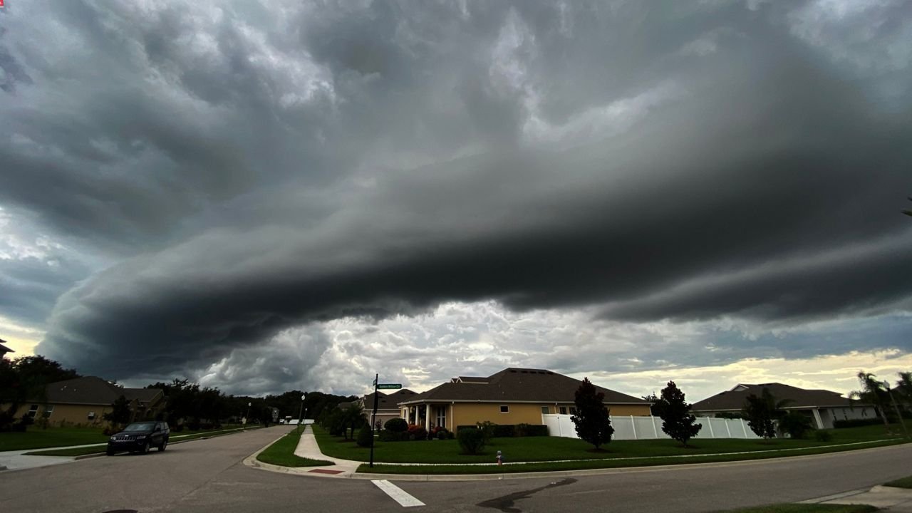
Urban areas, which are prone to poor drainage, are at the highest risk for temporary flooding during these downpours. Motorists are urged to avoid driving through standing water, as the depth of a flooded road is often deceptive and can quickly stall vehicles. The NWS advises that if a severe thunderstorm warning is issued for a specific area, residents should move indoors immediately and stay away from windows until the storm passes.
Resources for Heat Relief
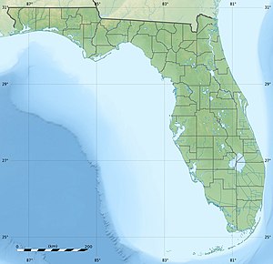
Local governments and community organizations are mobilizing to provide support for those affected by the high temperatures. In the Tampa Bay area and surrounding counties, officials have designated several public facilities as cooling centers. These locations provide air-conditioned environments for residents who may not have access to reliable cooling in their homes.
The Hillsborough County government and other regional emergency management offices maintain updated lists of these cooling stations. Residents are encouraged to monitor local government social media channels and official websites for the most current information regarding operating hours and accessibility. In addition to these centers, public libraries and community centers often serve as auxiliary cooling spaces during normal business hours.
Safety Recommendations for Extreme Weather
Navigating these weather extremes requires proactive planning. Health experts suggest the following steps to mitigate risks during the current advisory period:
- Hydration: Drink plenty of water throughout the day, even if you do not feel thirsty. Avoid excessive caffeine or alcohol, which can contribute to dehydration.
- Timing: Schedule strenuous outdoor work or exercise for the early morning or late evening when temperatures are at their lowest.
- Clothing: Wear lightweight, light-colored, and loose-fitting clothing to help the body regulate temperature more effectively.
- Monitoring: Keep an eye on local forecasts via the National Weather Service website to receive real-time updates on changing storm developments.
The current weather pattern is expected to persist through the weekend. Meteorologists will continue to provide updates as new data becomes available. Residents should remain vigilant for changing alerts and follow guidance from local emergency management officials. If you are experiencing symptoms of heat exhaustion, such as dizziness, heavy sweating, or a rapid pulse, seek medical attention immediately.
Related reading