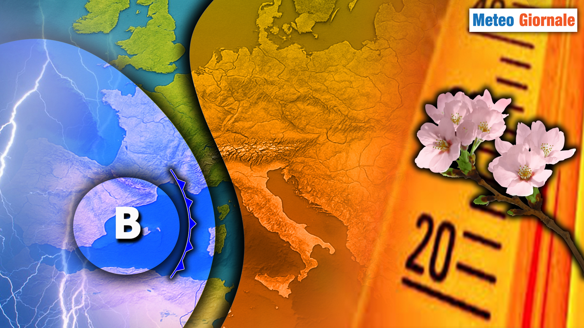
The approaching week across much of Italy is poised to be dominated by high-pressure systems, bringing a period of relative stability. However, meteorologists are tracking subtle shifts that suggest the atmospheric picture won’t be entirely static as winter transitions towards spring. While widespread calm is expected, a temporary weakening of the high-pressure influence mid-week could introduce increased cloud cover and a slight chance of precipitation in certain regions. This dynamic interplay between stable conditions and emerging disturbances warrants close attention, particularly for those planning outdoor activities.
The persistence of high-pressure systems across Europe has been a notable feature of the winter of 2026, and Italy has largely benefited from this pattern. This high pressure, often referred to as the Azores High, typically brings clear skies, dry conditions, and milder temperatures. However, the current configuration is also contributing to an unusual situation: an increased risk of avalanches in the Alpine regions. According to Meteo.it, the unusually warm temperatures – with some areas above 2700 meters not dropping below freezing for four consecutive days – are weakening the snowpack, making it more susceptible to slides. The prolonged presence of the anticyclone is directly linked to this heightened avalanche danger, emphasizing the need for caution and adherence to safety guidelines for anyone venturing into mountainous terrain.
A Week of Contrasts: Initial Stability and Mid-Week Changes
The initial part of the week will spot generally stable weather conditions across Italy, though not consistently sunny. The high-pressure system will ensure dry conditions for most of the country, but the presence of warmer air aloft flowing over cooler air at lower levels will promote the formation of extensive cloud cover. These clouds are expected to be more frequent in the North and along the Tyrrhenian sectors, where skies will often appear gray or veiled, particularly during the central hours of the day. These aren’t expected to produce significant rainfall, but rather stratifications that could make the atmosphere appear somewhat opaque. The overall pattern suggests a continuation of the mild winter experienced so far this year.
Conditions will differ in other areas, particularly along the Adriatic coast and in the South, where clearer skies are anticipated, allowing the sun to shine more consistently. Temperatures will remain mild for the time of year, with values in central and southern Italy potentially reaching and even exceeding 20°C (68°F) during the warmest parts of the day. This almost spring-like climate will be especially noticeable in inland areas away from morning fogs. The warmth is a significant departure from historical averages for late February, raising concerns about the impact on seasonal cycles and agricultural practices.
Mid-Week Disturbance and Potential for Limited Rainfall
A slight deterioration is anticipated after the middle of the week. Starting on Thursday, March 5th, the high-pressure system will demonstrate a temporary weakening on its western flank. Cloud cover will increase, becoming more compact over the Northwest, Sardinia, and along the Tyrrhenian regions. Weak rainfall is not entirely excluded during the evening and overnight hours, with the highest probability in Liguria, upper Tuscany, and western Sardinia. However, these are expected to be scattered and of modest intensity, occurring within a still relatively stable context. The potential for precipitation, even if limited, highlights the dynamic nature of the atmospheric system and the challenges of long-range forecasting.
The remainder of Italy will experience variable conditions, with alternating periods of cloudiness and sunshine, but without significant rainfall. By Friday, March 6th, the high-pressure system is expected to regain strength, re-establishing a more stable and tranquil pattern. The weekend should therefore unfold with extensive sunny periods, some patches of fog in the Po Valley in the mornings, and localized harmless cloudiness. This return to high pressure will likely reinforce the mild temperature trend, potentially extending the unseasonably warm conditions.
Avalanche Risk and Mountain Safety
The unusually mild temperatures associated with the persistent high-pressure system are creating hazardous conditions in the mountains. As previously mentioned, the snowpack is becoming unstable due to the warm air and lack of refreezing at higher altitudes. Meteo.it strongly advises anyone planning mountain excursions to consult the Meteomont and Aineva bulletins for up-to-date information on avalanche risk and danger levels. These resources provide critical assessments of snowpack stability and potential hazards, enabling informed decision-making for backcountry travelers. The Trentino region, in particular, is currently under a “strong” avalanche risk alert, underscoring the severity of the situation.
Looking Ahead: Potential for Change Later in March
the week will be characterized by prevailing stability and mild temperatures, with only a brief and modest passage of increased cloudiness mid-period before a renewed consolidation of the high-pressure system. While the immediate forecast points to continued calm, meteorologists are monitoring a potential shift in the pattern towards the second half of March. According to 3bmeteo.com, a western disturbance could attempt to break through the high pressure, but its evolution remains uncertain due to the distance in time. Staying informed through regular weather updates will be crucial as the month progresses.
The current situation underscores the complex interplay of atmospheric forces and the challenges of predicting weather patterns with absolute certainty. The unusually warm temperatures and the associated avalanche risk serve as a reminder of the potential consequences of climate variability and the importance of preparedness. As we move further into spring, continued monitoring of weather conditions and adherence to safety guidelines will be essential for ensuring a safe and enjoyable experience for all.
The next significant update on the evolving weather pattern is expected around March 3rd, as meteorologists assess the potential impact of the western disturbance. We encourage readers to share their observations and experiences with the current weather conditions in the comments below.
Worth a look