Italy Braces for Final Blast of Winter Weather Before a Shift to Stability
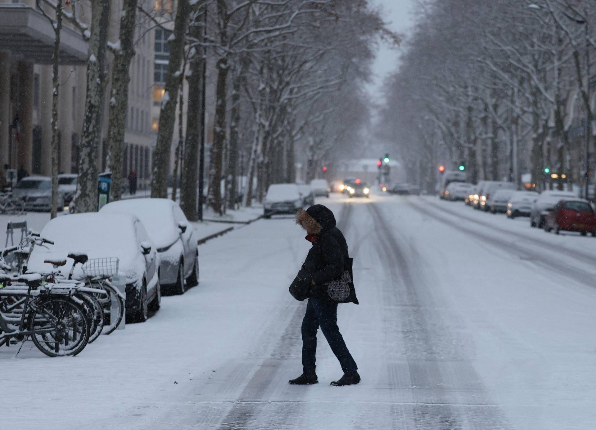
After weeks of unsettled conditions, Italy is preparing for one last significant winter storm before a period of more stable weather arrives. The system, expected to move across the country between Thursday and Friday, marks the concluding chapter of a prolonged period of instability, paving the way for a more lasting return to calm. While many regions will experience heavy rainfall, the mountains are bracing for substantial snowfall, with accumulations potentially reaching 40 centimeters in just 24 hours.
Meteorologist Federico Brescia of iLMeteo.it confirmed that the break from the recent wet weather is imminent, but not before this final front delivers a powerful punch. This latest disturbance promises widespread precipitation and localized thunderstorms, particularly impacting the Tyrrhenian coast, Liguria and much of northern Italy. The approaching weather system is expected to be a rapid-moving one, with improvements anticipated by Friday.
Snowfall Expected to Reach Low Elevations
The most significant aspect of this weather event will be the snow. Accumulations are forecast to descend to lower elevations, potentially reaching plains areas in the provinces of Cuneo, Asti, and Alessandria in Piedmont. The snowfall will too blanket the alpine and pre-alpine valleys, with a chance of snow falling in cities like Aosta, Sondrio, Trento, and Bolzano, transforming these urban centers with a distinctly wintery atmosphere. This is particularly notable as these cities are at varying altitudes, indicating a widespread cold airmass.
The Alps are expected to bear the brunt of the snowfall, with particularly heavy accumulations above 1,500 meters. Forecasts predict accumulations of 30 to 40 centimeters within a 24-hour period. While this substantial snowfall is welcome news for the mountain landscape, it also presents challenges for transportation and an increased risk of avalanches due to the rapid accumulation rate. Authorities are urging caution for those traveling in mountainous regions.
Regional Breakdown: Thursday and Friday Forecast
The weather system is expected to move quickly across the country. On Thursday, February 19th, northern Italy will experience fast-moving storms and snow at lower elevations in the west, with conditions improving in the evening. Central Italy will see showers, particularly in Tuscany, Umbria, and Lazio. The southern regions will experience deteriorating conditions in Campania.
By Friday, February 20th, conditions are expected to improve significantly. Northern Italy should be sunny, while central Italy may experience residual instability along the Adriatic coast. Southern Italy will see scattered showers. The overall trend points towards clearer skies and a return to more stable conditions across the nation.
Weekend Outlook: High Pressure Returns
The most significant change will arrive over the weekend, as high pressure is forecast to expand across Italy. This anticyclonic system, acting as a “shield” of stable air, is expected to bring at least five to six days of settled and sunny weather. This marks a dramatic shift from the recent unsettled pattern and offers a welcome respite for residents and businesses alike. The return of high pressure will likely lead to a noticeable increase in temperatures as well, though specific temperature forecasts require further monitoring.
Looking ahead to Saturday, February 21st, northern Italy is predicted to be partly cloudy, while central Italy will be clear. Southern Italy may experience lingering showers along the lower Tyrrhenian coast. The general trend indicates a continuation of stable, anticyclonic conditions, with only a slight increase in cloud cover expected along the Ligurian coast and the Tyrrhenian side of the peninsula.
Impact on Travel and Infrastructure
The anticipated snowfall, particularly in the Alps, will likely disrupt travel plans. Road closures and delays are possible, and travelers are advised to check conditions before embarking on journeys. The rapid accumulation of snow also increases the risk of avalanches, prompting authorities to issue warnings and potentially close certain mountain roads and ski areas. Local authorities are preparing for potential disruptions to infrastructure, including power outages in areas experiencing heavy snowfall.
While the storm is expected to be relatively short-lived, the potential for significant snowfall and localized flooding requires preparedness. Residents in affected areas are advised to secure outdoor objects, avoid unnecessary travel during the peak of the storm, and stay informed about the latest weather updates from reliable sources.
Long-Term Weather Trends and Climate Considerations
This recent period of unsettled weather in Italy is part of a broader pattern of increased climate variability observed across Europe. While individual weather events cannot be directly attributed to climate change, scientists note that a warming climate is contributing to more frequent and intense extreme weather events, including heavy rainfall, and snowfall. Understanding these long-term trends is crucial for effective disaster preparedness and mitigation strategies.
The return of high pressure over the weekend offers a temporary reprieve, but it is key to remain vigilant and monitor weather forecasts as the season progresses. Continued monitoring of climate patterns and investment in infrastructure resilience are essential to minimize the impact of future extreme weather events.
The next confirmed update on the long-range weather forecast for Italy is scheduled for release by the European Centre for Medium-Range Weather Forecasts (ECMWF) on February 26th. Readers are encouraged to stay informed by checking reliable weather sources and following local authorities’ guidance. Share your experiences with the recent weather in the comments below, and let us know how this storm has impacted your region.
Keep reading