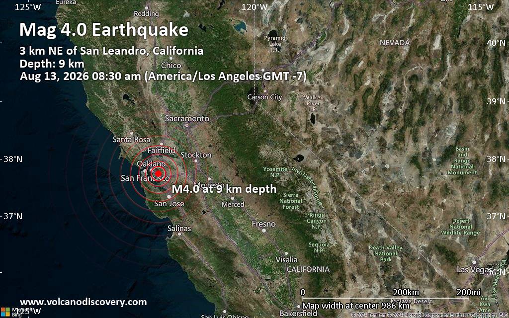
A moderate earthquake measuring 4.0 on the magnitude scale struck Alameda County, California, on Thursday, August 13, 2026, at approximately 8:30 a.m. local time, according to data from the United States Geological Survey. The seismic event was centered roughly 3.3 kilometers northeast of San Leandro at a depth of about 9 kilometers, prompting widespread light to moderate shaking across the East Bay and surrounding San Francisco Bay Area communities.
Seismological data indicates that the tremor was felt by numerous residents near the epicenter. While preliminary automated metrics initially pointed toward a slightly higher magnitude of 4.1 at a shallower depth, subsequent analysis by USGS scientists positioned the final preliminary parameters at magnitude 4.0 and a 9-kilometer depth.
Residents across several regional population centers experienced ground motion ranging from light to moderate intensities. According to USGS community felt-reports and preliminary modeling, noticeable shaking occurred throughout San Leandro, Castro Valley, Hayward, Alameda, San Ramon, and Oakland.
Geological Context of the East Bay Fault Systems
Because the hypocenter was located at a relatively shallow depth of 9 kilometers beneath Alameda County, energy reached nearby urban centers quickly. Minor incidents—such as unsecured items falling from shelves or small hairline plaster cracks in older structures—represent the typical upper threshold of impact for a moderate regional event of this size.
Preparedness and Official Monitoring Resources
Related reading