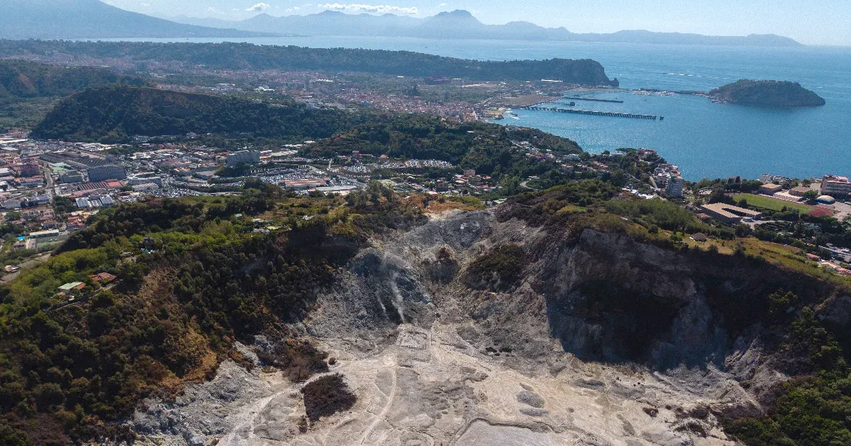
The earth beneath the Reykjanes Peninsula is no longer sleeping. For centuries, this specific stretch of Iceland’s southwestern coast remained tectonically quiet, a period of dormancy that allowed infrastructure, towns, and tourism to flourish. However, in recent years, the ground has begun to breathe with a rhythmic, unsettling intensity. A series of eruptions and intense seismic swarms has signaled that a new geological era has arrived.
While sensationalist headlines often gravitate toward the terrifying concept of a “supervolcano,” geologists and local authorities are focused on a more nuanced and perhaps more persistent reality. The concern is not a single, cataclysmic event that could alter the global climate, but rather a pattern of frequent, localized, and highly disruptive fissure eruptions. This “waking up” of the Reykjanes Peninsula represents a fundamental shift in the region’s volcanic cycle, posing immediate challenges to human settlements and the Icelandic economy.
As the frequency of magma intrusions increases, the international scientific community is closely watching Iceland. The question is no longer if the peninsula will erupt, but how often, where, and how much warning the local populations will receive. For the residents of towns like Grindavík, the geological unrest is not a theoretical study—It’s a daily reality of cracked roads, evacuated homes, and an uncertain future.
The Reykjanes Renaissance: A New Era of Tectonic Activity
To understand why the peninsula is “waking up,” one must look beneath the surface at the exceptionally mechanics of our planet. Iceland sits directly atop the Mid-Atlantic Ridge, the divergent boundary where the North American and Eurasian tectonic plates are slowly pulling away from each other. This constant tension creates cracks in the Earth’s crust, allowing molten rock—magma—to rise toward the surface.
For approximately 800 years, the Reykjanes Peninsula experienced a period of relative volcanic quiescence. During this time, the tectonic movement continued, but the magma did not find effortless passage to the surface. That changed in 2021 with the eruption at Fagradalsfjall, an event that marked the beginning of a new cycle. Since then, the region has transitioned from sporadic activity to a much more predictable, albeit dangerous, pattern of magma accumulation and subsequent eruption.
Geologists note that this transition suggests the peninsula has entered a new “active phase.” This phase is characterized by the repeated opening of fissures—long cracks in the ground—rather than the formation of a single, massive volcanic cone. These fissure eruptions can produce vast flows of basaltic lava that move rapidly across the landscape, reshaping the topography and threatening anything in their path.
Not a Supervolcano, But a Persistent Threat
In the wake of increased seismic activity, the term “supervolcano” frequently appears in social media discussions and amateur news reports. It is a term that evokes images of Yellowstone or Toba—events capable of burying continents in ash and triggering volcanic winters. However, experts are quick to clarify that the current activity in Iceland does not fit this description.
A supervolcano is defined by its scale and the volume of material it can eject in a single event. The eruptions currently occurring on the Reykjanes Peninsula are significantly smaller in scale. They are characterized by effusive activity—the steady flow of lava—rather than the explosive, ash-heavy eruptions associated with supervolcanoes. While the scale is smaller, the “worrying” aspect that scientists emphasize is the frequency of these events.
The danger lies in the cumulative impact. When eruptions occur every few months or even weeks, the window for recovery closes. Infrastructure, such as power plants, water pipelines, and roads, is subjected to repeated stress. The steady accumulation of magma in shallow reservoirs can lead to sudden, intense seismic swarms that make ground stability unpredictable. The threat is not one of global extinction, but of localized, recurring devastation that is difficult to manage and even harder to insure.
The Human Cost: The Crisis in Grindavík
The most visible and tragic consequence of this geological awakening is the impact on local communities, most notably the fishing town of Grindavík. Once a thriving community, Grindavík has become the epicenter of a humanitarian and economic crisis driven by volcanic unrest.
As magma moved beneath the town in late 2023 and early 2024, the resulting seismic activity caused massive fissures to open within the residential areas. Roads were torn apart, and houses were split by the shifting earth. The uncertainty of the ground’s stability forced a mass evacuation, leaving hundreds of families in a state of permanent displacement. For many, the dream of returning home has been replaced by the reality of long-term relocation.
The disruption extends beyond housing. The local economy, heavily dependent on fishing and local industry, has been paralyzed. Even the iconic Blue Lagoon, one of Iceland’s most significant tourism assets, has faced multiple temporary closures due to its proximity to the eruption sites and the risk posed by gas emissions and lava flows. The economic toll is measured not just in destroyed property, but in the erosion of community identity and the immense cost of disaster management and relocation efforts.
Key Impacts of Recent Volcanic Activity
- Displacement: Entire communities, including Grindavík, have faced mandatory evacuations and long-term displacement.
- Infrastructure Damage: Critical services, including heating, water, and transportation networks, have been severed by lava flows and ground fissures.
- Economic Volatility: The tourism sector and local industries face instability due to unpredictable eruption cycles and safety concerns.
- Environmental Hazards: High concentrations of volcanic gases, such as sulfur dioxide, pose ongoing respiratory risks to nearby residents, and workers.
Monitoring the Magma: The Science of Prediction
To mitigate the risks posed by this increasing activity, Iceland employs some of the most sophisticated geological monitoring systems in the world. The Icelandic Meteorological Office (IMO) serves as the primary authority, providing real-time data on seismic activity, ground deformation, and gas emissions.
Scientists use a multi-layered approach to track the movement of magma:
- Seismic Monitoring: High-sensitivity seismometers detect the tiny tremors caused by magma forcing its way through the crust. An increase in the frequency and depth of these tremors often precedes an eruption.
- GPS and InSAR: Global Positioning System (GPS) stations and Interferometric Synthetic Aperture Radar (InSAR) allow scientists to measure ground deformation with millimeter precision. As magma accumulates in a reservoir, the ground above it literally swells, a phenomenon known as “inflation.”
- Gas Spectroscopy: Monitoring the chemical composition and concentration of gases like sulfur dioxide (SO2) helps experts understand the depth and volume of the magma source.
Despite these advanced tools, predicting the exact timing and location of a fissure eruption remains a significant challenge. While scientists can identify areas of high risk—such as the Sundhnúkur crater row—the final “breakthrough” of magma to the surface can occur with very little warning, sometimes only minutes or hours before the eruption begins.
Global Implications and the Future of the Peninsula
While the immediate impact is felt in Iceland, the Reykjanes Peninsula’s awakening has broader implications for the global scientific community. It provides a living laboratory for studying how tectonic plates interact and how magma systems evolve during a transition from dormancy to activity. The data gathered here will inform volcanic hazard assessments and disaster preparedness models worldwide.
the situation highlights the growing tension between geological reality and economic development. As climate change and other factors push human populations toward more vulnerable coastal areas, the ability to manage “slow-onset” geological disasters like the Reykjanes eruptions will become a critical component of global resilience planning.
Looking ahead, the scientific consensus suggests that this period of heightened activity is unlikely to be a short-lived anomaly. The peninsula may remain in this active phase for years, or even decades. For Iceland, the challenge will be to build a society that is “volcano-ready”—one that can adapt its infrastructure, economy, and urban planning to a landscape that is fundamentally in motion.
Next Official Update: The Icelandic Meteorological Office continues to issue daily updates on seismic activity and magma accumulation levels. Residents and travelers are advised to monitor official IMO advisories for real-time safety information.
What are your thoughts on the balance between economic development and geological risk? Do you think modern technology is enough to protect communities in active volcanic zones? Share your comments below and share this article to spread awareness.
Worth a look