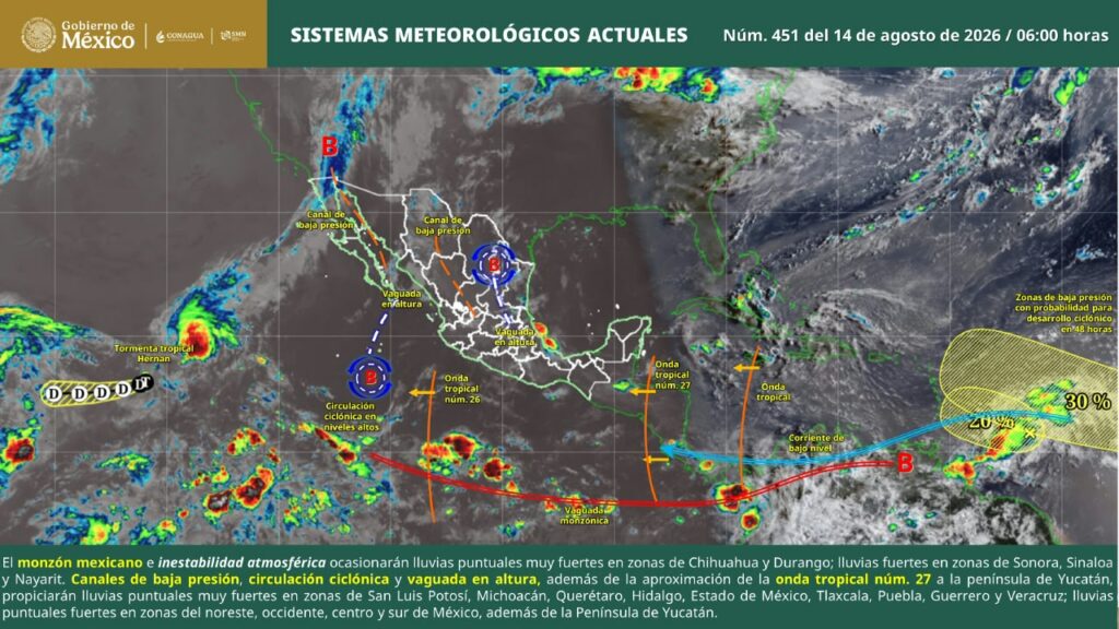
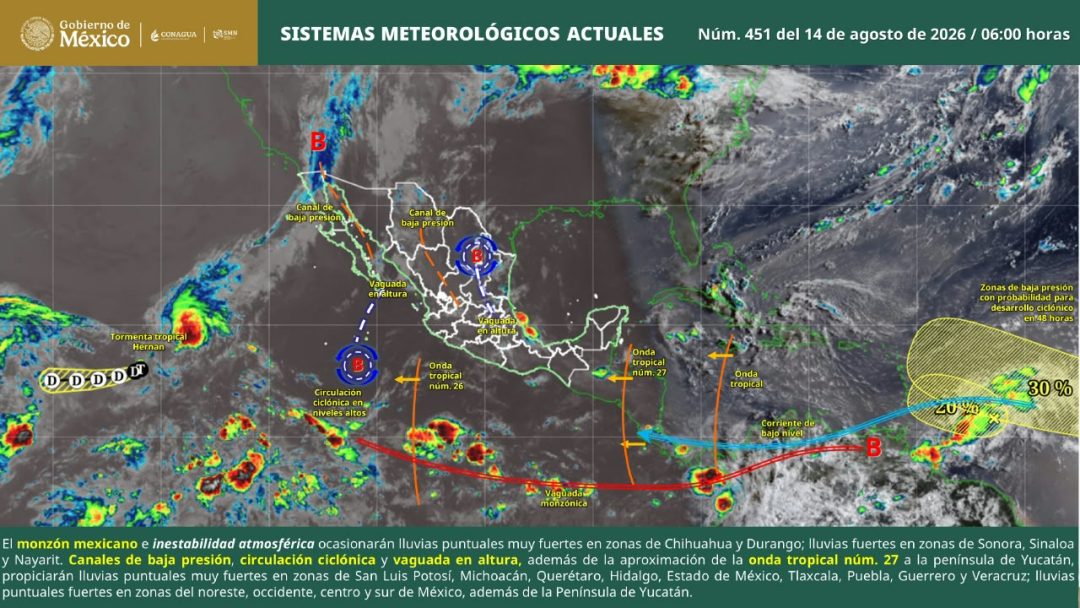
According to the Coordinación Estatal de Protección Civil y Gestión de Riesgos (CEPCyGR), a cyclonic circulation interacting with a mid-to-high-level tropospheric trough is bringing varied weather conditions across Oaxaca, combining morning clear skies with anticipated afternoon mountain rainfall and elevated temperatures, particularly in coastal and basin regions.
The latest meteorological advisory outlines how these atmospheric patterns will shape daily conditions throughout the state. While morning hours remain largely clear across lower elevations, mountainous terrain will experience low cloud cover and isolated light showers as the afternoon progresses.
Simultaneously, the Comisión Nacional del Agua (Conagua) reports that maximum temperatures will see minimal overall change, keeping conditions exceptionally warm and humid in specific zones. The most intense heat remains concentrated along the Costa, Istmo, and Cuenca del Papaloapan regions, where residents face persistently sultry weather. Surface winds, initially gentle through the morning hours, are expected to pick up by afternoon, bringing locally gusty conditions near any passing precipitation.
Regional Temperature Breakdown Across Oaxaca
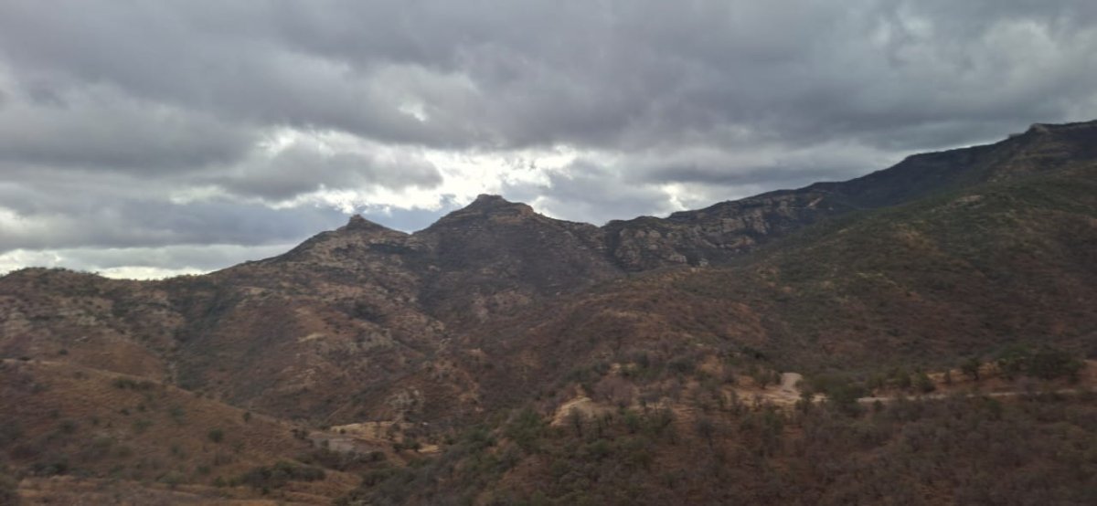
The state weather forecast details notable temperature variations across Oaxaca’s diverse microclimates, highlighting significant differences between high-altitude peaks and low-lying coastal plains:
- Valles Centrales: Minimum of 15 degrees and a maximum of 32 degrees Celsius.
- Istmo de Tehuantepec: Minimum of 23 degrees and a maximum of 37 degrees Celsius.
- Cuenca del Papaloapan: Minimum of 22 degrees and a maximum of 36 degrees Celsius.
- Costa: Minimum of 23 degrees and a maximum of 36 degrees Celsius.
- Mixteca: Minimum of 15 degrees and a maximum of 32 degrees Celsius.
- Sierra de Flores Magón: Minimum of 16 degrees and a maximum of 35 degrees Celsius.
- Sierra de Juárez: Minimum of 13 degrees and a maximum of 30 degrees Celsius.
- Sierra Sur: Minimum of 14 degrees and a maximum of 32 degrees Celsius.
These figures underscore the stark contrast between cooler highland sectors like the Sierra de Juárez—where morning lows dip to 13 degrees—and the sweltering Istmo de Tehuantepec, where afternoon peaks reach 37 degrees.
Official Safety Advisories and Public Guidance
In response to the forecast of localized strong storms and high heat indices, state authorities have issued clear directives for residents and mariners alike. The CEPCyGR strongly urges the public to heed all safety recommendations issued by civil protection units and regional port authorities (Capitanías de Puerto).
Officials emphasize that staying informed through authorized institutional channels remains essential for public safety during this seasonal weather transition.
Residents can access real-time weather updates and official bulletins by following the state’s verified social media channels on Facebook at @CEPCYGRGobOax and on X at @CEPCyGR_GobOax. Civil protection agencies will continue to issue updates as atmospheric conditions evolve.
Related reading