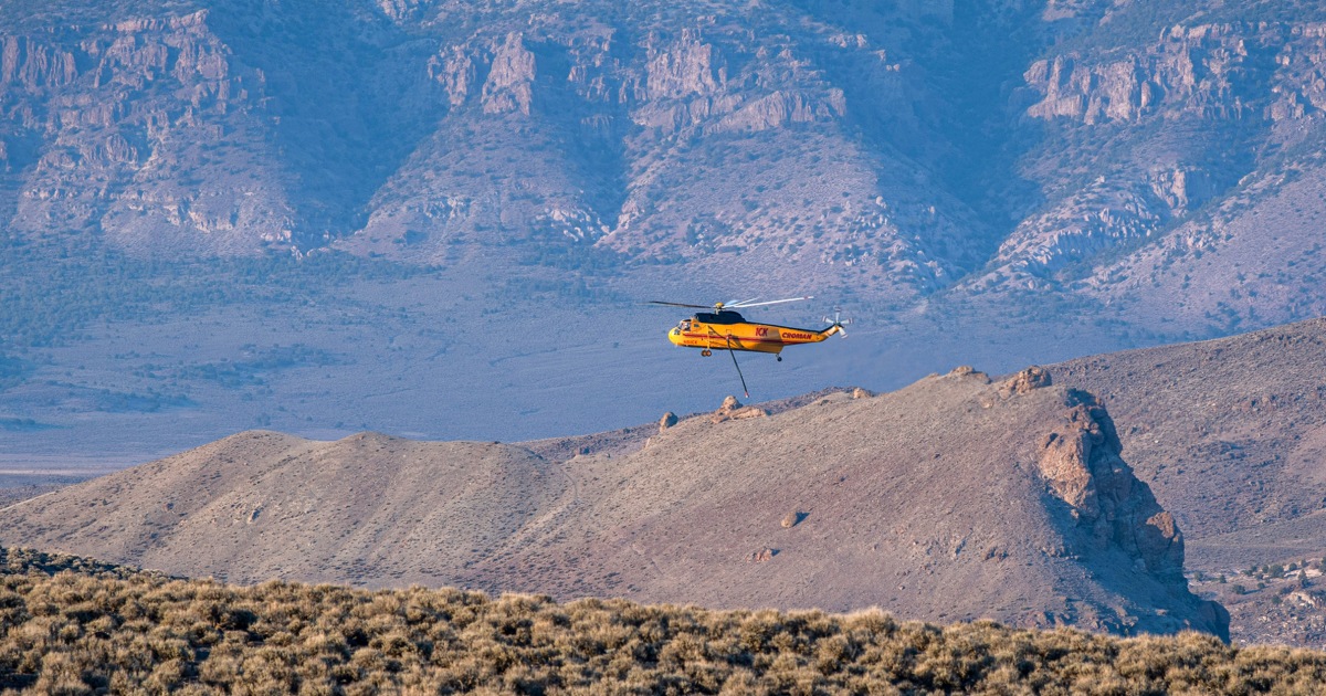
Meteorologists and fire management officials have issued urgent warnings for the American Southwest this weekend as a combination of high temperatures, low humidity, and gusty winds creates what authorities describe as “extremely critical” fire weather conditions. Residents in parts of Utah, Nevada, and New Mexico are under heightened alert as existing blazes face the potential for rapid, unpredictable growth.
The National Weather Service (NWS) has flagged a significant portion of the region for fire weather watches and red flag warnings, citing a volatile atmospheric setup. According to the National Weather Service’s Storm Prediction Center, the convergence of dry vegetation and intense wind gusts creates an environment where ignition sources can lead to explosive fire behavior. Officials are urging residents to monitor local emergency management channels for evacuation notices and to strictly adhere to ongoing fire restrictions, which prohibit activities such as open burning and the use of fireworks.
Understanding the Current Fire Risk
The term “extremely critical” is a specific designation used by the National Interagency Fire Center (NIFC) to denote a high-confidence forecast for large, dangerous fire growth. This designation is typically triggered when fuel moisture levels reach record lows and wind speeds are forecast to exceed 25 to 30 miles per hour for several hours. In the high deserts of Nevada and the mountainous terrain of Utah, this combination often results in “plume-dominated” fires, which can create their own weather patterns and make containment efforts hazardous for ground crews.

In New Mexico, fire managers are particularly concerned about the impact of these conditions on ongoing containment efforts for blazes already burning in the state. According to reports from the New Mexico Fire Information website, state and federal agencies have prepositioned additional resources, including heavy air tankers and hand crews, to respond to new starts. The state has experienced an early and active fire season, prompting officials to emphasize that the current conditions are not merely a seasonal occurrence but a heightened state of environmental instability.
Why Geography Increases Vulnerability
The geography of the Southwest plays a pivotal role in how these wildfires behave. The region’s complex topography—ranging from deep canyons to high-altitude plateaus—can channel wind, causing fire fronts to accelerate unexpectedly. When these winds align with steep slopes, fire can climb terrain much faster than crews can safely maneuver.
According to data maintained by the National Interagency Fire Center, the Southwest has seen a steady increase in the number of days categorized as having “high” or “extreme” fire danger over the last decade. This shift is attributed to long-term drought conditions that have left timber and brush extremely dry, acting as high-octane fuel for any ignition. Even a small spark, whether from a vehicle, utility line, or lightning strike, can lead to a wildfire that challenges containment efforts within minutes.
Safety Guidance for Impacted Communities
Emergency management agencies are advising residents in the affected zones to prepare “go-bags” and stay informed through official sources. The Federal Emergency Management Agency (FEMA) recommends that households in fire-prone areas keep a supply of water, non-perishable food, and essential documents ready.

Key safety measures for residents in Nevada, Utah, and New Mexico include:
- Registering for local emergency alert systems, which provide real-time updates on evacuation orders.
- Maintaining a “defensible space” around homes by clearing dead vegetation and debris within 30 to 100 feet of structures.
- Monitoring official social media accounts of local fire departments and the Bureau of Land Management (BLM) for updates on land closures and burn bans.
- Creating a communication plan so that family members know where to meet if an evacuation is ordered.
The situation remains fluid, with weather models indicating that the current high-wind event could persist through Sunday evening. Officials from the National Weather Service plan to provide updated briefings as the atmospheric conditions evolve. The next major update regarding fire weather outlooks is expected on Monday morning, when forecasters will assess whether the current high-risk pattern will begin to break down or persist into the coming week. Readers are encouraged to share this information with neighbors and stay tuned to local news outlets for immediate developments in their specific jurisdiction.
Keep reading