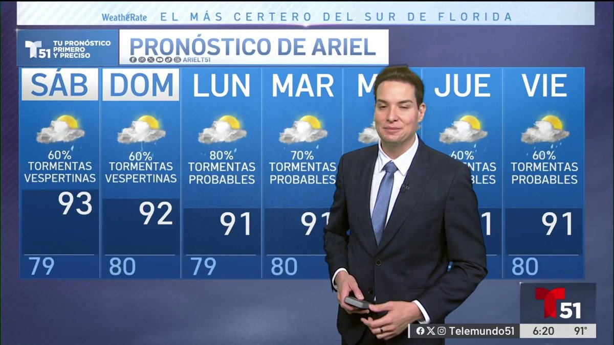
Residents across Miami and the broader South Florida region should prepare for continued unsettled weather, as persistent showers and thunderstorms are expected to linger through the evening hours. According to the National Weather Service (NWS) Miami, the area remains under the influence of a tropical moisture plume that is keeping humidity levels significantly elevated and temperatures unseasonably warm for this time of year.
While the immediate forecast indicates that the most intense storm activity will gradually diminish as the night progresses, the atmospheric conditions remain primed for localized downpours. The NWS notes that the combination of high dew points and daytime heating has created a stagnant air mass, which is typical for the region’s transitional seasons but currently contributing to frequent, albeit scattered, rain events.
Atmospheric Conditions and Precipitation Outlook
The current weather pattern across the Florida peninsula is driven by a deep layer of moisture flowing in from the Caribbean and the Gulf of Mexico. Meteorologists at the National Hurricane Center often monitor these moisture corridors, as they can quickly elevate the risk of localized flooding in low-lying urban areas. For tonight, the primary concern remains the potential for ponding on roadways and reduced visibility during heavier bursts of rain.
Temperatures are forecast to stay in the mid-70s to low 80s Fahrenheit, maintained by the thick cloud cover and high humidity. This environment limits the typical nighttime cooling process, resulting in a muggy, “warm” feel that persists well past sunset. Residents in Miami-Dade, Broward, and Palm Beach counties are advised to monitor local radar if they have outdoor plans, as storm cells can develop rapidly and change intensity with little warning.
What to Expect Through the Week
Looking ahead, the active weather pattern is expected to shift as a cold front approaches the state later in the week. Official data from the NWS hazardous weather outlook suggests that the region may experience a slight decrease in humidity levels by the weekend, provided the front clears the peninsula as current models suggest. Until that transition occurs, the pattern of “very humid and warm” conditions will likely remain the standard.
For those navigating the region, the following precautions remain standard during such periods of instability:
- Monitor the local NWS radar for real-time storm tracking.
- Exercise caution while driving, as standing water can accumulate quickly on South Florida’s flat topography.
- Keep mobile devices charged and accessible for weather alerts issued by local emergency management offices.
Staying Informed on Local Weather Hazards
The volatility of Florida’s weather necessitates reliance on verified, official data rather than anecdotal reports. The NWS maintains a constant stream of updates regarding potential flood advisories or severe thunderstorm warnings. As the current moisture-rich air mass begins to gradually lose its grip, officials expect the frequency of nighttime showers to decrease, though the overall humidity will likely remain a factor for the next 48 to 72 hours.
The next official update from the National Weather Service is scheduled for early tomorrow morning, when meteorologists will evaluate the speed of the incoming front and its potential impact on the weekend forecast. Residents are encouraged to check official government resources for the most accurate and timely information regarding their specific neighborhood. We invite readers to share their local weather observations in the comments section below.