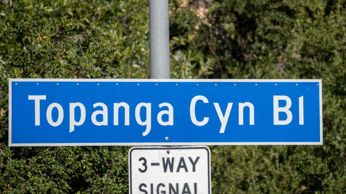
A significant stretch of Topanga Canyon Boulevard (State Route 27) is set to close Thursday morning as Los Angeles County braces for another round of heavy rainfall and potential debris flows. The 3.6-mile closure, between Pacific Coast Highway and Grand View Drive, is a proactive measure taken by the California Department of Transportation (Caltrans) to ensure public safety in an area still recovering from the impacts of the Palisades Fire and recent winter storms. This closure underscores the ongoing challenges posed by extreme weather events in fire-affected regions and the critical need for infrastructure resilience.
The decision to close this vital artery comes as the National Weather Service has issued a flood watch for the Los Angeles area, predicting peak rainfall between 6 p.m. Tuesday and 6 a.m. Wednesday. Overnight Tuesday, forecasters anticipated up to 1.5 inches of rain, with peak rates of 0.25 to 0.50 inches per hour, raising concerns about localized flooding, mudslides, and debris flows. The potential for these hazards prompted Caltrans to implement the closure, initially announced on Sunday, February 15th, and extended due to the continued threat. The area remains an active work zone as crews continue recovery efforts.
Topanga Canyon Boulevard Closure Details
The closure of State Route 27 between Pacific Coast Highway and Grand View Drive will begin at 5 a.m. On Thursday, February 19, 2026, and will remain in effect until further notice. Caltrans crews have already established barriers along the affected stretch of highway and along Pacific Coast Highway between Sunset Boulevard and Carbon Beach Terrace. Even as the entire section is closed to through traffic, one lane remains accessible for emergency vehicles, ensuring critical services can still reach those in need. Motorists are strongly advised to plan alternate routes and avoid the area during the storm. Checking current traffic conditions via the Caltrans Quickmap is highly recommended before traveling.
Impact of Recent Storms and the Palisades Fire
The current closure is a direct consequence of the damage sustained during recent storms, compounded by the increased vulnerability of burn areas. The Palisades Fire, which ravaged the region in 2021, significantly destabilized the hillsides, making them more susceptible to landslides and debris flows during periods of heavy rainfall. The combination of saturated ground and intense precipitation creates a dangerous environment, prompting Caltrans to prioritize safety by proactively closing the highway. This section of SR-27 is typically closed to the public from midnight to 5 a.m. Daily as part of the ongoing recovery efforts.
The National Weather Service’s flood watch highlights the severity of the situation. The forecast calls for a 100% chance of rain on Thursday, with potential accumulations of up to three-quarters of an inch. Officials warn of possible canyon rockslides and moderate flooding, further emphasizing the risks associated with travel in the affected areas. Crews are similarly closely monitoring the recovery work zone on Pacific Coast Highway between Carbon Beach Terrace and Sunset Boulevard, which experienced minor impacts from Monday’s storms. One lane of northbound PCH remains closed for approximately a quarter-mile in two locations: north of Porto Marina Way and south of Topanga Canyon Boulevard.
Preparing for Potential Hazards
Beyond the immediate road closures, residents and travelers in the Los Angeles area should capture precautions to prepare for the potential hazards associated with the storm. This includes staying informed about weather updates, avoiding unnecessary travel, and being aware of the risk of flash floods and debris flows. Drivers who must travel should exercise extreme caution, reduce speed, turn on headlights, and be prepared for delays. The potential for hazardous conditions extends beyond Topanga Canyon Boulevard, impacting other roadways and communities throughout the region.
Caltrans is actively sharing updates via news releases and its social media channels – Instagram, X (formerly Twitter), and Facebook – providing real-time information on road conditions and closures. The agency urges motorists to utilize these resources to stay informed and craft safe travel decisions. The proactive approach taken by Caltrans reflects a growing awareness of the need to adapt infrastructure management strategies to address the increasing frequency and intensity of extreme weather events.
Looking Ahead: Road Reopening and Ongoing Recovery
The reopening of Topanga Canyon Boulevard will depend on a thorough assessment of road conditions following the storm. Caltrans crews will evaluate the highway on Thursday morning, looking for signs of damage, debris accumulation, and potential instability. The decision to reopen will be based on ensuring the safety of both motorists and work crews. Given the potential for continued rainfall into Wednesday morning, it is likely that the closure will remain in effect for an extended period. Motorists should anticipate significant delays and plan accordingly.
The ongoing recovery efforts along Topanga Canyon Boulevard and Pacific Coast Highway represent a long-term commitment to restoring infrastructure and mitigating the risks associated with future storms. These efforts involve clearing debris, repairing damaged roadways, and implementing measures to stabilize hillsides and prevent further erosion. The challenges are significant, but Caltrans remains dedicated to ensuring the safety and accessibility of these vital transportation corridors. The next update from Caltrans regarding the status of SR-27 is expected Friday morning, February 20th, following a comprehensive road assessment.
We encourage readers to share their experiences and concerns regarding the road closures and storm impacts in the comments below. Your insights and perspectives are valuable as we navigate these challenging conditions together.
Keep reading