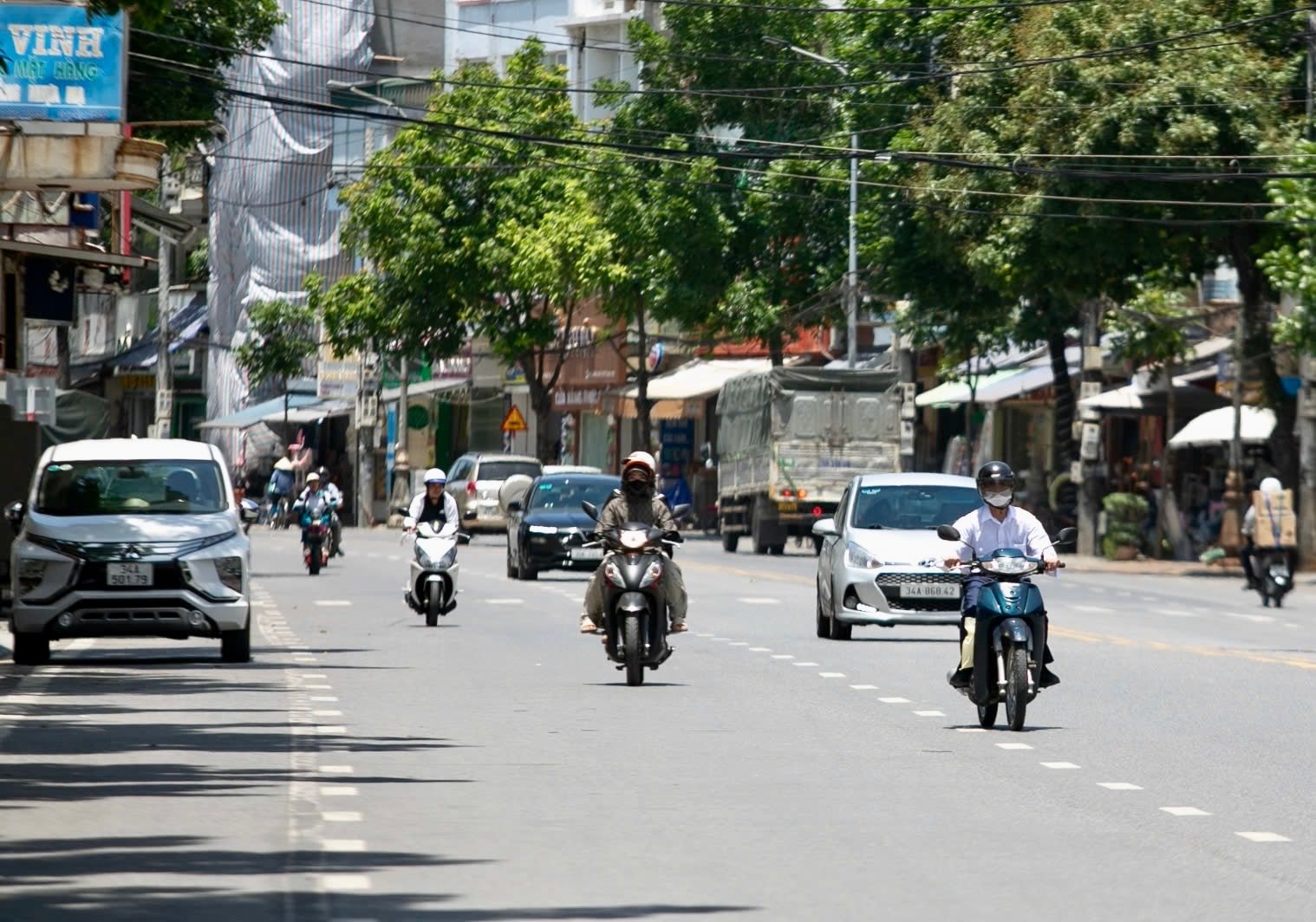
Northern Vietnam is experiencing a rise in temperatures, with forecasts predicting a shift towards cooler conditions later this week. While much of the region basks in unseasonably warm weather, residents are bracing for a potential cold snap as a weak cold front moves in. This fluctuation in temperatures, coupled with localized rainfall and fog, presents challenges for agriculture and daily life across the region.
The current warm spell, characterized by temperatures exceeding 30°C (86°F) in some areas, is attributed to a low-pressure system developing to the west and extending eastward, according to reports from March 19th. This has brought clear skies and sunshine to many parts of the north, following a morning of fog and drizzle. However, this warmth is expected to be short-lived, with a cold front anticipated to bring rain and potential thunderstorms to mountainous and midland areas beginning March 21st and 22nd.
Temperature Fluctuations and Regional Forecasts
Hanoi, the capital city, experienced cloudy mornings on March 19th with scattered light rain and fog, giving way to sunshine in the afternoon. Temperatures ranged from a minimum of 21°C to 23°C (70°F to 73°F), rising to a maximum of 26°C to 28°C (79°F to 82°F). This pattern is expected to persist through March 20th. However, as a weak cold front approaches between March 20th and 23rd, Hanoi will likely see cloud cover and scattered light rain, with temperatures dropping by 1-2°C. The National Center for Hydrometeorological Forecasting (NCHMF) provides detailed, up-to-date weather information for the region.
The northwest region is also experiencing a similar pattern, with scattered showers and thunderstorms expected in the evening and overnight, accompanied by fog and drizzle in the early morning. Daytime conditions will be sunny, with temperatures ranging from 19°C to 22°C (66°F to 72°F), potentially dropping below 16°C (61°F) in some areas. Maximum temperatures could reach 25°C to 28°C (77°F to 82°F), with peaks exceeding 30°C (86°F) in localized areas. The northeast region will see similar conditions, with temperatures ranging from 19°C to 22°C (66°F to 72°F) and potentially dropping below 18°C (64°F) in mountainous areas. Maximum temperatures are expected to reach 25°C to 28°C (77°F to 82°F).
From Thanh Hoa to Hue, scattered showers are anticipated in the mornings, followed by sunny afternoons. Northern areas may experience scattered showers and thunderstorms in the evening and overnight. Temperatures will range from 20°C to 23°C (68°F to 73°F) with maximums of 26°C to 29°C (79°F to 84°F). The central coastal region will experience scattered showers and thunderstorms overnight, with sunny days and winds from the northeast to east at 2-3 m/s. Temperatures will range from 21°C to 24°C (70°F to 75°F) with maximums of 28°C to 31°C (82°F to 88°F).
Impact on Agriculture and Daily Life
The fluctuating temperatures pose challenges for agricultural activities in the region. The Central Highlands are experiencing scattered showers and thunderstorms at night, with sunny days. Nights and early mornings are cool, and there is a risk of tornadoes, lightning, and strong wind gusts during thunderstorms. Minimum temperatures will range from 17°C to 20°C (63°F to 68°F), while maximum temperatures will reach 29°C to 32°C (84°F to 90°F). In the south, scattered showers and thunderstorms are expected at night, with sunny days. The east of the country is experiencing hot weather. Winds will be from the northeast to east at 2-3 m/s, with a risk of tornadoes, lightning, and strong wind gusts during thunderstorms. Minimum temperatures will be 22°C to 25°C (72°F to 77°F), potentially dropping below 22°C (72°F) in some areas, and maximum temperatures will be 31°C to 34°C (88°F to 93°F), exceeding 35°C (95°F) in the east.
Ho Chi Minh City is anticipating scattered showers and thunderstorms overnight, followed by sunny days. Winds will be from the northeast to east at 2-3 m/s, with a risk of tornadoes, lightning, and strong wind gusts during thunderstorms. Minimum temperatures will range from 23°C to 25°C (73°F to 77°F), and maximum temperatures will reach 32°C to 34°C (90°F to 93°F), potentially exceeding 34°C (93°F) in some areas. These conditions require vigilance, particularly during thunderstorms, to mitigate risks associated with severe weather.
Preparing for the Cold Front
The approaching cold front necessitates preparation, particularly for vulnerable populations. Farmers are advised to protect crops from potential damage due to the temperature drop and increased rainfall. Residents are encouraged to secure loose objects, stay informed about weather updates, and accept precautions during thunderstorms. The potential for localized flooding in low-lying areas also warrants attention. Staying informed through reliable sources like Vietnam.vn is crucial for navigating these changing conditions.
Key Takeaways
- Northern Vietnam is currently experiencing a period of warm weather, but a cold front is expected to bring cooler temperatures and rainfall starting March 21st.
- Temperatures will fluctuate significantly across the region, with potential drops of 1-2°C as the cold front moves in.
- Scattered showers and thunderstorms are anticipated in many areas, particularly at night, with a risk of severe weather events like tornadoes and lightning.
- Agricultural activities may be impacted by the changing conditions, requiring farmers to take protective measures.
- Residents are advised to stay informed about weather updates and take necessary precautions to ensure their safety.
The National Center for Hydrometeorological Forecasting will continue to monitor the situation and provide updated forecasts. The next official update is scheduled for March 22nd, providing a more detailed assessment of the cold front’s impact. Stay tuned to World Today Journal for ongoing coverage of this developing weather situation. We encourage readers to share their experiences and insights in the comments below.