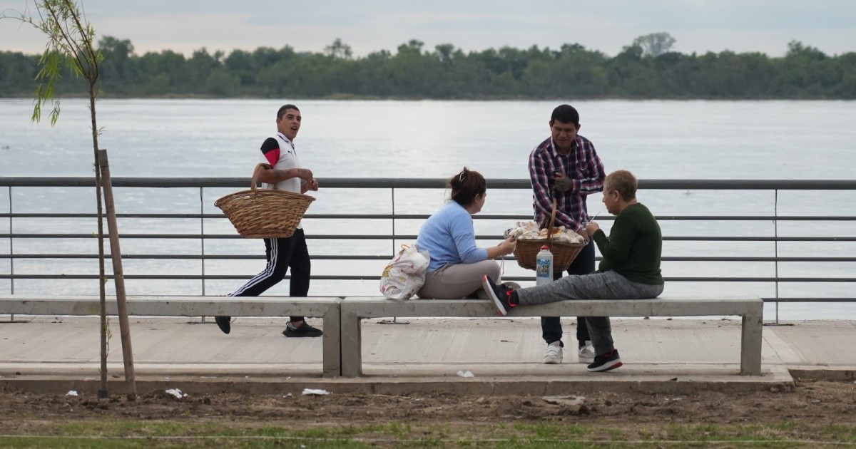
Residents in Rosario, Argentina, are bracing for a sharp meteorological transition following an unseasonably warm afternoon where temperatures climbed to 27 degrees Celsius (80.6 degrees Fahrenheit). The National Meteorological Service (Servicio Meteorológico Nacional, or SMN) has issued alerts for the coming hours, signaling a definitive end to the brief period of spring-like conditions as a cold front moves across the region.
This weather shift follows a period of thermal amplitude that saw local temperatures soar well above the seasonal average for mid-winter. According to the Servicio Meteorológico Nacional, the arrival of a cold front is expected to trigger widespread instability, bringing a drop in temperatures and the potential for severe weather events, including thunderstorms and gusty winds, throughout the Santa Fe province.
Understanding the Meteorological Transition
The spike in temperature recorded earlier this week is a result of a warm air mass moving in from the north, a phenomenon not uncommon in the Argentine winter, though the intensity reached in Rosario was notably high. Atmospheric instability is now increasing as this warm, humid air mass meets an advancing cold front from the south. Meteorologists at the SMN alert portal categorize these transitions as high-risk periods for rapid atmospheric changes, often resulting in localized heavy precipitation and sudden shifts in wind direction.

For those living in the Rosario metropolitan area, the primary concern is the potential for significant temperature oscillation. While the region experienced summer-like warmth, the incoming system is projected to return the area to standard winter conditions. The official forecast suggests that after the passage of the storm system, the mercury will likely struggle to reach the mid-teens, a stark contrast to the 27-degree peaks observed just hours prior.
Impacts and Safety Advisories
Official guidance from civil defense authorities emphasizes the importance of monitoring local weather updates as the front progresses. The SMN maintains a live alert system that tracks the trajectory of severe weather, providing real-time data on wind speeds, hail probability, and precipitation accumulation. Authorities typically advise residents to secure loose outdoor objects and stay informed through official government channels to avoid misinformation regarding the severity of the incoming storms.
The fluctuation between extreme warmth and sudden cold fronts can also pose challenges for local infrastructure, particularly regarding energy demand. Historically, such shifts cause a spike in electricity usage as heating systems are activated following a period of unseasonable warmth. The National Secretariat for Comprehensive Risk Management provides resources for citizens to prepare for weather-related service interruptions and emergency procedures during high-instability events.
What Happens Next: Monitoring the Cold Front
The current forecast indicates that the period of instability will persist through the next 24 to 48 hours. As the cold front clears the central region of Argentina, the atmosphere is expected to stabilize, leading to clearer skies but significantly lower temperatures. Residents are encouraged to check the official SMN website regularly for updates on specific weather alerts, which are updated every few hours based on satellite imagery and ground-station readings.
This cycle of meteorological change serves as a reminder of the volatile nature of the South American winter climate. As the front passes, the focus for regional authorities will shift toward monitoring precipitation levels and any potential impact on agricultural zones surrounding Rosario. For further updates on how this weather pattern develops, please share your experiences or questions in the comments section below.
Keep reading