While global reliance on digital satellite navigation has surged, paper maps remain a critical tool for travelers, emergency responders, and outdoor enthusiasts who prioritize reliability over connectivity. Despite the ubiquity of smartphone-based GPS, the physical atlas provides a consistent, battery-independent reference that functions in areas where cellular service and satellite signals often fail. According to the National Park Service, paper maps are frequently recommended for visitors in remote wilderness areas, where terrain features can interfere with electronic devices and power sources are unavailable.
The enduring utility of paper maps rests on their unique ability to provide a comprehensive, high-level view of geography that a smartphone screen cannot replicate. While digital interfaces often require zooming and scrolling—which can obscure the broader context of a journey—a printed map offers a static, wide-angle perspective. This structural advantage is particularly valued by long-distance travelers and professionals in logistics and search-and-rescue operations. As reported by the BBC, there has been a documented uptick in the sales of physical maps, driven in part by a growing desire for “digital detox” experiences and a realization of the risks associated with total technological dependence.
Why Digital Systems Encounter Limitations
The primary vulnerability of GPS technology is its reliance on stable infrastructure. Digital navigation systems require constant power, satellite line-of-sight, and, in many cases, cellular data to download real-time traffic or map updates. In remote regions, such as the U.S. Department of the Interior’s vast network of public lands, signal loss is a common occurrence. When a device loses its connection, offline maps may be available, but they often lack the granular detail or the ability to re-route effectively compared to a physical map that covers a large geographic area.
Furthermore, hardware failure remains a persistent risk. Extreme temperatures—whether the freezing cold of high-altitude mountain passes or the intense heat of desert environments—can cause lithium-ion batteries to drain rapidly or cause devices to shut down entirely. Paper, by contrast, is impervious to software updates, operating system glitches, or screen glare. It serves as a fail-safe, ensuring that navigation remains possible regardless of environmental conditions or battery levels.
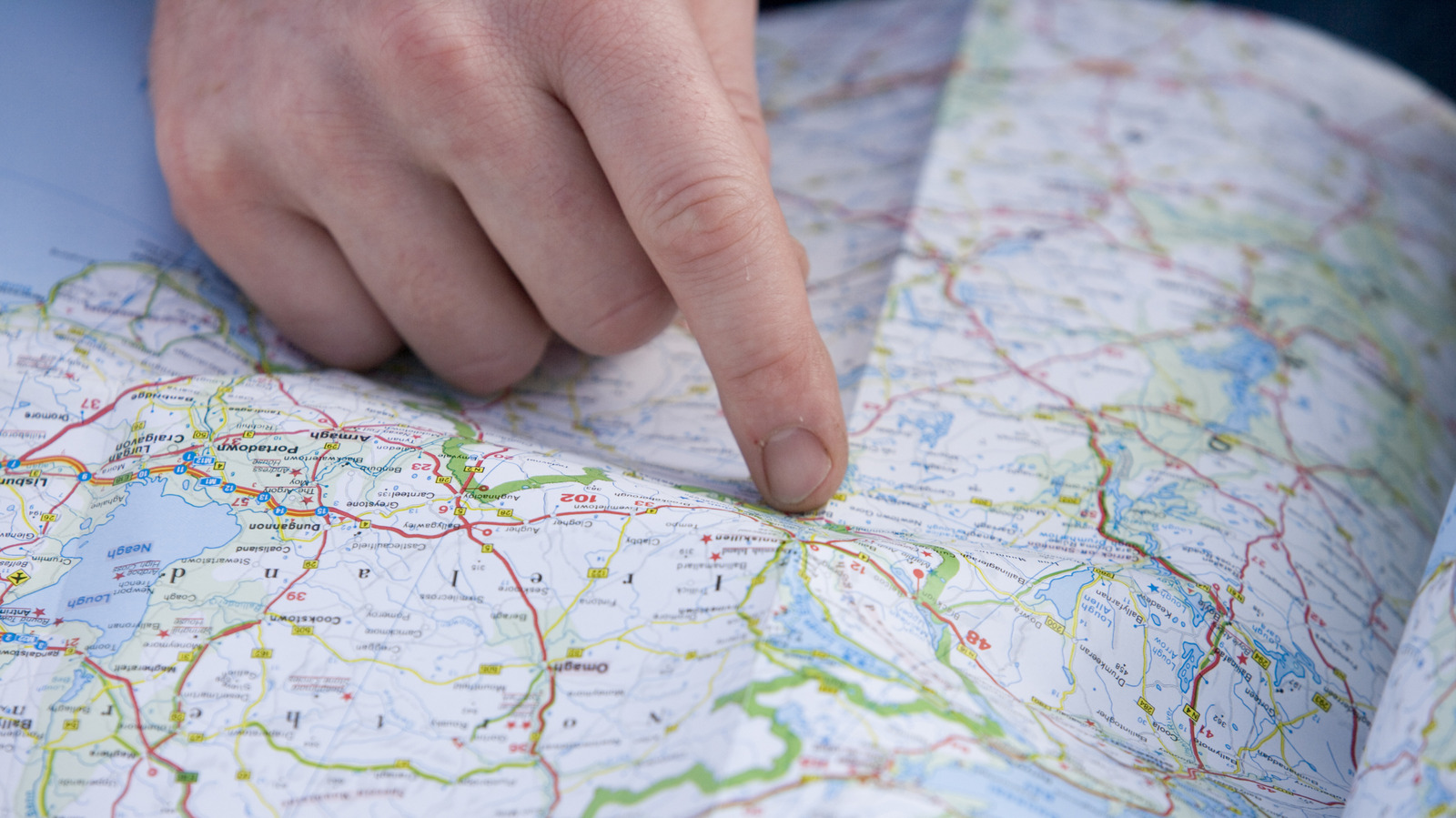
Psychological and Cognitive Benefits of Physical Navigation
Beyond technical redundancy, the use of paper maps engages different cognitive processes than digital systems. Research into spatial cognition, such as studies cited by Scientific American, suggests that the act of actively interpreting a physical map helps users build a “cognitive map”—a mental representation of the environment. In contrast, “turn-by-turn” GPS instructions encourage a passive mode of travel, where the user follows commands without necessarily internalizing the relationship between landmarks or understanding the spatial layout of the route.

This engagement with the environment is often cited by outdoor recreationists as a key component of their activity. For many, the process of planning a route on a physical map is part of the experience itself. It encourages a deeper awareness of distance, scale, and terrain, which are often abstracted or hidden by the automated nature of digital navigation.
The Role of Maps in Emergency Preparedness
In the field of emergency management, physical maps are considered an essential backup. When natural disasters strike, cellular networks are often the first infrastructure to fail. In scenarios involving wildfires, hurricanes, or earthquakes, emergency responders rely on standardized paper maps to coordinate efforts when electronic communication systems are compromised. The Federal Emergency Management Agency (FEMA) consistently emphasizes that households should maintain physical copies of local maps as part of their emergency preparedness kits, ensuring that families can find evacuation routes even when power and internet are unavailable.
The resilience of paper is also a matter of accessibility. Unlike digital devices, which require a certain level of technical literacy to operate, a paper map is universally accessible. It does not require a subscription, a software license, or a specific brand of hardware. For global travelers, this neutrality makes the paper map a reliable constant in an ever-shifting landscape of proprietary software and hardware standards.
Looking Ahead: The Continued Coexistence of Tools
The future of navigation is not a binary choice between digital and analog, but rather an integrated approach. Most experienced travelers and professionals now carry both: the speed and convenience of GPS for day-to-day navigation, and the reliability of a paper map for contingency planning. As we look to future developments in geolocation, the focus remains on redundancy. Regulatory bodies and safety organizations continue to stress that reliance on a single point of failure—such as a smartphone—is a significant risk factor in remote or high-stakes environments.
The next major update regarding official mapping standards and emergency response protocols will be discussed during the upcoming Federal Geographic Data Committee meetings, where stakeholders will review strategies for maintaining robust spatial data access in disaster-prone regions. Readers are encouraged to share their own experiences with navigation tools in the comments section below and join our mailing list for updates on travel safety and technology trends.