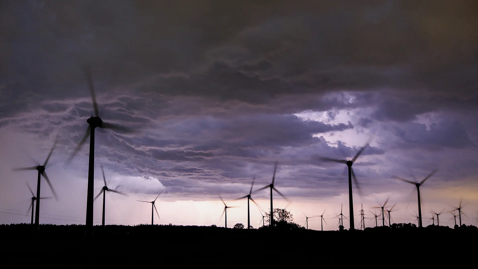
As we monitor the changing meteorological landscape across Northern Europe, residents in Lower Saxony are being advised to prepare for a swift shift in weather conditions. The German Weather Service, known as the Deutscher Wetterdienst (DWD), has issued a series of official weather warnings for the region, signaling that the current period of sunshine is likely to give way to organized thunderstorm activity, heavy rainfall, and potential wind gusts.
For those living or traveling in the northern parts of Germany, these fluctuations are a reminder of how quickly atmospheric pressure systems can alter local conditions. While the morning may offer clear skies, the development of convective cells—common during these transitionary periods—can lead to localized flooding and traffic disruptions. Understanding how to interpret these alerts is essential for maintaining safety during the transit of these weather fronts.
Understanding the Meteorological Risks in Northern Germany
The DWD has highlighted that the primary threats associated with the incoming front include heavy rain, which can overwhelm local drainage systems, and strong wind gusts that may pose risks to commuters and outdoor infrastructure. According to the official DWD advisory framework, these warnings are categorized by intensity, with Level 3 or 4 alerts usually indicating a significant risk to life, and property. Residents are encouraged to monitor the specific warnings for their district, as intensity can vary significantly over short distances.

In terms of regional impact, Lower Saxony’s geographical position—bordering the North Sea and extending into the lowlands—makes it particularly susceptible to rapid cloud formation when warm, humid air masses clash with cooler maritime air. This “clash” is what meteorologists refer to as a convergence zone, which serves as the trigger for the severe thunderstorms currently anticipated by regional forecasting models.
Safety Measures and Preparedness
When severe weather is forecasted, the most effective strategy is proactive preparation. The DWD and local emergency services recommend that individuals secure loose items in gardens, such as furniture or decorative objects, which can become projectiles during high-wind events. If you are driving during a heavy downpour, reducing speed and increasing the distance between vehicles is a standard safety mandate to account for reduced visibility and hydroplaning risks.
For those interested in the most current data, the DWD community-level warning portal provides real-time updates that are far more accurate than generic regional forecasts. These alerts are updated dynamically; what appears as a moderate risk at midday can be upgraded to a severe warning within hours as radar data is processed.
Key Takeaways for Residents
- Monitor Official Sources: Always check the DWD website or mobile app for the latest alerts specific to your municipality.
- Secure Property: Move outdoor equipment indoors or anchor it firmly if high winds are forecasted.
- Travel Caution: Avoid unnecessary travel during the peak of a thunderstorm, especially in low-lying areas prone to flash flooding.
- Stay Informed: Keep a battery-powered radio or a fully charged device with access to weather updates in case of power outages.
The Broader Context of Regional Weather Patterns
The current volatility in Northern Germany is consistent with broader shifts in European climate patterns, where extreme weather events—including intense convective storms—have become a frequent topic of analysis for climate scientists. While a single storm event cannot be attributed to long-term climate change, the increasing frequency of such occurrences is being closely tracked by the German Environment Agency to better understand how infrastructure needs to adapt to these new “normal” conditions.

As we look ahead, the immediate focus remains on the next 24 to 48 hours. The DWD continues to update its local weather reports, which provide the most granular detail on where and when the storm cells are expected to dissipate. We encourage all our readers in the affected regions to remain vigilant and prioritize safety over convenience during these weather events.
We will continue to track these developments as official updates become available from the German meteorological authorities. Have you experienced sudden weather changes in your area today? Please feel free to share your observations or questions in the comments section below, and ensure you are following our social channels for the latest updates as they break.