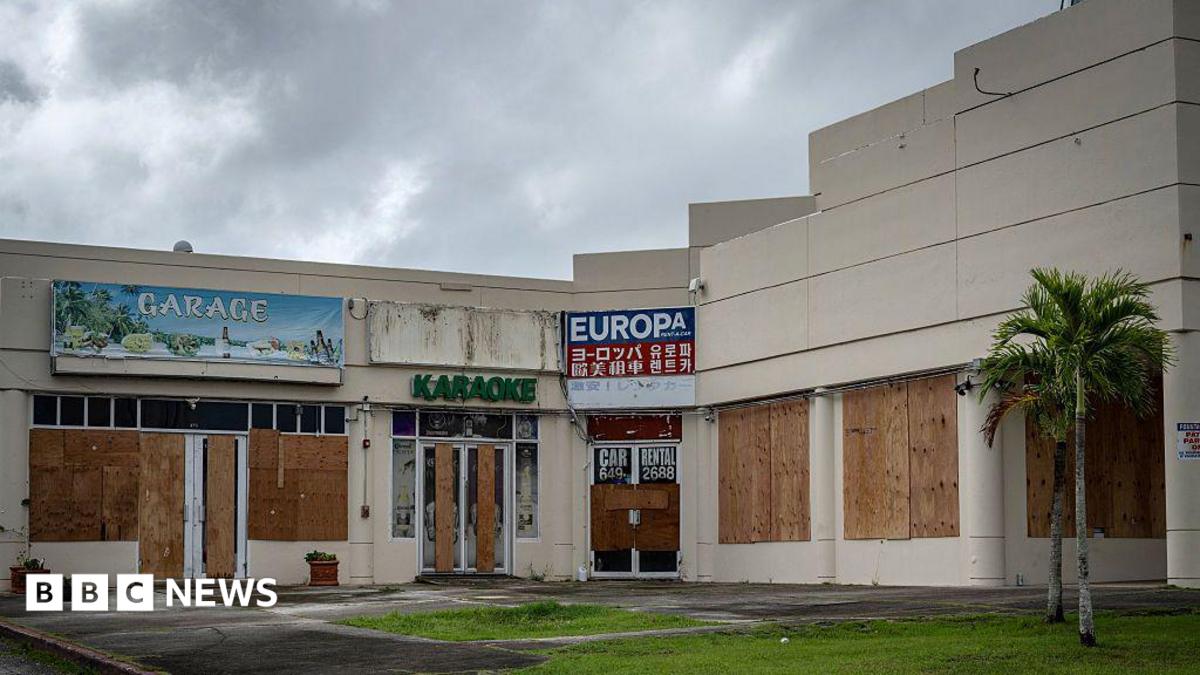
Super Typhoon Bavi, a powerful weather system packing sustained winds of approximately 290 kilometers per hour (180 mph) and gusts reaching 350 kilometers per hour, has made a direct impact on the Northern Mariana Islands, including the island of Rota. According to the National Weather Service (NWS) office in Guam, the storm forced emergency evacuations and prompted urgent warnings as it tracked through the Pacific, bringing life-threatening conditions to the U.S. territory.
The intensifying storm, which meteorologists categorized as a major typhoon, has caused significant disruptions to infrastructure and local services across the region. Officials have focused on securing critical facilities and ensuring the safety of residents as the system passed through the island chain. The NWS regularly updates its official public advisories to track the storm’s trajectory and intensity, providing the latest data for regional disaster management teams.
Impact on Rota and the Northern Mariana Islands
Rota, a key island in the Northern Mariana archipelago, experienced the brunt of the storm’s eyewall, leading to extensive power outages and structural damage. Local government agencies, working alongside federal disaster responders, have initiated preliminary assessments of the affected areas. According to reports from the Commonwealth of the Northern Mariana Islands (CNMI) Office of the Governor, the focus remains on clearing debris from main transit routes and restoring essential utilities to residential sectors.

The wind speeds recorded during the event categorize the system as a high-end storm, capable of causing catastrophic damage to infrastructure. Residents were advised to remain in secure shelters until the official “all-clear” was issued by emergency management authorities. Real-time updates regarding shelter status and emergency service availability can be verified through the CNMI Homeland Security and Emergency Management portal.
Meteorological Context and Storm Development
Super Typhoon Bavi’s rapid intensification is a subject of ongoing analysis by regional climate experts. The storm’s ability to sustain such high wind speeds is often linked to favorable atmospheric conditions and warm sea surface temperatures in the Western Pacific. The Japan Meteorological Agency (JMA), which acts as a regional specialized meteorological center, provides comprehensive data on tropical cyclone development, noting that storms of this magnitude require precise monitoring to predict potential shifts in path or intensity.
While the storm has significantly impacted the islands, the long-term economic and infrastructural toll is still being calculated. Local authorities are expected to release detailed damage reports in the coming weeks, which will determine the scale of federal aid required for recovery. For ongoing meteorological data and satellite imagery, the Joint Typhoon Warning Center (JTWC) remains the primary source for technical analysis of Pacific weather systems.
Safety Guidance and Recovery Resources
For individuals and businesses attempting to navigate the aftermath of the storm, official channels remain the most reliable source of information. The Federal Emergency Management Agency (FEMA) provides resources for disaster recovery, including information on how to file claims and access emergency financial assistance. It is essential for residents to avoid entering damaged structures until they have been inspected by municipal authorities to ensure public safety.

Community members are encouraged to monitor local radio broadcasts and official social media channels for updates on service restorations. The next official briefing from local emergency management authorities is expected to address the transition from the emergency response phase to the recovery and reconstruction period. We invite our readers to share their experiences or updates from the region in the comments section below, ensuring that community-level information remains visible to those coordinating relief efforts.