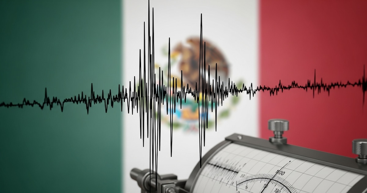
Mexico’s seismic activity remains a consistent point of monitoring for both residents and emergency management authorities as of July 8, 2026. The National Seismological Service (SSN), operated by the National Autonomous University of Mexico (UNAM), continues to track tremors across the country, with recent data showing localized activity in regions including Jalisco and the coastal areas of the Mexican Pacific. While seismic events are a daily occurrence in the nation due to its location on the Pacific Ring of Fire, officials emphasize that the majority of these movements are low-magnitude and often go unnoticed by the public.
According to reports from the National Seismological Service (SSN), the country experiences frequent tectonic adjustments, particularly along the subduction zones where the Cocos and North American plates interact. For residents in Mexico City and other high-risk zones, the primary utility for tracking these events is the official National Center for Disaster Prevention (CENAPRED), which provides real-time updates and safety protocols. Staying informed through these verified channels is recommended over social media speculation, which can often misidentify the location or intensity of seismic activity.
Understanding Regional Seismic Patterns
Seismic activity is not uniform across the Mexican Republic. The southern and central states, specifically Oaxaca, Guerrero, and Chiapas, frequently record higher frequencies of tremors compared to the northern territories. This is attributed to the complex intersection of several tectonic plates, a reality that necessitates the strict enforcement of building codes and regular civil protection drills. The SASMEX (Mexican Seismic Alert System) serves as the primary early warning mechanism for major urban centers, triggered when sensors detect seismic waves that exceed a specific threshold of intensity.

When a tremor occurs, the focus for authorities is to verify the epicenter and the depth of the event. Shallow earthquakes are typically felt more intensely by the population, even if their magnitude is relatively low. Official data published by the SSN consistently highlights that magnitude alone does not dictate the level of risk; depth, proximity to populated areas, and soil composition—particularly in the soft, lakebed-derived soil of the Valley of Mexico—play critical roles in how a tremor is experienced.
Safety Protocols and Public Preparedness
Public safety in Mexico is managed through a layered approach involving federal, state, and municipal agencies. The National Coordination of Civil Protection encourages citizens to maintain a “family emergency plan” and an “emergency backpack” (mochila de emergencia) which should include essential documents, water, non-perishable food, and a battery-powered radio. These measures are intended to ensure resilience during the immediate aftermath of a significant event.
It is important to note that no scientific method currently exists to predict the exact time, location, or magnitude of a future earthquake. Any claims suggesting otherwise are considered pseudoscientific by geological experts. Reliable information is exclusively disseminated through the official channels of the National Seismological Service and the National Center for Disaster Prevention. Residents are encouraged to follow these institutions on official platforms for the most accurate, real-time reporting.
Monitoring Ongoing Activity
As of July 8, 2026, the SSN continues to update its public database with the latest seismic logs. These reports are generated automatically and then verified by seismologists to ensure accuracy in magnitude and epicenter location. For those living in areas of high seismic risk, the recommendation remains to treat every alarm with seriousness and to follow established evacuation routes without panic.

The next scheduled status update regarding regional seismic trends will be provided by the SSN in their daily summary report. For continued monitoring, the public can access the official SSN website or use the government-approved mobile applications designed to receive alerts directly from the seismic sensor network. We encourage readers to share this information with their local communities and to consult official government guidelines for the most current safety advisories.