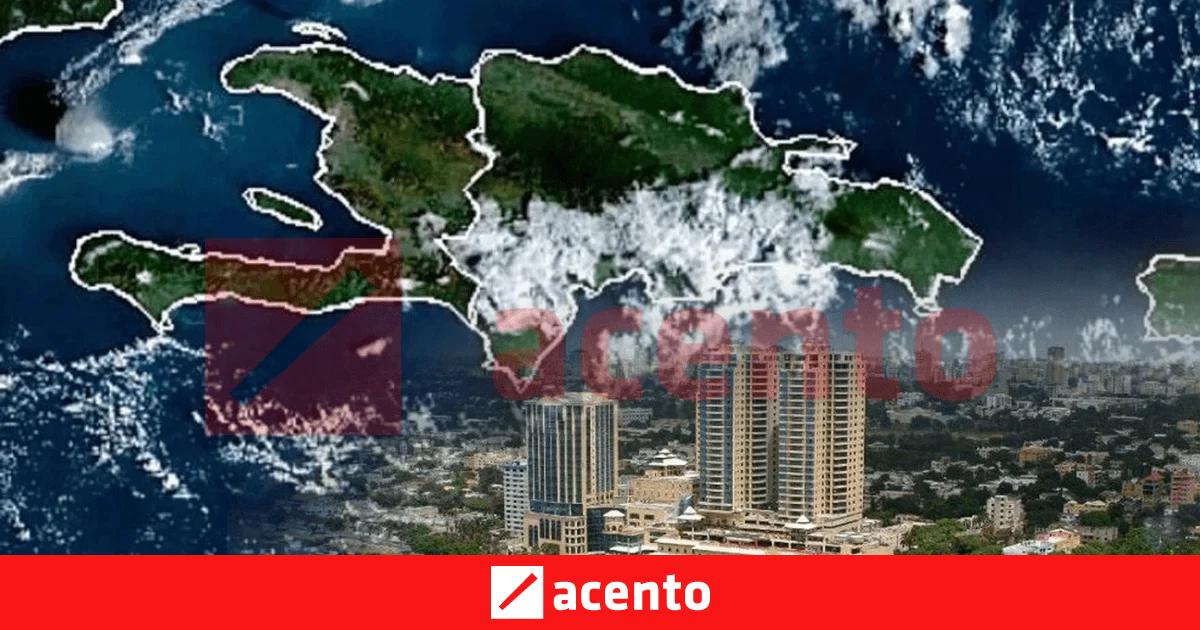
Residents and visitors in Santo Domingo, Dominican Republic, should prepare for variable weather conditions this weekend as the National Meteorological Office (ONAMET) monitors shifting atmospheric patterns. According to the latest bulletins from ONAMET, the state agency responsible for monitoring seismic and meteorological activity in the country, the forecast indicates a mix of sunshine and localized precipitation, typical for the Caribbean climate during this transition period.
Planning outdoor activities requires close attention to daily updates, as tropical moisture often leads to rapid developments. As of the most recent data provided by the Dominican Republic Meteorological Service, local authorities advise citizens to stay informed through official channels to avoid weather-related disruptions to travel or weekend events. While the capital city often experiences high humidity, current models suggest that any rainfall will likely be concentrated in the late afternoon or early evening hours.
Understanding Current Weather Patterns in Santo Domingo
The climate in the Dominican Republic is heavily influenced by trade winds and the island’s unique topography. According to historical climate data published by the World Bank Group’s Climate Change Knowledge Portal, Santo Domingo experiences a tropical monsoon climate, which keeps temperatures relatively stable year-round but introduces significant variability in rainfall intensity. This weekend, the interaction between local thermal heating and moisture transport from the Caribbean Sea remains the primary driver for daily weather shifts.

Meteorologists frequently emphasize that “last-minute” changes are common in the tropics. Official guidance from the Emergency Operations Center (COE) suggests that residents keep an eye on wind speeds and potential cloud cover, which can provide early indicators of passing showers. For those planning transit through the Greater Santo Domingo area, checking real-time satellite imagery via the official ONAMET daily report is the most reliable method to ensure travel remains uninterrupted.
Practical Tips for Weekend Planning
To mitigate the impact of sudden tropical downpours, experts suggest a few proactive strategies for residents and tourists alike:
- Monitor Official Advisories: Rely exclusively on ONAMET or the COE for alerts, as social media rumors regarding weather severity can often be inaccurate.
- Plan for Afternoon Shifts: If organizing outdoor events, scheduling activities for the morning hours is generally safer, as convective rainfall often develops as temperatures peak in the afternoon.
- Check Transport Updates: Urban drainage systems in Santo Domingo can occasionally face pressure during intense rain events; checking local traffic reports alongside weather forecasts is recommended.
The Dominican Republic Ministry of Tourism provides supplemental guidance for travelers, noting that while the weather can be unpredictable, the island’s infrastructure is generally well-equipped to handle standard seasonal fluctuations. Visitors are encouraged to maintain flexible itineraries, allowing for brief indoor transitions should localized rain occur.
Official Resources and Next Steps
The most important step for those in Santo Domingo is to verify the weather status immediately before departing for any weekend destination. The National Meteorological Office (ONAMET) updates its forecasts multiple times daily. These updates reflect the most current atmospheric pressure readings and satellite data available to the government.

The next official update is scheduled for the early morning hours of the coming week, unless a severe weather alert is issued by the Emergency Operations Center, which would trigger immediate public notifications. Readers are encouraged to share this information with those traveling in the region to ensure everyone stays updated on the latest environmental conditions. If you have questions regarding specific weather impacts in your neighborhood, please check the local government’s social media feeds for the most recent community-level advisories.