Arizona’s Sinking Land: Understanding Groundwater Depletion and What’s Being Done
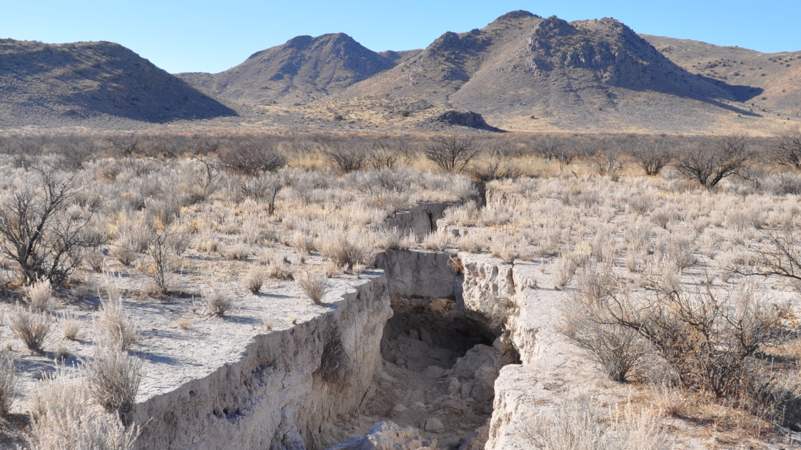
Parts of Arizona are quite literally sinking,and it’s a growing concern tied directly to how we manage – and overuse – groundwater resources. Recent research highlights alarming rates of land subsidence in the Willcox Basin, a critical agricultural area in southern Arizona.But what’s causing this, and what can be done to address it? Let’s break down the issue.
The Problem: Land Subsidence Explained
Land subsidence, or the sinking of the ground surface, isn’t a new phenomenon. Tho, the rate and extent of sinking in areas like the Willcox Basin are raising red flags. The primary culprit? Excessive groundwater pumping.
Here’s how it works:
* Groundwater as Support: Beneath the surface, layers of sediment and soil are often saturated with water. This water pressure helps support the land above.
* Water removal & Compaction: When large amounts of groundwater are pumped out for irrigation or municipal use, that support diminishes. The weight of the overlying land then compacts the subsurface materials.
* Sinking Surfaces: As explained by the geological Society of America (https://www.geosociety.org/GSA/News/pr/2025/25-19.aspx),this compaction leads to a sinking of the land surface.
Recent studies show some areas within the Willcox Basin have dropped nearly 3 feet (1 meter) between 2017 and 2021. That’s a significant amount of land movement in a relatively short period.
How Scientists are Measuring the Sink
Researchers are utilizing advanced technology to monitor this subsidence. Danielle Smilovsky, a researcher at the Conrad blucher Institute at Texas A&M University-Corpus Christi, employed a technique called Interferometric synthetic Aperture Radar (InSAR).
InSAR uses satellite data to precisely measure changes in ground elevation. By comparing multiple satellite readings over time, scientists can detect even subtle shifts in the Earth’s surface. This provides a crucial, large-scale view of subsidence patterns.
Why Rain Isn’t a Rapid Fix
You might think heavy rainfall would replenish groundwater and halt the sinking. Unluckily,that’s not the case. while the unusually wet conditions of 2022 and early 2023 did temporarily raise groundwater levels, the land continued to sink - and even sped up in some areas.
This demonstrates that natural recharge alone isn’t enough to counteract the effects of ongoing groundwater extraction. The rate of pumping simply exceeds the rate at which the aquifer can naturally replenish.
What’s Being Done: Active Management Areas
Fortunately, steps are being taken to address the problem. In 2024, arizona policymakers designated the Willcox Basin as an Active Management Area (AMA). This is a critical move.
AMAs are regions where groundwater pumping is regulated to ensure long-term sustainability. While the specific details of the Willcox Basin’s management plan are still being finalized, the state has a proven track record with this approach.
* Success in Phoenix & tucson: Similar AMAs in the phoenix and tucson areas have demonstrably slowed – and in certain specific cases, reversed – land subsidence.Groundwater levels are recovering, and sinking rates have decreased substantially. In Tucson, subsidence has virtually stopped thanks to effective groundwater management.
* Looking Ahead: You can find details on similar plans here: https://infoshare.azwater.gov/docushare/dsweb/Get/Document-10038/TAMA_4MP_Complete.pdf
A Cautious Outlook
While AMAs offer hope, it’s significant to be realistic. As Smilovsky points out, fully stopping subsidence may not be possible. However, a well-managed AMA can significantly slow the rate of sinking, preserving the basin’s ability to store groundwater for future generations.
Ultimately, addressing land subsidence requires a
Related reading