
The Earth’s magnetic north pole has drifted more than 2,200 kilometers from its officially identified location in 1831, prompting scientists to release a crucial update to global navigation systems. According to La Nación, this continuous shift of the magnetic field has forced international organizations, aviation authorities, and maritime operators to adapt to changes that directly impact long-distance travel and precise positioning technologies.
Unlike the geographic north pole, which sits on a fixed axis of rotation, the magnetic north pole moves constantly due to swirling currents of liquid iron within the Earth’s outer core. As the magnetic point migrates closer to Siberia than the Canadian Arctic, standard compasses and digital mapping tools require constant calibration. While everyday smartphone users and local commuters will notice virtually no change in their daily routines, the adjustment is vital for industries where a single miscalculation can throw off a route by several dozen kilometers.
To address these shifts, the National Oceanic and Atmospheric Administration (NOAA) alongside the British Geological Survey developed the World Magnetic Model 2025 (WMM2025). Released in December 2024 and scheduled to remain valid through the end of 2029, this updated framework serves as the official navigational reference for military forces, commercial shipping fleets, and civil aviation authorities worldwide, as reported by La Nación Argentina.
Navigational Challenges in Polar and Oceanic Routes
The necessity for updated navigational data stems from the cumulative errors that can develop during extended journeys. According to La Nación, transcontinental flights, open-ocean vessel transits, and polar explorations rely heavily on accurate directional measurements to maintain strict course headings. Without regular revisions to magnetic models, aircraft and ships risk drifting off their planned trajectories.
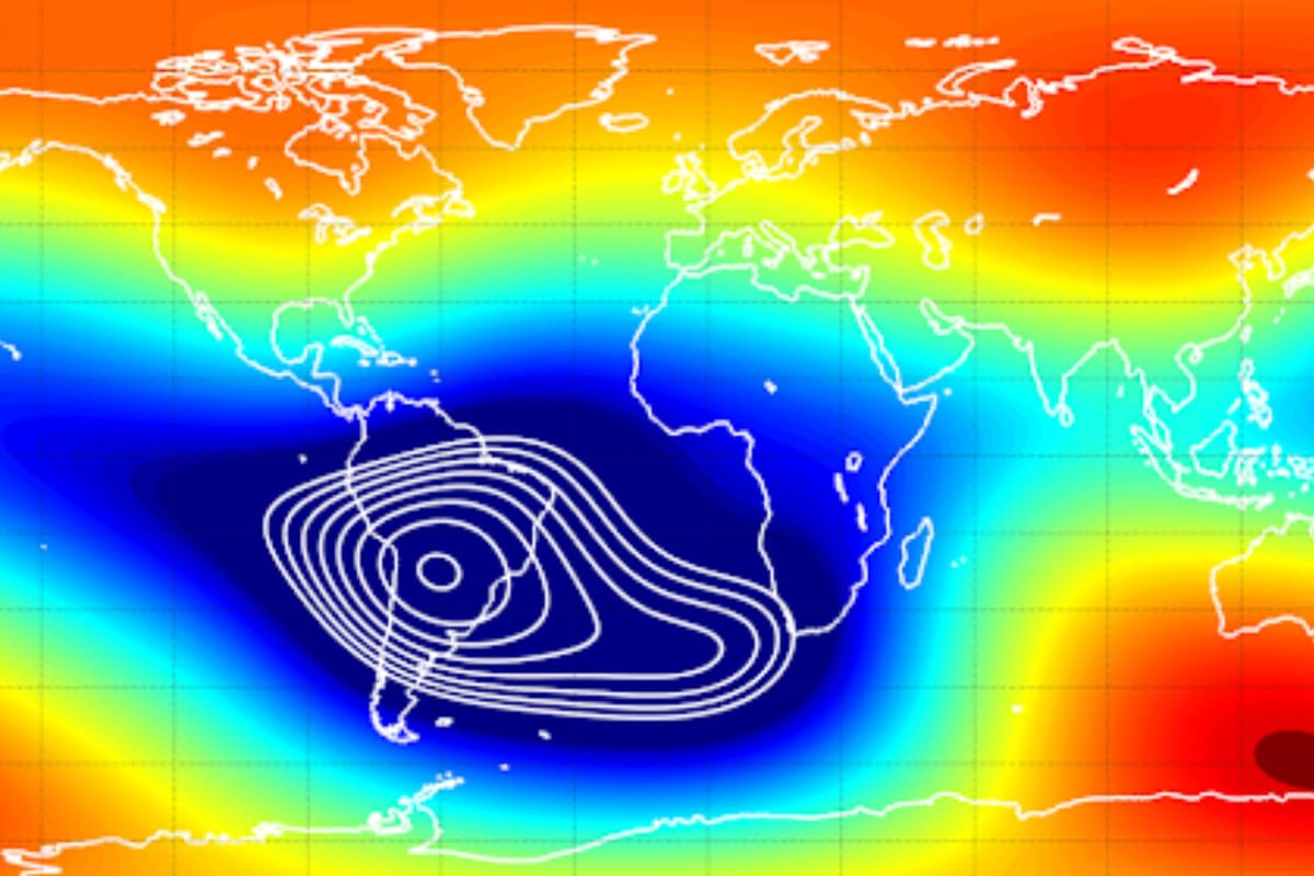
The latest modeling framework also integrates data regarding magnetic blackout zones located near the poles. In these sensitive sectors, conventional compasses lose reliability, making specialized navigational tools essential for scientific missions and polar aviation. Governments and international bodies such as NATO utilize these datasets to plan secure routes and maintain operational safety across remote regions.
Furthermore, the WMM2025 rollout introduces a high-resolution version designated as WMMHR2025. This enhancement dramatically sharpens the model’s precision, shrinking resolution parameters from approximately 3,300 kilometers down to roughly 300 kilometers at the equator. This technological leap provides a clearer picture of regional magnetic anomalies, particularly benefiting complex maritime and aerial operations.
Deceleration of the Magnetic Pole’s Movement
Alongside its long-term migration, scientists have documented a notable shift in the speed at which the magnetic north pole travels. For years, the pole advanced at a rapid pace of 50 to 60 kilometers annually. However, recent tracking data cited by La Nación Argentina reveals that this velocity has slowed to approximately 35 kilometers per year.
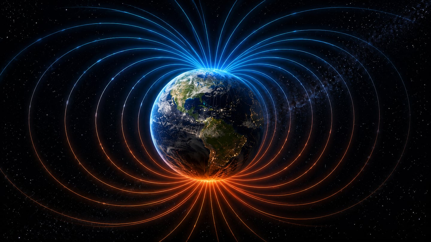
Geophysicists characterize this trend as the most significant deceleration recorded since systematic tracking began. While the slowing pace occurs gradually, it remains an essential variable for geophysicists modeling core dynamics and updating global positioning infrastructure. The interaction between fluid movements in the Earth’s outer core and the resulting magnetic shield continues to demand rigorous, continuous observation from international scientific consortia.
Organizations and transport operators relying on these navigational frameworks are instructed to integrate the WMM2025 updates into their flight management systems and marine software before operating in high-latitude environments. Public inquiries regarding navigational safety standards and model specifications can be directed to official updates published by the NOAA National Centers for Environmental Information.