
Meteorological services across Northern Germany are monitoring a persistent pattern of extreme weather as high temperatures continue to impact the region, despite brief interruptions from localized thunderstorms. The German Weather Service (Deutscher Wetterdienst, or DWD) has issued ongoing warnings regarding heat stress and the potential for severe weather events, noting that while short-term cooling is possible, the overall trend remains characterized by sustained, high-temperature phases.
According to current meteorological data, the region is experiencing a cycle where intense heat is followed by volatile atmospheric conditions. This pattern, often described by meteorologists as a “heat-storm” sequence, presents specific challenges for urban centers like Hamburg, where the density of infrastructure can exacerbate heat retention. The DWD serves as the primary authority for these warnings, providing real-time data on temperature thresholds and severe weather risks via their official monitoring portal.
Understanding the Current Heat Pattern in Northern Germany
The weather in Northern Germany is currently dominated by high-pressure systems that funnel warm air into the region, leading to temperatures frequently exceeding 30 degrees Celsius. These conditions are not merely isolated incidents but part of a broader meteorological shift that the DWD monitors through its network of stations. The persistence of these temperatures, rather than their peak intensity alone, is what concerns public health officials.

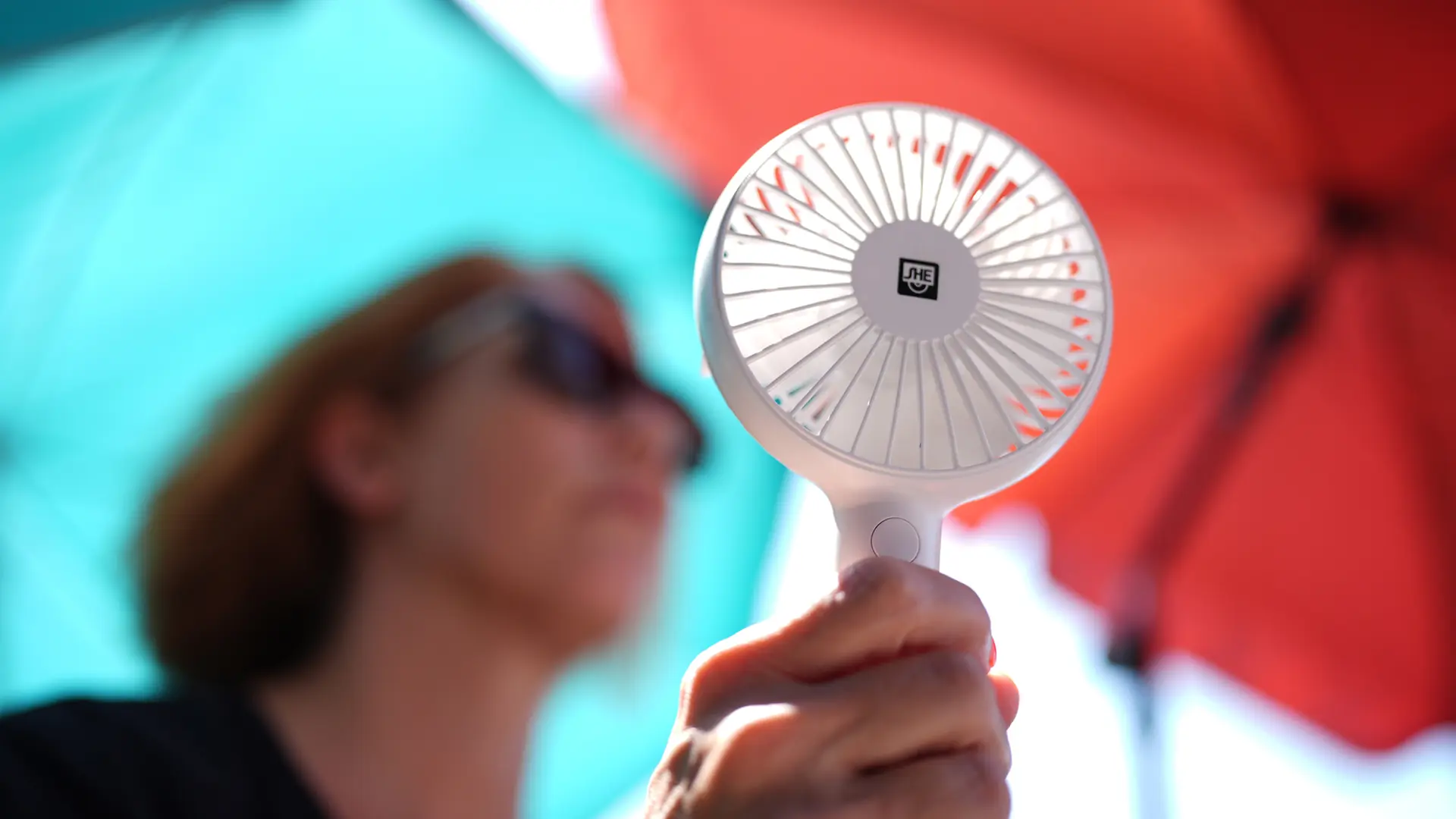
Heat-related stress is a primary concern for local authorities. When temperatures remain consistently high, the risk of heat exhaustion and heatstroke increases, particularly among vulnerable populations. The Hamburg health department frequently coordinates with the DWD to provide guidance on managing these conditions, emphasizing the importance of hydration and limiting physical exertion during peak afternoon hours. Residents are encouraged to check the official city health advisories for specific cooling center locations and safety protocols during extreme heat warnings.
The Role of Thunderstorms in Regional Temperature Fluctuations
Thunderstorms in the North are often viewed as a relief, yet meteorologists caution that their impact on total heat accumulation is minimal. While a storm may drop temperatures by several degrees within an hour, the underlying air mass remains warm, and humidity levels often rise, which can make the heat feel more oppressive once the rain stops. This phenomenon is a subject of frequent analysis by the DWD, which distinguishes between “refreshing” rain and the intense, often localized, convective storms common in summer.

These storms are frequently accompanied by risks such as heavy rain, hail, and gusty winds, which can lead to localized flooding or infrastructure damage. The DWD utilizes radar and satellite imagery to issue hyper-local warnings, allowing residents to prepare for rapid changes in conditions. Information on how to interpret these warnings and the criteria for different alert levels can be found in the DWD guidance documentation.
Practical Guidance for Residents During Heat Extremes
Staying informed is the most effective way to manage the risks associated with recurring heat waves. Official sources recommend that individuals monitor local forecasts multiple times a day, as weather patterns in Northern Germany can shift rapidly. The following steps are recommended by regional authorities to mitigate health impacts:
- Monitor official DWD alerts for the most up-to-date information on heat and storm warnings.
- Maintain indoor temperatures by keeping windows closed during the day and ventilating only during the cooler night or early morning hours.
- Increase water intake, even if thirst is not immediate, to prevent dehydration.
- Avoid strenuous outdoor activities during the peak heat window, typically between 12:00 PM and 6:00 PM.
For those living in urban environments, the “urban heat island” effect—where concrete and asphalt retain heat long after the sun has set—is a significant factor. City planning departments in Hamburg have begun integrating green infrastructure and water features to combat this, though these are long-term strategies. In the short term, the Federal Environment Agency (Umweltbundesamt) provides comprehensive resources on personal heat protection measures that remain relevant throughout the summer months.
Looking Ahead: Monitoring Future Weather Developments
The next official update regarding the regional weather outlook is scheduled for release by the DWD as part of their standard 24-hour cycle. Meteorologists continue to track the movement of high-pressure systems to determine how long this current phase of heat will persist. Residents are urged to remain vigilant and rely on verified meteorological data rather than anecdotal reports.

As the situation develops, further information will be available through the official DWD channels. We welcome your observations and experiences regarding how these weather patterns have affected your local area; please feel free to share your thoughts in the comments section below or join the conversation on our social media platforms to help keep the community informed.