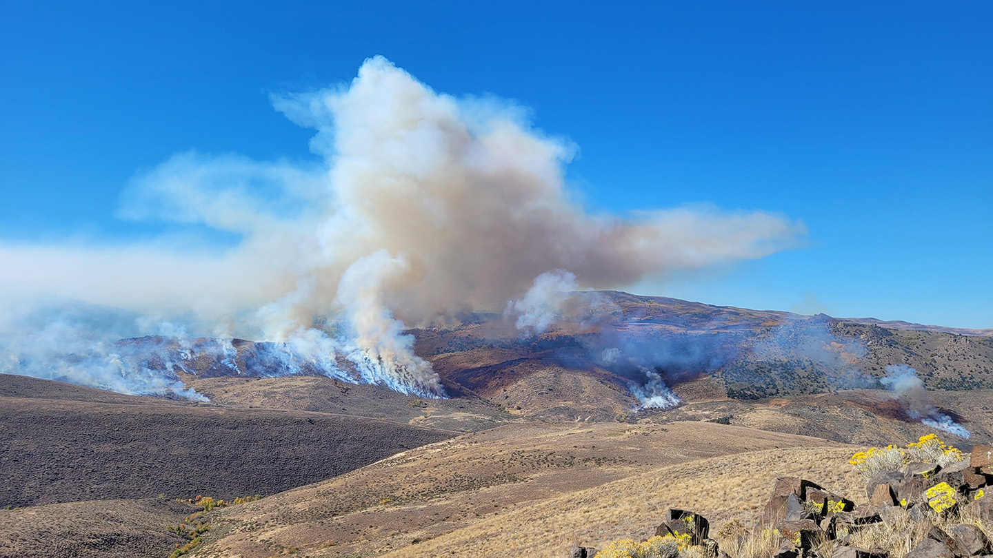
Researchers tracking controlled grassland burns have turned to an unexpected sensory channel to map fire behavior, utilizing infrasound—low-frequency acoustic waves operating well below the threshold of human hearing—to locate where flames actively spread across a landscape. According to studies and acoustic monitoring data detailed by organizations like the U.S. National Park Service and academic seismology departments, large-scale fires generate distinct, low-frequency atmospheric pressure fluctuations that can travel significant distances, providing scientists with a novel method to monitor wildfire dynamics without direct visual or thermal line-of-sight.
This emerging application of infrasound monitoring offers wildland fire managers an analytical tool to track fire progression through dense smoke or heavy canopy cover. As climate conditions intensify wildfire seasons across global ecosystems, researchers are examining how acoustic arrays might augment satellite telemetry and ground crews by providing real-time data on fire intensity and propagation rates.
The Physics of Low-Frequency Fire Tracking
Infrasound encompasses sound waves with frequencies below 20 hertz, sitting beneath the range of normal human auditory perception. These long-wavelength signals easily bend around obstacles and propagate through the atmosphere over vast distances with minimal attenuation. When applied to grassland and forest fires, the intense thermal energy released during combustion causes rapid air expansion and convective turbulence, producing characteristic acoustic signatures.
According to acoustic researchers studying atmospheric phenomena, low-frequency pressure waves act as direct acoustic fingerprints of combustion processes. By deploying specialized sensors known as microbarometers, field teams can record these minute pressure variations. Cross-referencing data from multiple sensor stations allows scientists to triangulate the exact origin and trajectory of the acoustic source, effectively pinpointing where a fire is burning even when visibility is completely obscured by heavy smoke plumes or darkness.
Applications for Prescribed Burns and Wildfire Management
Prescribed fires serve as a critical land management tool designed to reduce accumulated underbrush and mitigate catastrophic wildfire risks. However, monitoring these controlled burns presents logistical challenges for safety officers who must ensure containment lines hold. The integration of infrasound technology gives incident commanders an additional layer of situational awareness.
Government agencies and scientific institutions responsible for land management routinely evaluate new remote-sensing modalities to improve operational safety. While traditional infrared cameras mounted on aircraft or drones require clear flight paths and favorable weather conditions, acoustic arrays operate continuously regardless of visibility. By capturing acoustic data in real time, fire behavior analysts can construct detailed models of fire spread velocity and intensity fluctuations as fronts move across varying terrain topologies.
Challenges and Future Technological Integration
Despite its promise, acoustic fire tracking remains an evolving scientific pursuit. Ambient environmental noise—including wind turbulence, thunder, and heavy machinery—can mask low-frequency fire signals, requiring sophisticated signal-processing algorithms to isolate the combustion signatures. Researchers continue to refine sensor calibration and array geometries to improve signal-to-noise ratios in diverse outdoor environments.
As field testing expands across various ecosystems, interdisciplinary teams of atmospheric scientists, acoustic engineers, and wildland firefighters are working to transition experimental setups into deployable operational toolkits. The next phase of research focuses on miniaturizing sensor nodes and developing automated software pipelines capable of delivering instant acoustic mapping directly to incident command posts.
Official guidelines, ongoing research papers, and technical updates regarding acoustic remote sensing are maintained through academic institutions and participating public land management portals, where researchers regularly publish field findings and sensor deployment protocols.
Related reading