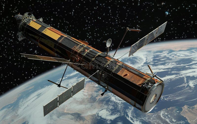
For decades, ecological monitoring has relied on a “top-down” perspective, using satellites to capture images of deforestation or melting ice caps. Yet, a groundbreaking initiative is shifting the lens from the stratosphere to the soil, turning the animal kingdom itself into a global network of living sensors. This project, known as ICARUS, is creating what researchers call an Internet of Animals
, blending space-age technology with wildlife biology to decode the secrets of the natural world.
The International Cooperation for Animal Research Using Space (ICARUS) leverages miniature tracking tags—essentially wearables for wildlife—to transmit data from animals on the ground to receivers in space. By monitoring the movement decisions of birds, bats and mammals, scientists can detect environmental changes in real time, effectively using wildlife as “canaries in the coal mine” to signal the health of global ecosystems.
This transition to a decentralized, animal-led data network represents a paradigm shift in earth observation. While traditional satellites observe the results of environmental decay, the Internet of Animals allows researchers to observe the reactions of living organisms to those changes as they happen. This capability could prove vital for predicting biodiversity loss and saving endangered species by understanding their precise migratory triggers and stressors.
The Technology: Wearables for Wildlife
At the core of the ICARUS system are ultra-lightweight tracking tags. According to the Max Planck Institute for Behavioral Biology, these tags currently weigh between 3 and 4 grams, with future iterations aimed to be as light as 1 gram. This drastic reduction in weight allows the technology to be fitted on a much broader diversity of species, including small birds and bats, without impeding their natural behavior.
These tags are engineered to run on solar energy, enabling the long-term tracking of animals over several years. The data collected—including GPS locations and behavioral markers—is transmitted to receivers orbiting approximately 400 kilometers above the Earth’s surface. This provides pole-to-pole coverage, ensuring that a tagged animal can be monitored whether This proves in the Arctic tundra or the depths of a tropical rainforest.
The first major milestone for the project occurred in September 2020, when a Eurasian blackbird tagged in Belarus made contact with the International Space Station (ISS) while migrating to Albania. The bird’s tag transmitted a 223-byte data packet containing its GPS location, which was then relayed back to scientists on the ground. This event proved that the system could function on a global scale, eventually capturing the movements of hundreds of animals across 15 different species between 2020 and 2022.
Overcoming Geopolitical Hurdles: The Shift to ICARUS 2.0
The project faced a significant setback in March 2022. Because the ICARUS receiver was hosted on the Russian module of the International Space Station, the outbreak of the war in Ukraine led to the termination of the collaboration with Russia, causing the data stream to stop abruptly. However, the initiative is not dormant; it is evolving into a more resilient architecture.
To eliminate dependence on a single station or a single nation’s cooperation, the project is transitioning to ICARUS 2.0
. This new phase involves the launch of a series of microsatellites. Instead of one receiver on the ISS, ICARUS 2.0 will utilize a network of six ICARUS receivers orbiting the Earth. This constellation will ensure continuous functionality and provide near real-time information on animal movements, removing the “blind spots” associated with the ISS’s specific orbit.
The move to microsatellites not only secures the project against geopolitical volatility but also increases the frequency of data downloads. With a constellation of satellites, the “Internet of Animals” can move from sporadic data snapshots to a high-velocity stream of global-scale movement data.
Decoding Migratory Secrets
The data harvested by ICARUS has already begun to rewrite the textbooks on animal migration. By tracking animals that were previously too small for satellite telemetry, researchers have discovered extraordinary feats of endurance and navigation.
- Hudsonian Godwits: Data revealed that these birds perform nonstop flights from nonbreeding locations in Southern Chile to Mexico, or across Central America to Texas in the USA.
- Common Cuckoos: The system documented long-distance water crossings over the Indian Ocean, as cuckoos migrate from India to Africa.
These insights are more than just biological curiosities; they are indicators of planetary health. When a species deviates from its traditional migratory route or changes the timing of its journey, it often signals a shift in climate, food availability, or habitat loss. By monitoring these shifts across thousands of animals simultaneously, ICARUS provides a living map of ecological stress.
Comparing the Evolution of ICARUS
| Feature | ICARUS 1.0 (ISS Phase) | ICARUS 2.0 (Microsatellite Phase) |
|---|---|---|
| Receiver Location | International Space Station (ISS) | Constellation of 6 Microsatellites |
| Data Continuity | Intermittent (based on ISS orbit) | Continuous / Near Real-Time |
| Geopolitical Risk | High (Dependent on ISS partnerships) | Low (Independent satellite network) |
| Tag Weight | 3–4 grams | Targeting 1 gram |
Why the “Internet of Animals” Matters
The integration of AI and big data into wildlife biology is transforming how we approach conservation. In the past, a biologist might spend weeks trekking through a rainforest to follow a single group of chimpanzees. While valuable, this “boots-on-the-ground” approach is limited in scale. The Internet of Animals allows for a hybrid approach: the broad-scale data from ICARUS can point researchers toward specific areas of concern, where they can then deploy targeted, ground-based studies.
this technology offers a new way to monitor “invisible” threats. For example, if a large number of tagged birds suddenly change altitude or direction in a specific region, it could indicate the presence of unseen pollutants, changes in wind patterns due to climate change, or the emergence of an avian disease. The animals act as the first responders, and the satellites act as the reporting system.
As the project scales, the goal is to create a comprehensive digital twin of global wildlife movement. This would allow scientists to run simulations on how the loss of a specific forest corridor or the warming of a particular ocean current would impact the survival of multiple species across continents.
The next confirmed milestone for the project is the deployment of the ICARUS 2.0 microsatellite constellation, which is designed to restore and expand the global tracking network. As these satellites take their positions, the world will gain an unprecedented window into the lives of the creatures that share our planet.
Do you think “Internet of Animals” technology is the key to saving endangered species, or does the tracking of wildlife raise too many privacy and ethical concerns? Share your thoughts in the comments below.