
On Tuesday, April 21, 2026, a magnitude 7.4 earthquake struck off the coast of Japan, triggering immediate tsunami warnings across the Pacific region and prompting swift assessments by coastal authorities in countries including Peru. The quake, recorded at approximately 16:53 Japan Standard Time, originated near the eastern seaboard of Honshu at a depth of about 10 kilometers, according to data from the United States Geological Survey (USGS). In the aftermath, Japan’s Meteorological Agency issued tsunami advisories for several prefectures, activating emergency protocols in vulnerable coastal communities.
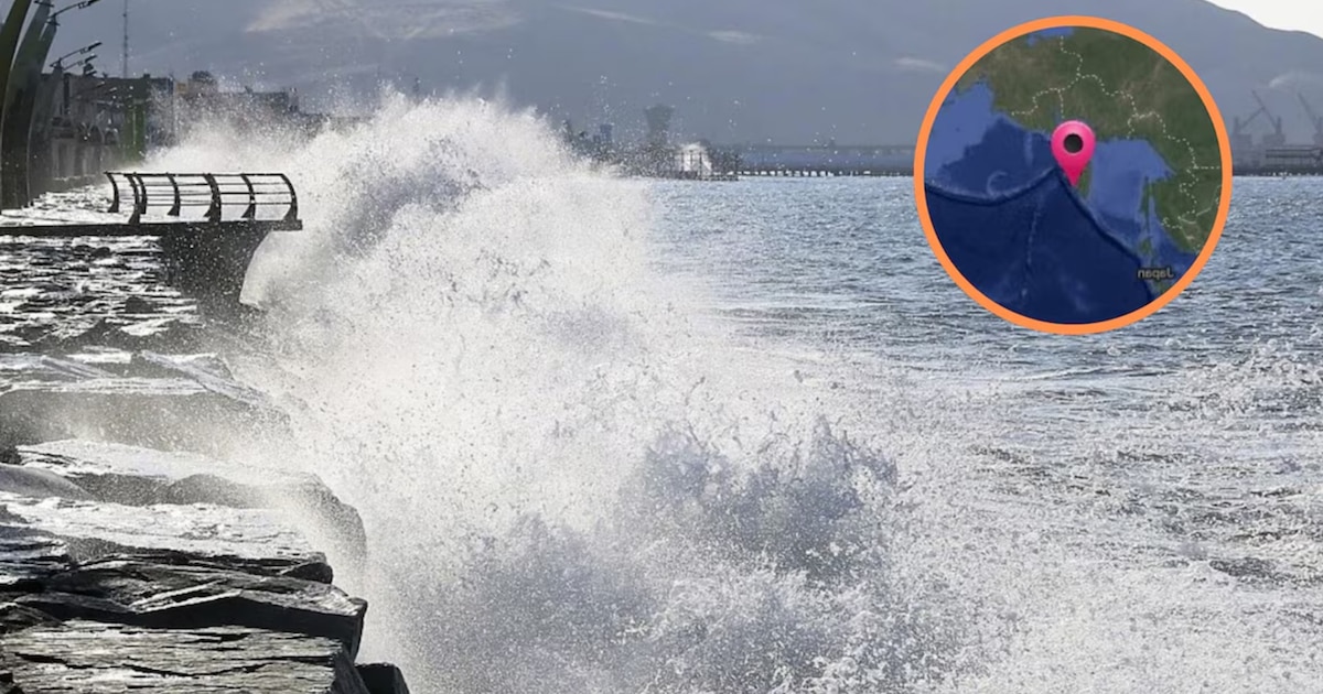
As seismic waves propagated across the Pacific Ocean, monitoring agencies throughout the region heightened their vigilance. In Peru, the Directorate of Hydrography and Navigation (DHN) of the Peruvian Navy conducted rapid evaluations to determine whether the event posed any threat to the nation’s extensive coastline. Officials emphasized that while the earthquake was significant in magnitude, its geographical origin and the direction of energy dispersion meant that tsunami waves were unlikely to reach Peruvian shores with destructive force.
“The earthquake in Japan generated sea level fluctuations that were monitored closely by our surveillance systems,” stated a representative from the DHN during a press briefing on April 21. “Although, based on real-time modeling and buoy data from the Pacific Tsunami Warning Center, we determined that no tsunami warning was necessary for Peruvian coastal areas. The observed wave amplitudes remained within normal tidal variations and did not meet the threshold for official alert activation.”
The Peruvian Navy’s assessment aligns with historical patterns of transoceanic tsunami propagation, where only undersea earthquakes of substantial magnitude occurring in specific subduction zones—particularly those near Central or South America—typically generate waves capable of affecting Peru’s littoral. Events originating in northwestern Japan, while powerful, often lose significant energy over the vast expanse of the North Pacific before reaching South American latitudes.
Despite the absence of a direct threat, authorities reiterated the importance of public awareness and preparedness. Coastal municipalities in regions such as Piura, Lambayeque, La Libertad, and Áncash maintain tsunami evacuation routes and conduct regular drills, especially given Peru’s position along the seismically active Pacific Ring of Fire. The Hydrography Directorate continues to operate a 24/7 monitoring center that integrates data from international sensors, including deep-ocean assessment and reporting of tsunamis (DART) buoys, to ensure timely detection of any potential hazards.
This incident follows a similar event just two days prior, on April 20, when a magnitude 7.5 earthquake occurred off the Iwate Prefecture coast in northern Japan. At that time, the Peruvian Navy also issued a statement confirming no tsunami risk to the country, noting that while the quake produced localized waves of up to 80 centimeters in Japanese waters, these dissipated before reaching transoceanic distances.
Experts from the Geophysical Institute of Peru (IGP) explained that the likelihood of a destructive tsunami reaching Peru from a Japanese earthquake depends on multiple factors, including the quake’s focal mechanism, rupture direction, and bathymetric features of the ocean floor. “Not all large earthquakes generate tsunamis,” noted an IGP seismologist. “The vertical displacement of the seafloor is key—if the movement is primarily horizontal, as in some strike-slip events, the tsunami potential is significantly reduced.”
In the case of the April 21 quake, preliminary analyses indicated a complex rupture pattern with both vertical and horizontal components, but modeling suggested that energy was directed more toward the open Pacific rather than toward South America. Satellite altimetry and coastal tide gauges in Hawaii and French Polynesia recorded minor sea level fluctuations, none of which exceeded typical background noise levels.
The Pacific Tsunami Warning Center, operated by the National Oceanic and Atmospheric Administration (NOAA), maintained an advisory status for parts of the northwestern Pacific but did not extend warnings to the eastern South Pacific. Their bulletins, updated hourly, reflected diminishing wave energy as distance from the source increased.
For residents and visitors along Peru’s coastline, officials recommend staying informed through official channels such as the Peruvian Navy’s DHN website and the National Emergency Operations Center (COEN). These platforms provide real-time updates during seismic events and disseminate guidance on evacuation procedures should a threat ever materialize.
While no immediate action was required following the April 21 earthquake, the event serves as a reminder of the interconnected nature of Pacific Ocean geodynamics and the value of robust early warning systems. Continued investment in seismic monitoring, public education, and international cooperation remains essential for safeguarding coastal populations against low-probability, high-impact events.
The next scheduled update from Peru’s Directorate of Hydrography and Navigation will occur as part of its routine biweekly seismic activity summary, unless further significant oceanic disturbances are detected. Readers are encouraged to share this information and engage in discussions about coastal safety practices in the comments section below.