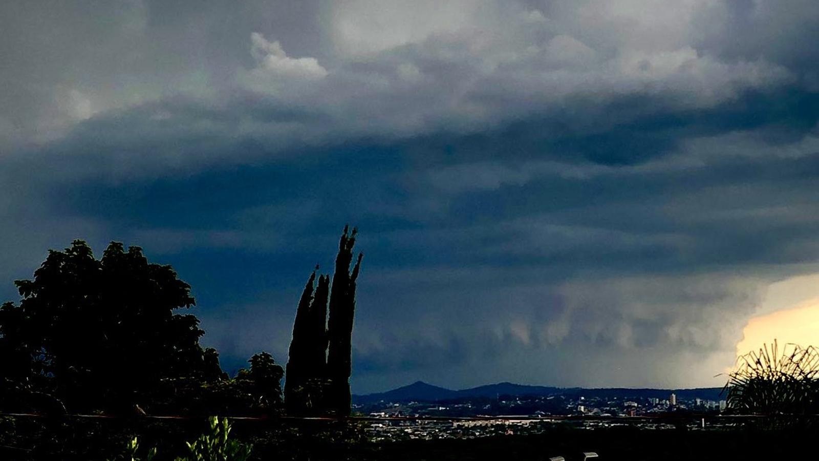
Rio Grande do Sul state in southern Brazil is bracing for a shift in weather conditions, moving from a recent heatwave to the potential for severe thunderstorms and heavy rainfall. After experiencing temperatures nearing 40°C (104°F) on Wednesday, February 18th, residents are now preparing for a period of instability that is expected to last through Friday, February 20th. The approaching storms pose a risk of strong winds, hail, and localized flooding, prompting authorities to issue warnings and advisories to the public.
The dramatic change in weather is being driven by a large pocket of extremely hot air currently situated over northern Argentina and Paraguay. Temperatures in this region are exceeding 40°C (104°F), with heat index values reaching around 50°C (122°F) in some areas. This intense heat has created an unstable atmospheric environment, fueling the development of thunderstorms as cooler air masses move in from the south. The situation highlights the increasing frequency of extreme weather events linked to broader climate patterns, and the demand for preparedness in vulnerable regions.
Heatwave Preceded Storm Threat
Wednesday saw record-breaking temperatures across Rio Grande do Sul, with Garruchos reaching 39.3°C (102.7°F), Porto Xavier hitting 38.8°C (101.8°F), and Doutor Maurício Cardoso recording 38.4°C (101.1°F). São Borja, Santa Rosa, Porto Vera Cruz, and Santo Antônio das Missões also experienced exceptionally high temperatures, peaking at 38.2°C (100.8°F), 37.9°C (100.2°F), 37.8°C (100.0°F), and 37.6°C (99.7°F) respectively. These readings underscore the intensity of the recent heatwave and its impact on the region. The high temperatures are a direct consequence of the aforementioned heat dome over Argentina and Paraguay, creating a significant temperature gradient and atmospheric instability.
Storms to Impact Western and Northern Regions
While sunshine is expected across much of Rio Grande do Sul on Thursday, February 19th, conditions will deteriorate rapidly as instability increases. Showers and thunderstorms are forecast to develop in the western part of the state during the morning, gradually spreading eastward throughout the day. Areas in the northwest, Campanha, central, and southern regions are particularly vulnerable. Some weather models, including the high-resolution WRF model, suggest that the rainfall could extend across a larger portion of the state by the end of the day.
The greatest risk of severe weather, including strong winds and localized heavy rainfall, is concentrated along the border with Uruguay and in the Campanha region. Residents in these areas are urged to grab precautions, securing loose objects and staying informed about the latest weather updates. The potential for strong, isolated wind gusts poses a threat to infrastructure and could cause damage to property.
Porto Alegre Under Watch
The metropolitan area of Porto Alegre is also under observation, with sunny conditions expected for much of Thursday. Yet, the possibility of showers or thunderstorms increases later in the day or overnight. Temperatures in the greater Porto Alegre area are forecast to reach between 31°C and 33°C (88°F to 91°F), with potential for even higher readings in some locations. If rainfall doesn’t arrive Thursday evening, it is expected to reach the region early Friday.
Friday’s Forecast: Northern Focus
Friday is expected to bring continued instability and a higher chance of rainfall across Rio Grande do Sul. The northern part of the state is likely to experience the most significant impacts, with widespread showers and thunderstorms. Isolated storms could be particularly strong, with the potential for damaging wind gusts. In contrast, the southern half of the state may see a brief period of instability in the morning, followed by clearing skies and sunshine. However, isolated showers cannot be ruled out during the afternoon and evening.
Preparing for Severe Weather
Authorities are advising residents to take the following precautions:
- Stay informed about the latest weather forecasts and warnings from reliable sources, such as the Instituto Nacional de Meteorologia (INMET).
- Secure loose objects outdoors that could be blown away by strong winds.
- Avoid travel during severe thunderstorms.
- If caught outdoors during a thunderstorm, seek shelter in a sturdy building or vehicle.
- Be aware of the potential for localized flooding and avoid driving through flooded areas.
The combination of high temperatures and approaching storms creates a complex weather situation for Rio Grande do Sul. Residents are urged to remain vigilant and take necessary precautions to protect themselves and their property. The National Institute of Meteorology will continue to monitor the situation and provide updates as needed.
The next significant update from meteorological authorities is expected Friday afternoon, February 21st, as they assess the impact of the storms and refine the forecast for the weekend. Stay tuned to World Today Journal for continuing coverage of this developing weather situation. Share this article with those in affected areas and let us know your thoughts in the comments below.
Keep reading
- Lee Jae-myung Orders Extension of Oil Price Caps and Fuel Tax Cuts
- Mamdani Recants Threat to Arrest Netanyahu Over ICC Warrant Limitations
- Pyrocumulonimbus, Explained: When Wildfires Make Their Own Storms (daybreakwire.com)
- Connecticut Weather Forecast: Potential for Heavy Rain This Week (news-usa.today)