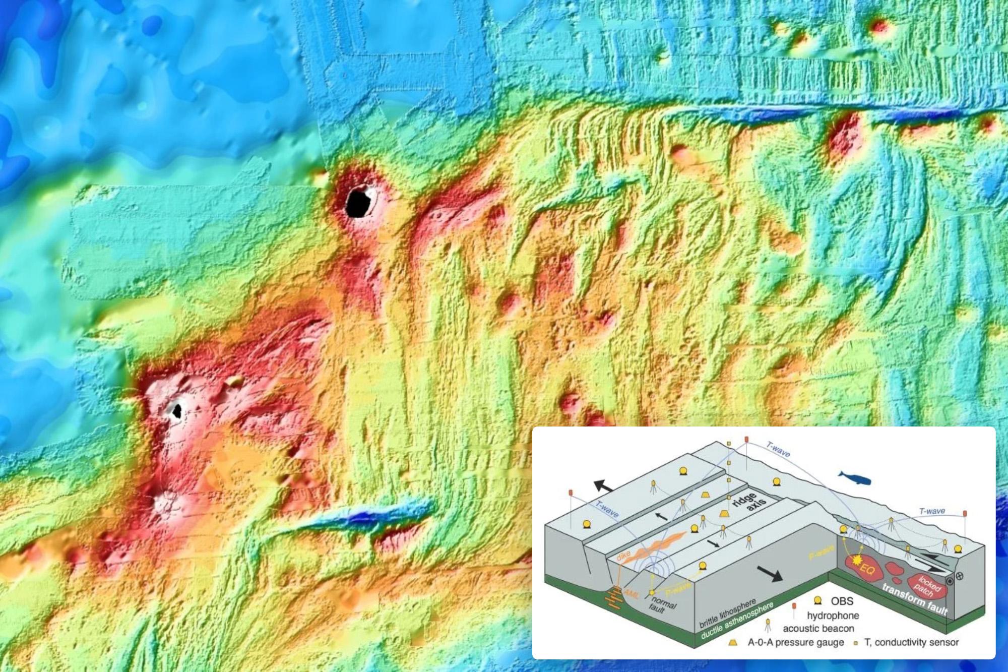
Marine geophysicists captured the first direct in-situ observation of a seafloor spreading event on April 26, 2024, along the Southeast Indian Ridge. Deployed by the OHA-GEODAMS project, underwater instruments recorded a 16-day tectonic and magmatic eruption that suddenly dropped the valley floor by 4.2 meters.
For most of human history, the creation of oceanic crust remained an invisible process hidden beneath kilometers of seawater. Researchers could map ancient magnetic zebra stripes on the seabed or measure the slow, creeping movement of tectonic plates, but observing an actual rifting episode in real time proved exceptionally elusive. That changed when a French-led research team deployed an advanced geodetic observatory in the Southern Indian Ocean, catching a rare cataclysmic event just months after instruments went live.
Observing the Southeast Indian Ridge Deployment and the OHA-GEODAMS Observatory
In February 2024, an international team led by marine geophysicist Jean-Yves Royer of the French National Center for Scientific Research deployed the OHA-GEODAMS experiment along the Southeast Indian Ridge, situated between Australia and Antarctica near Amsterdam Island. The region serves as a divergent plate boundary where the Australian and Antarctic plates pull apart at a rate of roughly 61 to 63 millimeters per year.

The deployed observatory featured five autonomous hydrophones, bottom-pressure recorders, and acoustic geodetic transponders designed to monitor the Saint Paul-Amsterdam volcanic plateau. According to reports from CNRS Terre & Univers, the instruments were placed across an active segment to capture short-lived tectono-magmatic episodes.
“We did not dream of capturing such a massive event, and were hoping to at least measure the steady stretching of the ridge (maybe a few centimeters) that allows stresses to build up between events, like a loaded spring, instead, we were treated to a once-in-forty-year event and measured several meters of displacements in both directions!!”
Jean-Yves Royer, marine geophysicist at CNRS
Magma Migration and Seafloor Collapse on April 26, 2024
The quiet phase ended abruptly on April 26, 2024. Instruments recorded an intense swarm of earthquakes rippling beneath the ridge axis, signaling the underground advance of a magma-filled dyke. As ScienceAlert noted, vast sheet-like intrusions tore through the crust, injecting an estimated 150 million cubic meters of magma into the oceanic crust.
This massive subterranean drainage caused the magma reservoir located 3.6 kilometers beneath the crust to deflate like a balloon. Consequently, the valley floor above it collapsed rapidly. Multibeam surveys and pressure sensors revealed that the seabed dropped by 4.2 meters as bordering faults slipped during the episode.
| Metric | Observed Value |
|---|---|
| Duration of Eruption | 16 days |
| Seafloor Subsidence | 4.2 meters (13.8 feet) |
| Magma Volume Employed | 150 to 160 million cubic meters |
| Peak Spreading Rate | 5 centimeters per minute |
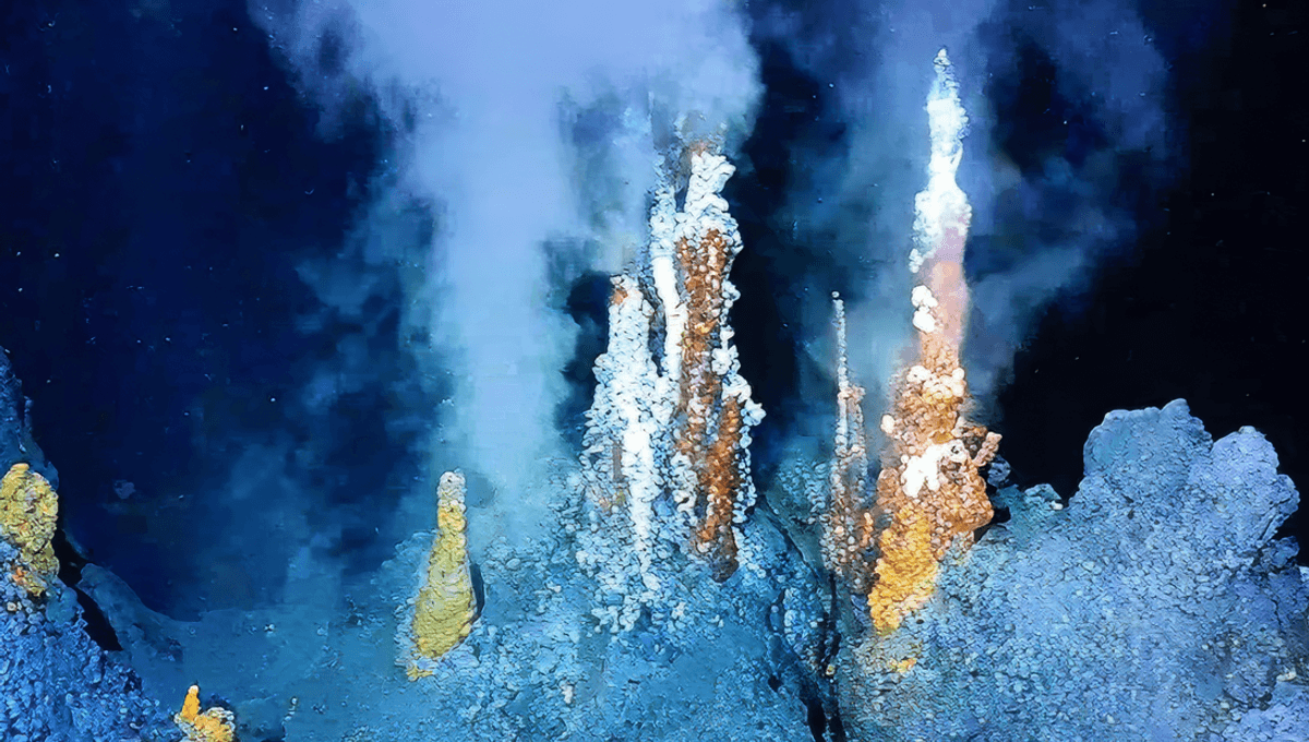
As lava encountered seawater nearly 3 kilometers beneath the surface, hydrophones recorded distinctive acoustic H-waves alongside a measurable rise in bottom-water temperature. Indiatimes that the eruption continued for roughly 16 days, supplying lava to form fresh basaltic crust.
Solving the Enigma of Aseismic Slip Along Intermediate Ridges
The high-resolution geodetic data retrieved during a February 2025 maintenance cruise solved a long-standing marine geophysics mystery. For decades, geological evidence showed that normal faults along oceanic ridges accumulated far more displacement than recorded earthquake magnitudes could justify.
Instead of releasing energy through continuous earthquakes, the ridge accommodated decades of accumulated tectonic strain in a single burst of quiet, aseismic slip.
Related reading