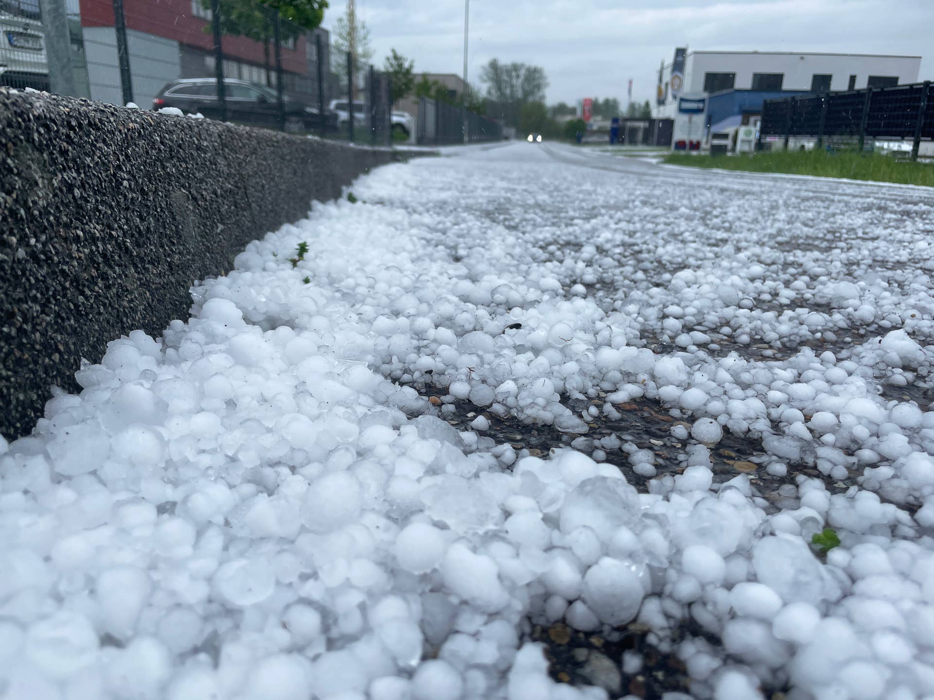
Meteorologists are tracking a rare and significant severe weather outbreak across parts of the Northeastern United States and Eastern Canada, where storms capable of producing damaging winds, large hail, and isolated tornadoes are expected Tuesday. While the region is accustomed to seasonal thunderstorms, the atmospheric conditions currently developing are unusual for these latitudes, prompting weather services to issue urgent alerts for residents in Maine and neighboring provinces.
According to the National Weather Service (NWS), the primary threat stems from a combination of high instability and strong wind shear moving into a region where such severe convective activity is historically infrequent. In Maine, emergency management officials have advised residents to monitor local forecasts closely, as the timing of these storms often coincides with evening hours, complicating visibility and response efforts.
Atmospheric Conditions Driving the Storm
The current weather pattern is characterized by a potent cold front interacting with an unseasonably warm and humid air mass. This setup provides the necessary “fuel” for thunderstorm development. Meteorologists at the NOAA Storm Prediction Center have highlighted that the presence of sufficient vertical wind shear—the change in wind speed or direction with height—creates an environment where storms can become organized and potentially rotate. When these conditions align, the risk of supercell development increases, even in geographic areas not typically associated with high tornado activity.

In Eastern Canada, Environment and Climate Change Canada has issued similar warnings for parts of Quebec and the Maritimes. The agency noted that while the primary risks remain straight-line winds—which can down power lines and trees—the potential for small, brief tornadoes cannot be ruled out given the specific dynamics of the passing front. Unlike the expansive storm systems seen in the U.S. Midwest, these systems are often smaller in scale but can intensify rapidly as they move across varied terrain.
Preparedness and Safety Measures
For residents in the path of these storms, safety protocols remain consistent with standard severe weather guidance. The Federal Emergency Management Agency (FEMA) recommends that households have at least two ways to receive emergency alerts, such as a NOAA Weather Radio or a mobile application that pushes localized notifications. Because tornadoes in the Northeast are often obscured by terrain or heavy rain, waiting for visual confirmation is dangerous; officials emphasize taking cover immediately upon the issuance of a tornado warning.
Those living in mobile homes or areas with dense tree cover are at higher risk during high-wind events. Experts suggest identifying a sturdy, windowless room on the lowest floor of a building before the storms arrive. If caught outdoors or in a vehicle, the guidance is to seek the nearest substantial shelter. It is important to note that “severe” status is a technical meteorological designation, and even storms falling just below that threshold can cause significant property damage through lightning strikes and localized flash flooding.
Regional Impact and Monitoring
The impact of such weather events often extends beyond immediate structural damage. Utility companies across Maine and Atlantic Canada have prepared for potential power outages by staging line crews in strategic locations. The Maine Emergency Management Agency maintains a real-time dashboard for residents to track active alerts and utility restoration updates as the system progresses.

The next confirmed checkpoint for updates will occur as the cold front traverses the region, with local NWS offices and provincial weather centers expected to issue rolling updates throughout the night. Residents are encouraged to check official government websites for the most current warnings and to share this information with neighbors to ensure community-wide awareness.
Keep reading