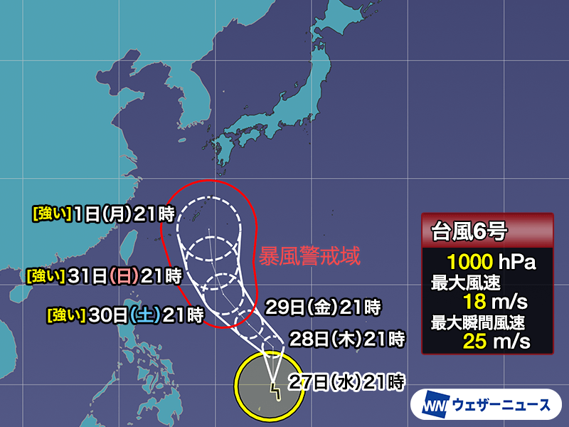
As we monitor evolving meteorological patterns across the Asia-Pacific region, a primary focus for regional authorities is the development of Typhoon 6, known internationally as Chan-hom (often referred to as Chan-hom or Chan-mee in regional reports). As of May 27, 2026, the storm system is being closely tracked by weather agencies as it maintains potential to influence weather conditions across the Okinawa and Amami island chains.
For residents and travelers in these areas, the situation requires diligent monitoring of official Japan Meteorological Agency (JMA) advisories. While atmospheric conditions remain dynamic, the core risk concerns the storm’s trajectory and its potential for strong winds and heavy rainfall as it approaches southern Japanese territories. Understanding the path of this system is essential for safety preparations, particularly as we enter a period where early-season tropical activity can coincide with the onset of the seasonal rainy season.
Monitoring Tropical Cyclone Development
The progression of Typhoon 6 is currently being analyzed through multiple forecasting models. Meteorological agencies are emphasizing that while early projections provide a baseline, the precision of a storm’s track can shift based on upper-level atmospheric steering currents. The Japan Meteorological Agency provides the most authoritative data regarding the storm’s current position, intensity, and expected speed, which are critical metrics for local disaster prevention planning.
In addition to the wind hazards associated with the typhoon itself, meteorologists are highlighting the potential for indirect impacts. When a tropical system interacts with the stationary fronts characteristic of the Japanese rainy season, the risk of localized, heavy precipitation increases significantly. This combination has historically led to concerns regarding soil saturation and the subsequent risk of landslides in mountainous or hilly terrain.
Safety Guidelines and Disaster Preparedness
For those located in or planning travel to the Okinawa and Amami regions, the priority remains proactive disaster mitigation. Official government guidance consistently stresses the importance of early action. Residents should familiarize themselves with their local hazard maps, which detail areas susceptible to flooding or landslide risks. These maps are maintained by municipal governments and serve as a vital tool for determining whether evacuation to a designated shelter is necessary.
Preparedness measures should include:
- Reviewing emergency kits to ensure they contain sufficient water, non-perishable food, and essential medications.
- Identifying the nearest designated evacuation center and the safest route to reach it.
- Securing outdoor items that could become projectiles in high winds.
- Monitoring official channels, such as local broadcast stations and the official JMA portal, for real-time updates on weather warnings and evacuation orders.
Regional Weather Outlook
Beyond the immediate threat of the typhoon, the broader regional outlook indicates a shift toward warmer, early-summer temperatures. As the atmosphere stabilizes following the passage of low-pressure systems, many regions, including Tokyo and areas west, may see temperatures frequently exceeding 30 degrees Celsius (86 degrees Fahrenheit) starting in late May and early June. This transition brings its own set of challenges, particularly the need for heatstroke prevention measures during outdoor activities.
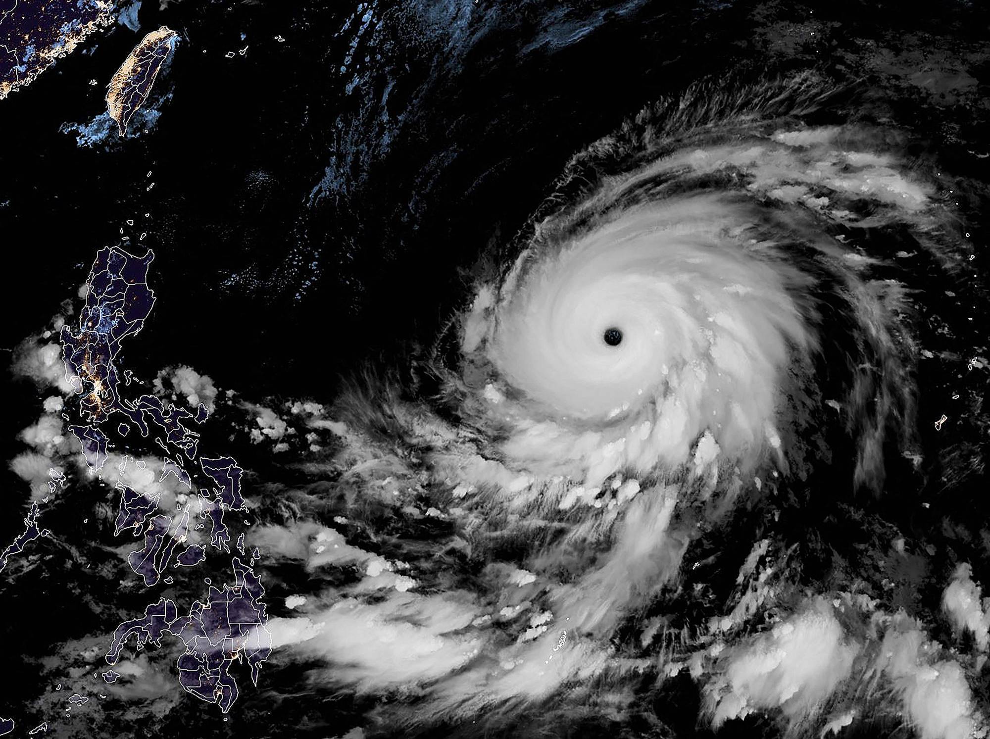
The convergence of high heat and potential moisture from tropical systems necessitates a flexible approach to daily planning. Authorities advise the public to balance the need for outdoor activity with the risks posed by rapidly changing weather conditions. Keeping a close watch on the Japan Meteorological Agency’s official forecasts ensures that individuals receive the most accurate and actionable data available.
We will continue to track the progress of Typhoon 6 as it moves through the western Pacific. For the latest official bulletins, please consult the Japan Meteorological Agency’s disaster prevention information page. We encourage our readers to stay informed through these verified sources and to prioritize safety during periods of severe weather. Please share your local observations or questions in the comments section below as we continue to monitor this developing situation.
Related reading