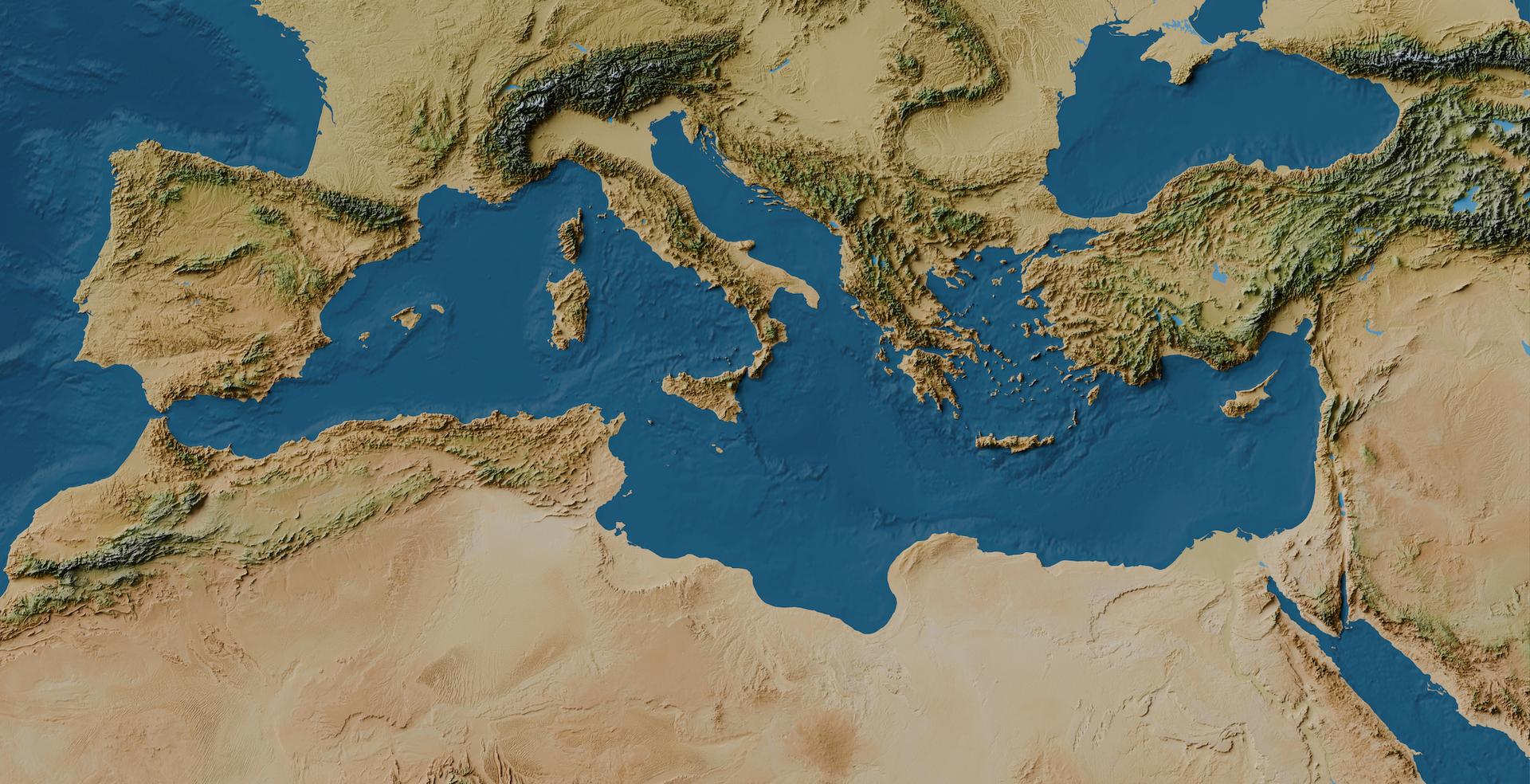
Satellite observations have revealed subtle yet significant tectonic shifts beneath the Iberian Peninsula, offering geologists a clearer view of how the European and African tectonic plates interact. According to recent geodetic data analyzed by researchers, parts of Spain and Portugal are experiencing unexpected vertical and horizontal movements that challenge long-held assumptions about regional crustal stability.
The findings, captured by high-precision Interferometric Synthetic Aperture Radar (InSAR) and Global Navigation Satellite Systems (GNSS), indicate that the Iberian microplate is not behaving as a rigid, monolithic block. Instead, modern space-borne sensors show localized deformation patterns driven by deep mantle dynamics and ongoing compressive forces from the south.
Understanding these subtle movements matters because the Iberian Peninsula sits near a complex and seismically active convergent plate boundary. While major earthquakes are relatively infrequent compared to regions closer to the central Mediterranean or North Africa, tracking crustal deformation helps seismologists refine hazard models for the Iberian Atlantic margin and surrounding fault systems.
How Satellite Geodesy Tracks Sub-Millimeter Crustal Shifts
For decades, measuring tectonic motion relied on sparse ground networks that could miss localized anomalies. Today, European Space Agency missions and international geodetic arrays provide continuous coverage, detecting surface changes as small as a fraction of a millimeter per year.
By comparing phase differences in radar signals bounced off the ground across multiple satellite passes, researchers map surface velocity fields with high spatial resolution. These satellite observations isolate true tectonic displacement from seasonal noise, such as groundwater depletion or heavy rainfall that causes temporary surface swelling and subsidence.
The data reveal that while the central plateau of Spain remains relatively stable, distinct zones along the margins and certain mountain ranges show persistent uplift and subsidence trends. These movements point to ongoing adjustments along legacy fault lines inherited from earlier geological eras.
Geological Drivers Behind the Iberian Microplate
The primary engine dictating the motion of the Iberian Peninsula is the northward convergence of the African plate against Eurasia at a rate of approximately 4 to 5 millimeters per year. However, the transmission of this stress through the oceanic and continental lithosphere is far from uniform.
According to structural geologists, the collision zone features complex subduction remnants and crustal thickening beneath mountain chains like the Betic Cordillera and the Pyrenees. Satellite data suggest that gravitational potential energy and mantle upwelling may also play a role in driving localized surface uplift, complicating the traditional picture of simple plate-boundary compression.
Furthermore, human activities such as intensive aquifer extraction can mask or amplify tectonic signals. Modern geodetic processing techniques are essential for separating anthropogenic subsidence from deep-seated tectonic movements.
Implications for Seismic Hazard Assessment
While the measured velocities are slow, mapping these deformation fields provides vital data for long-term seismic risk evaluation. Urban centers, critical infrastructure, and coastal facilities across Spain and Portugal rely on accurate fault-slip rates to update building codes and safety guidelines.
Researchers plan to integrate these satellite findings with upcoming ground-based seismic campaigns to monitor stress accumulation more closely. Official updates and ongoing geodetic datasets are accessible through institutional research portals run by European geological surveys and academic consortia.
We welcome your thoughts on these findings. Share your perspectives or join the discussion in the comments below.
Worth a look