Weekend Weather Shift: Colder Air and Showers Expected Across Italy
After several days of persistent cyclonic circulation, Italy is bracing for a renewed influx of cold air this weekend. Whereas a brief respite was anticipated for the Spring Equinox on Friday, March 20th, meteorological conditions are expected to deteriorate between Saturday, March 21st, and Sunday, March 22nd, bringing increased instability and localized heavy rainfall. The shift in weather patterns comes as many across the country prepare for outdoor activities and the full arrival of spring.
The current weather system, characterized by a lingering cyclonic circulation, has been fueled by cold currents originating from the northeast. This has created an unstable meteorological context across much of the country. The approaching weekend promises to amplify these conditions, with a particularly concerning development expected on Sunday.
Reinforcing Cold Currents from Saturday, March 21st
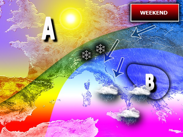
The situation is set to grow more complicated as the weekend progresses. A redistribution of high-pressure areas towards northeastern Europe will facilitate the strengthening of cold currents directed towards Italy, beginning on Saturday, March 21st. This influx of colder air will further stimulate the existing instability. Saturday will witness the initial signs of worsening weather, with increasing cloud cover across much of the country, particularly in the north. Localized precipitation, including snowfall at higher elevations (above approximately 800 meters), is expected in the central and eastern Alpine regions.
Sudden Showers and Snow at Lower Elevations on Sunday, March 22nd
The most significant deterioration is anticipated for Sunday, March 22nd, particularly across central and southern Italy. The renewed influx of cold air will contribute to the formation of a low-pressure system aloft, which will move from the central regions towards the south throughout the day. This will result in sudden showers, thunderstorms, and snowfall down to 1000 meters. The regions most likely to experience the brunt of the bad weather are Sardinia, Lazio, Campania, and Sicily, where heavier rainfall is expected, especially on the eastern side of the island in the evening.
The potential for snowfall at relatively low altitudes is a concern for residents and travelers alike. While the exact snowfall levels will depend on the precise track of the low-pressure system, it is advisable to monitor local weather forecasts closely. The combination of rain and colder temperatures could also create hazardous driving conditions.
Meteorological experts are advising residents in the affected regions to prepare for potential disruptions to travel and outdoor activities. It is recommended to check local transportation updates before venturing out and to exercise caution on the roads. The Italian Civil Protection Department has not yet issued any official warnings, but is monitoring the situation closely. The Department’s website provides the latest information on weather alerts and emergency preparedness.
The arrival of this colder air mass is a reminder that despite the calendar indicating the arrival of spring, the weather in Italy can remain unpredictable. The interplay between different air masses and weather systems can lead to rapid changes in conditions, making it essential to stay informed, and prepared.
Looking ahead, the early indications suggest that the unsettled weather pattern may persist into the beginning of next week, although the intensity of the precipitation is expected to decrease. Yet, it is still too early to provide a definitive forecast beyond Sunday. 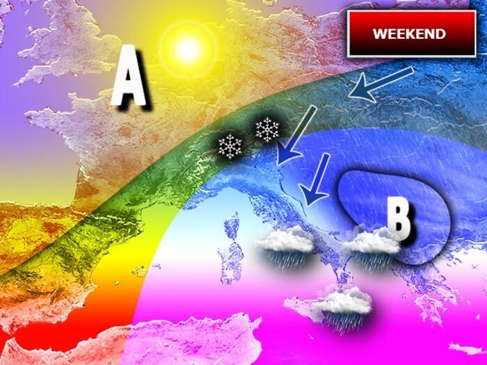
Impact on Agriculture and Outdoor Activities
The anticipated cold snap and rainfall could have implications for agricultural activities, particularly in regions where early spring planting has already begun. Farmers are advised to capture precautions to protect vulnerable crops from frost damage. The colder temperatures could also delay the budding of fruit trees and other plants.
Outdoor events and recreational activities planned for the weekend may also be affected. Organizers are encouraged to monitor the weather forecast and craft appropriate adjustments to ensure the safety of participants. Hikers and climbers are advised to avoid high-altitude areas due to the risk of snowfall and icy conditions.
The Italian Meteorological Service (Il Meteo) will continue to provide updated forecasts and warnings as the situation evolves. Residents are encouraged to stay informed and take necessary precautions to protect themselves and their property.
The approaching weather system underscores the importance of preparedness and vigilance during the transition between seasons. While spring is often associated with warmer temperatures and sunny skies, it is also a time of increased weather variability. Staying informed and taking appropriate precautions can help mitigate the risks associated with sudden changes in conditions.
The next official update from the Italian Meteorological Service is scheduled for Saturday morning, March 21st, at 9:00 AM CET. Readers are encouraged to share their experiences and observations in the comments section below.
Worth a look