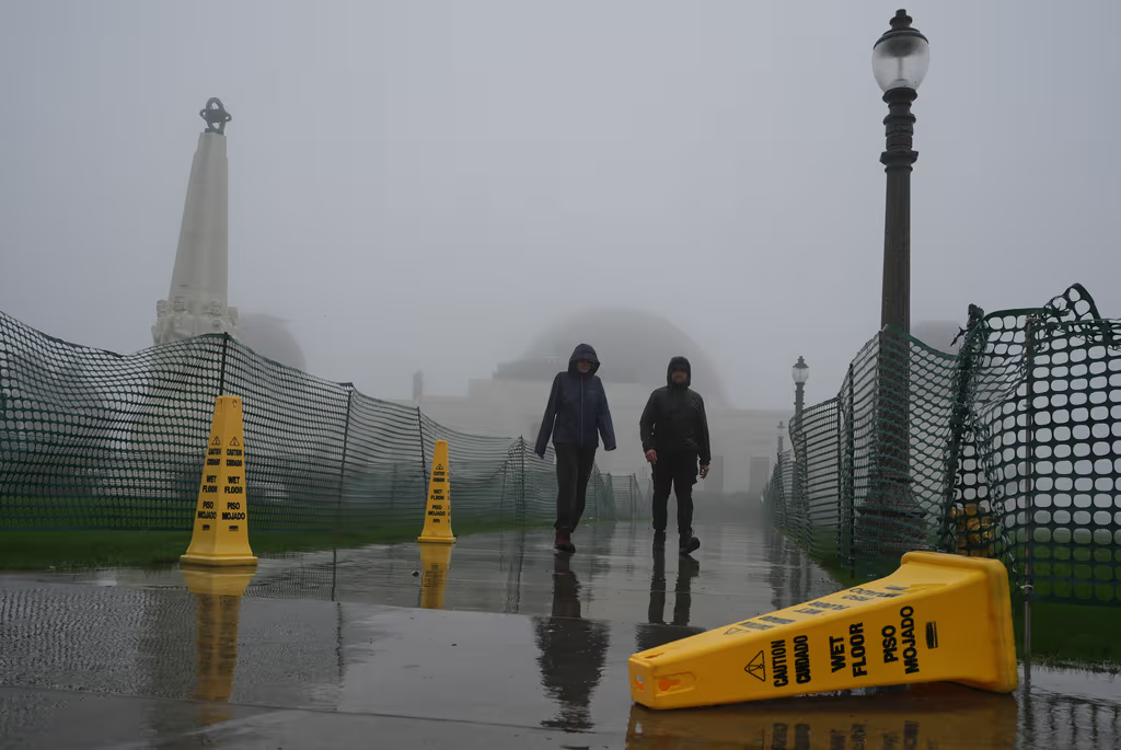
Residents across the southern reaches of Florida are facing a precarious weather situation as heavy rains and the threat of flash flooding dominate the region’s forecast. The National Weather Service has issued a flood watch for the coastal areas of Miami-Dade, Broward, and Palm Beach counties, effective through 10:00 pm on Tuesday, April 7, 2026. This alert comes amid expectations of numerous showers and intense storms that could further saturate an already struggling landscape.
The current weather crisis is compounded by a tropical disturbance that has already delivered up to 20 inches of rain in some areas this week. Meteorologists warn that the ground is now heavily saturated, meaning that even moderate additional rainfall could trigger immediate flash floods. This lack of absorption capacity makes it nearly impossible for the affected zones to recover between storm cycles, increasing the risk to infrastructure and public safety.
The impact on daily life has been severe. In Miami, the deluge has resulted in abandoned vehicles littering streets and sidewalks, with some cars left stranded in medians or in the middle of roads. Travel has also been disrupted, with heavy downpours causing delays at two of the state’s largest airports. Local residents have described the scenes of abandoned cars as resembling a movie, highlighting the chaotic nature of the sudden inundations.
Coastal Alerts and Urban Flooding in South Florida
The flood watch specifically targets the coastal regions of the southeastern peninsula. According to reports from N+ Univision 23 Miami, the National Weather Service’s vigilance remains in place to protect residents in Miami-Dade, Broward, and Palm Beach counties. The primary concern is the high volume of precipitation expected to fall within a short window, which often exceeds the capacity of urban drainage systems.
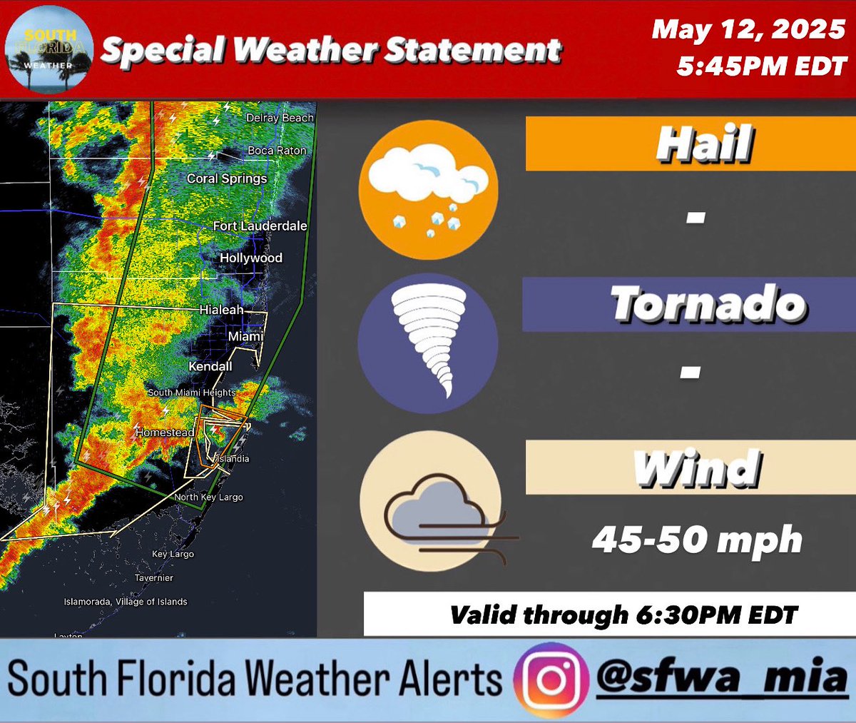
The human toll of these weather events is evident in the stories of those on the ground. Ted Rico, a tow truck driver in Miami, reported spending much of Wednesday night and Thursday morning clearing streets of stuck vehicles. Rico noted that the sight of cars abandoned everywhere, some without lights and pushed onto sidewalks, created a surreal and overwhelming environment.
Beyond the immediate flooding, the timing of these storms is particularly concerning. These heavy rains have arrived at the start of the hurricane season, which is projected to be one of the most active in recent memory. There are growing concerns among experts that climate change may be intensifying these types of adverse meteorological phenomena, leading to more frequent and severe flooding events.
Impact on Infrastructure and Transportation
The saturation of the soil has created a “compounding effect,” where new rain does not soak in but instead runs off immediately into streets and homes. This has led to vehicles becoming submerged in the lowest-lying streets of the region. The disruption extended to the aviation sector, where flight delays were recorded at two of Florida’s major airports during the peak of the storms on Tuesday and Wednesday.
Even as some residents spent Thursday attempting to clear debris and salvage plans, meteorologists have cautioned that conditions could worsen. The risk of flash flooding remains high because the “saturated areas” cannot handle further precipitation, regardless of the intensity of the next round of rain.
Key Takeaways for Residents
- Active Alerts: A flood watch is in effect for coastal Miami-Dade, Broward, and Palm Beach until 10:00 pm Tuesday.
- Rainfall Totals: A tropical disturbance has already dropped up to 20 inches of rain in South Florida this week.
- Primary Risks: Flash flooding is the chief concern due to saturated soil and urban drainage failures.
- Transportation: Expect continued delays at major airports and avoid low-lying roads where vehicles are prone to stalling.
As the region monitors the current weather patterns, the next official checkpoint will be the expiration of the current flood watch at 10:00 pm on Tuesday, April 7, 2026, after which the National Weather Service will provide updated guidance on whether the vigilance needs to be extended.
Do you have updates on flooding in your neighborhood? Share your experience in the comments below and share this article to help others stay informed.
Worth a look