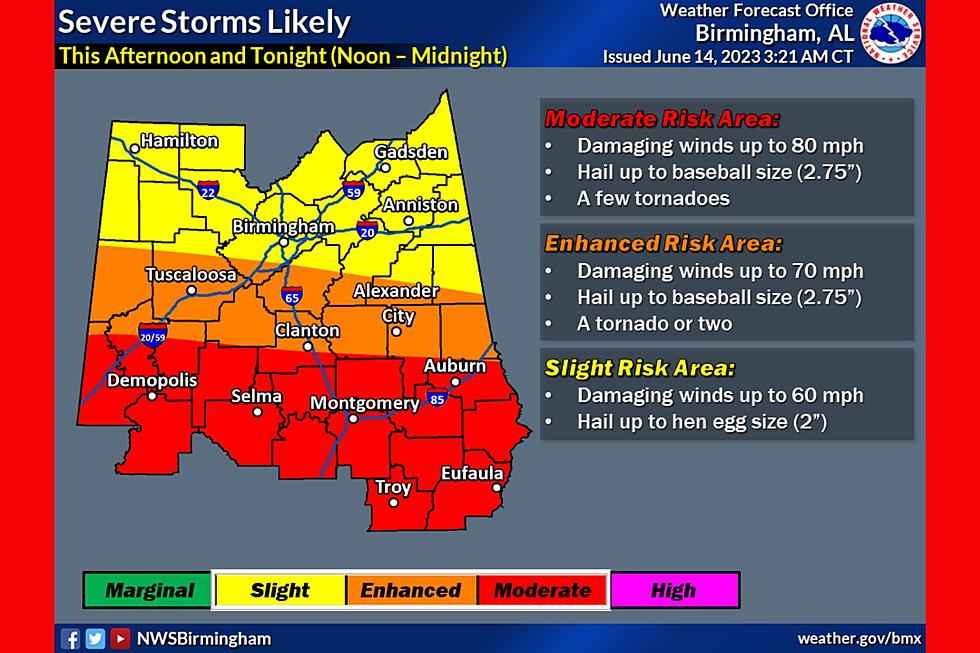
Minnesota is bracing for a significant risk of severe weather this Monday, April 13, 2026. Meteorological forecasts indicate a high potential for volatile conditions across the region, with the primary threats including very large hail, damaging winds, and the possibility of tornadoes severe weather outlook.
The anticipated instability follows a period of unseasonably warm weather. On Sunday, April 12, temperatures in several areas climbed to near 80 degrees, creating an atmospheric environment conducive to storm development Sunday temperature reports.
As the region moves into Monday, the threat is expected to intensify. Weather analysts warn that the severe threat may continue to build into the early part of next week, potentially extending the window of risk for residents and travelers extended severe weather threat.
Atmospheric Drivers and Moisture Surge
The volatility expected on Monday is driven by a surge of moisture moving northward. This shift is characterized by a climb in both temperatures and dew points overnight, which provides the necessary fuel for severe thunderstorms to develop and sustain themselves atmospheric moisture analysis.
When high dew points coincide with a surge of warm air and a triggering mechanism—such as a cold front or low-pressure system—the result is often an increase in convective energy. This process elevates the risk of “supercell” storms, which are more likely to produce the large hail and tornadic activity currently forecasted for the state thunderstorm forecast.
Potential Impacts and Risks
The combination of damaging winds and very large hail poses a significant threat to infrastructure, agriculture, and vehicles. Large hail can cause extensive damage to crops and property, while high-velocity winds can lead to power outages and downed trees.

The possibility of tornadoes, while often localized, remains the most critical safety concern. Residents are encouraged to remain vigilant and ensure they have access to reliable weather alerts as the system progresses through Minnesota on Monday.
Key Weather Takeaways
- Primary Hazards: Very large hail, damaging winds, and potential tornadoes.
- Peak Timing: Monday, April 13, 2026, with threats potentially extending into early next week.
- Environmental Factors: Surging moisture and rising dew points overnight following Sunday temperatures near 80°F.
Local residents should monitor official meteorological channels for real-time warnings and evacuation orders if necessary. The next critical checkpoint for weather updates will be the issuance of official Monday morning watches and warnings by regional weather authorities.
World Today Journal encourages readers to share this update with those in affected areas and to leave comments below regarding local conditions.
Keep reading