As the weekend of April 25-27, 2026 approaches, weather patterns across the central United States are shifting from recent warmth toward cooler conditions, with attention turning to river levels and the potential for severe weather early next week. While the immediate forecast calls for drier skies and moderating temperatures, meteorologists are monitoring evolving systems that could bring heightened thunderstorm activity to parts of the Midwest by Monday.
Current projections indicate overnight temperatures will dip into the mid-40s°F Friday into Saturday across affected regions, with skies gradually clearing from west to east. Daytime highs on Saturday are expected to reach the low 60s°F under mostly sunny conditions, though lakefront areas may remain cooler, staying in the 50s°F. These trends align with broader seasonal transitions as spring patterns continue to influence atmospheric stability across the nation’s midsection.
River levels, particularly in basins such as the Fox River, have been elevated in recent weeks due to sustained precipitation and snowmelt runoff. However, forecasts suggest a gradual decline in water levels beginning late Saturday, with noticeable changes possible by Sunday as drainage improves and upstream flows diminish. Officials continue to advise residents near waterways to remain alert to localized flooding risks, especially in low-lying areas adjacent to tributaries like the Little Miami, Great Miami, and Licking Rivers.
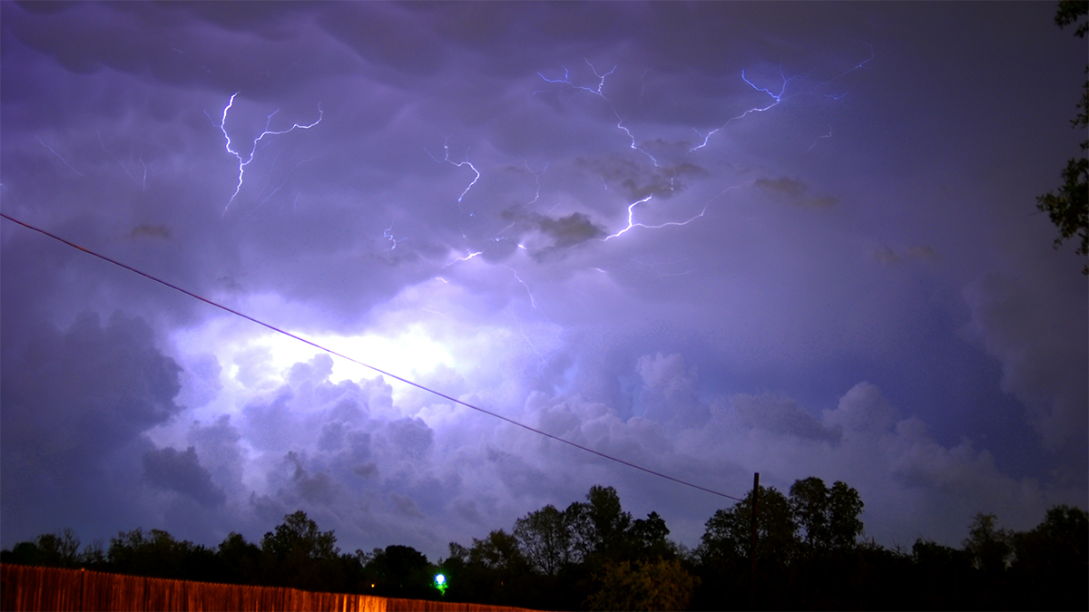
Looking ahead to early next week, forecast models indicate a developing severe weather threat across much of Illinois, with the highest potential for activity expected Monday during the late afternoon and evening hours. Meteorological analysis suggests this system could generate multiple hazards, including damaging straight-line winds, large hail, and the possibility of tornadoes, though exact timing and intensity remain subject to change as the system evolves.
The National Weather Service’s Ohio River Forecast Center notes that experimental flood inundation maps are being updated regularly based on modeled river discharge and National Water Model guidance, providing critical tools for assessing flood risk in real time. These resources, combined with radar and satellite observations, aid forecasters track both precipitation trends and river response to inform public safety messaging.
For residents seeking authoritative updates, the National Water Dashboard maintained by the U.S. Geological Survey offers real-time river level data and weather context from monitoring stations nationwide. Similarly, local National Weather Service offices provide hourly forecasts, watch/warning notifications, and specialized outlooks such as the Significant Flood Outlook and Winter/Spring Flood Risk assessments.
While the weekend itself is expected to remain relatively tranquil with minimal rain chances, the transition into early next week warrants close attention to official forecasts. Meteorologists emphasize that forecast confidence increases closer to the event, and recommend checking updates frequently through trusted channels as timing and hazard details become clearer.
Following the passage of the early-week system, cooler and drier air is projected to settle across the region, with highs returning to the mid-50s to low 60s°F through midweek before another potential cooldown later in the week. This pattern reflects the typical variability of late spring, when alternating air masses create fluctuating conditions between periods of warmth and unsettled weather.
As always, individuals are encouraged to prepare for changing conditions by reviewing emergency plans, securing outdoor items, and staying informed through verified sources. The National Weather Service maintains a network of forecast offices and river centers that issue timely advisories, while the Weather-Ready Nation initiative offers guidance on staying safe during severe weather events.
Stay tuned to official weather channels for the latest developments, and consider sharing this information with others who may benefit from early awareness of evolving conditions.
Worth a look