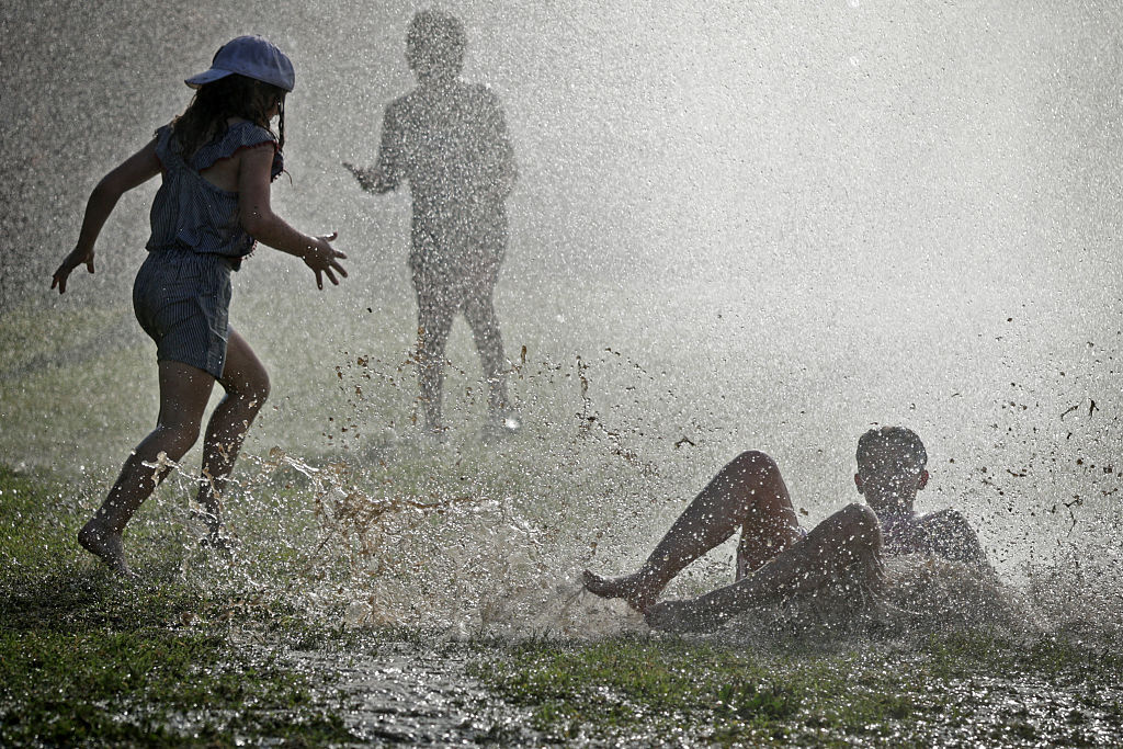
The National Weather Service has issued a heat advisory for the D.C. area, effective from 11 a.m. to 8 p.m. on Wednesday, as a persistent ridge of high pressure drives temperatures toward the 100-degree mark. Residents should expect heat index values—which account for both air temperature and humidity—to climb between 105 and 109 degrees, according to the National Weather Service. This period of extreme heat is expected to persist through the week, with high temperatures likely continuing into the weekend.
The current weather pattern is also impacting regional air quality. A code orange air quality alert is in effect for ground-level ozone, exacerbated by wildfire smoke originating from Ontario. This smoke, while situated in the upper levels of the atmosphere, is contributing to a hazy, milky appearance in the sky. These conditions are expected to linger as the high-pressure system remains stationary.
Regional Heat Protocols and Local Responses
Local government and school officials have implemented safety measures to mitigate risks associated with the extreme temperatures. In the District, Mayor Muriel Bowser has declared an extreme heat alert that spans from Wednesday through Saturday. As part of this directive, the city advises residents to limit strenuous outdoor activities during the peak heating hours of 11 a.m. to 4 p.m. to reduce the risk of heat-related illnesses.
In Virginia, the Fairfax County Public Schools system has proactively canceled all outdoor activities, including recess and extracurricular events, between 11 a.m. and 8 p.m. on Wednesday. These measures are designed to protect students and staff from the potential for heat stroke. The Centers for Disease Control and Prevention (CDC) emphasizes that while hydration is critical, individuals should avoid excessive water intake—specifically, consuming more than 1.5 quarts per hour—to prevent dangerous electrolyte imbalances, such as the loss of necessary blood salts.
Extended Forecast and Safety Recommendations
The intense heat provides little overnight relief, with temperatures expected to remain muggy and warm. Thursday is forecast to mirror Wednesday’s conditions, with highs again approaching 100 degrees and heat index values reaching between 103 and 106. While Friday may see a slight reprieve as temperatures settle into the mid-to-upper 90s, the region will remain hot and humid.
For those seeking relief, local authorities maintain a list of cooling centers throughout the D.C. region. Residents are encouraged to monitor local updates for potential changes to these facility hours or locations. To remain safe during this heat wave, experts suggest the following:
- Stay indoors as much as possible.
- Wear light clothing.
- Drink a lot of water to keep yourself hydrated.
- Avoid arduous activity outdoors from 11 a.m. to 4 p.m.
Weekend Outlook and Weather Variability
The weather pattern is expected to shift slightly heading into the weekend. While Saturday will remain warm with highs in the lower to middle 90s, increased humidity and cloud cover are anticipated to trigger showers and thunderstorms. Some of these storms could produce damaging winds or hail. Sunday may bring further unsettled weather with scattered showers, as temperatures drop slightly into the upper 80s to around 90.
Because the timing and intensity of weekend storms remain subject to change, residents should continue to monitor official weather bulletins for the most current information. The National Weather Service will issue updated alerts if the heat index or storm severity forecasts shift. For real-time updates and information on local cooling center availability, residents are encouraged to consult official municipal websites or local emergency management dashboards.
Worth a look
- Vietnam’s E-commerce and Digital Economy Agency Expands in Phnom Penh
- The Role of Education in Character Development and Social Behavior
- Sacramento Navigates Warm Overnight Conditions Amid Summer Heat (news-usa.today)
- Fontainebleau Wildfires Force 1,000 Evacuations as the Paris Region Faces a Rare Forest Fire Emergency (archyde.com)